"Un grand bonjour" to you all my good friends of SketchUcations forums I haven't been in contact for long.
This thread:
"Simple (low-poly) lattice component by cotty"
http://sketchucation.com/forums/viewtopic.php?f=40&t=51167
and the so kind intervention of Gaieus and Pilou
Which was referring to this one:
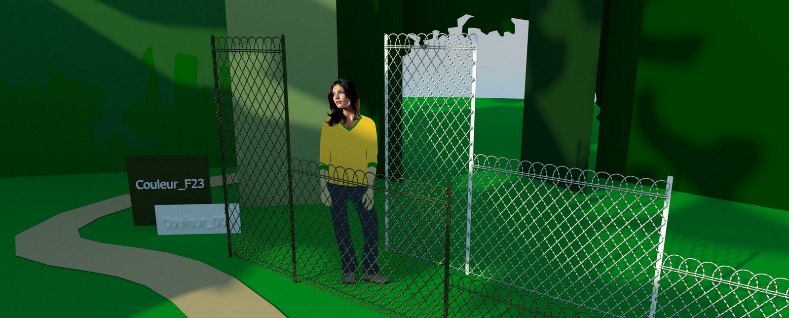
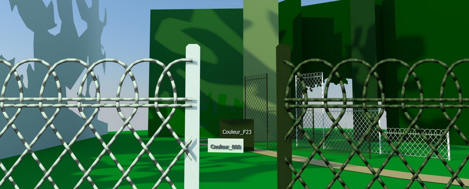
An exercise: DRAWING A PARISIAN FENCE
http://sketchucation.com/forums/viewtopic.php?f=15&t=29342
had given me the idea to achieve the following materials (Su + Thea + Photoshop)
Small + medium + tall Parisian fences png with transparent alpha serie available in white an green
@broomstick said:
that image would make a great map with an opacity mask on it 
@gaieus said:
True, I was also thinking about it. You can easily make it tilable horizontally, too - the only problem is that vertically it should be a bit higher so that you could apply it on more various (although of course, still limited) height.
So here they are:
")


DOWNLOAD SECTION:
White and green series in low resolution available for anyone:
https://mega.co.nz/#!KEsWlRyb!Ho7nYQryDNJVVje-vIFSgB_ZfeFI2SSpIqLCE68gFcg
https://www.dropbox.com/s/2mho9b15megge0q/ParisianFencesWhite%26GreenMat_lowResolution.zip
(Re: TAFF GOCH MODEL available in 3D Warehouse:
Parisian Fence - "Beefier" Version)
http://sketchup.google.com/3dwarehouse/details?mid=1f9d9c90922e59ca2137e32e8ebf2b1
And a preference for SketchUcation member's
White and green series in high resolution + photoshop files containing Diffuse,alpha & normal + the skp SU6 model
Oups! ->wrong text file: rectified 
ParisianFenceMat#downldLinks_2.txt
With my sympathy,
++Simon