Implications of end of google earth
-
-
So why can't Bing imagery be an option? ESRI does it if I'm not mistaken.
-
@dave r said:
You should be frustrated with Google. It's they who are removing the option to use their imagery.
Not at all. It seems highly likely that google would SELL the data after five years and Trimble did not want to pay Google their rate. So they waited four and a half years for the market to provide something free or nearly free and they didn't get it. So they've given us this useless fuzzy garbage. This is NOT data that anyone should be paying for. There is VERY high quality satellite imagery available, with resolutions even higher than GoogleEarth...Trimble just won't pay for it...or give us the option to pay for it. I could be wrong but I'd bet a pizza that I'm not.
-
@alpro said:
Yes I can get better images and terrain data like lidar or dem but how do I get that into Sketchup? Without 10 different work arounds. Might as well go back to Autodesk. And I still feel I have the right to be frustrated with Trimble no matter what Google did, after all it's been Trimble that I have given my money to for the last 5 years and in return I'm getting an inferior replacement for what I consider an important aspect of the software.
Absolutely agree. It's like someone shooting a photo with a cellphone and saying..."hey, this is top quality-its 30 megapixels". Yeah, and it looks like garbage. Without any hyperbole, it is fair to say that the DG image resolution is radically inferior to GE. Many of you may not care...you may not even use the feature. It is in integral par of my daily workflow. I cannot build existing conditions off that fuzzy imagery nor do I want to include it as part of a graphic presentation to a client. It would look like I just took a giant step backwards to them.
It's the most basic tenet of marketing. NEVER take away something from a customer. ALWAYS give them MORE AND BETTER OPTIONS. (and or course charge more money for added quality)
-
@dave r said:
@sketch3d.de said:
@juju said:
Which country may that be?
probably USA.
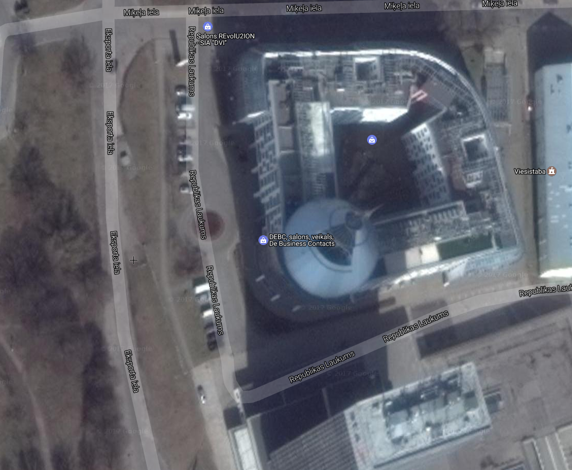
Or maybe Latvia.
DG
[attachment=1:2rcrt2n2]<!-- ia1 -->Screenshot - 5_10_2017 , 8_44_22 AM.png<!-- ia1 -->[/attachment:2rcrt2n2]Google
[attachment=0:2rcrt2n2]<!-- ia0 -->Screenshot - 5_10_2017 , 8_44_37 AM.png<!-- ia0 -->[/attachment:2rcrt2n2]It doesn't look better to me. It looks like the color saturation has been pumped up on the DG. And the level of detail is far greater on the GE...even in your screenshot- I can count windows and floor levels. Look at the the detail of the DG. It's not there,
-
All fury at Trimble put side...Does anyone have a realistic way of importing any other higher quality 3D and jpeg imagery? Are there any possible workarounds at all?
I am planning to purchase Daniel Tal's new PlaceMaker extension as it contains the Open Street Maps imagery data...plus added features. The imagery to me looks like it's not as clear or crisp as Google Earth but better than the Digital Globe drek.
-
If using Google Earth Pro exports as sketch3d.de suggests check out the extension DanielTal_GEmaker to help ease the pain of scaling/lining things up.
-
i tested the trial of su17 both before and after may 22 deadline..
looks like the terrain quality of the DG globe import was far better (very close to google earth mesh, but terrible texture resolution in comparison) before may 22 than now.. now the same locations i tested before 22 are left with just a couple of triangles..
has anyone noticed the same? -
@panixia said:
i tested the trial of su17 both before and after may 22 deadline..
looks like the terrain quality of the DG globe import was far better (very close to google earth mesh, but terrible texture resolution in comparison) before may 22 than now.. now the same locations i tested before 22 are left with just a couple of triangles..
has anyone noticed the same?I'm seeing the same thing. Grid square's were around 50 feet before and now they are at about 250 feet for the same zoom level and same location for the DG stuff.
-
I just tested out the new maps, and also found the resolution is much lower than before. Blech! Really disappointed with this change @Trimble.
-
alternatively, it seems Archicad (and possibly Revit too?) also can import from Google Earth, both mesh and image, and then save as SKP.
you just need what? $15k?
-
DG claims at least to "offer the highest quality satellite imagery in the industry" down to a resolution of 25 cm (WorldView-3 sat).
Trimble should maybe acquire additional satellite imagery sevices from e.g. Planet Labs (formerly Google Terra Bella).
-
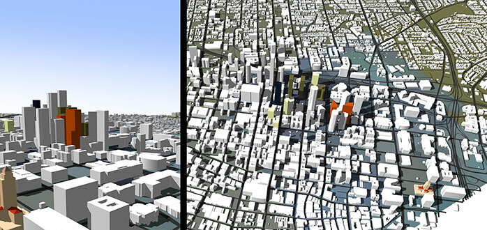
Although it complicates workflow, apparently this program does the same that Sketchup used to do, possibly even better (bigger 3D mesh areas in the highest resolution without having to add multiple grabs)...
But it costs U$250 for the version which can grab terrain meshes. The plus version (which can grab 3D terrain meshes) can also create profiles from the terrain, cross sections and slope analysis.
Home
CAD-Earth allow you to import/export images, objects and terrain meshes between Google Earth and AutoCAD and create dynamic contour lines, profile meshes, video animations, and more.

(www.cad-earth.com)
-
@andybot said:
I just tested out the new maps, and also found the resolution is much lower than before. Blech! Really disappointed with this change @Trimble.
I agree with Andy on this one. This is one of the biggest features which is now lost. These aerials and topo meshes are a useless heap of steaming garbage (sorry Trimble but they are).
Maybe Placemaker is the answer?
SketchUp PlaceMaker - A SketchUp Extension and Instant 3D City Builder
PlaceMaker is a SketchUp extension that lets you instantly build 3D cities into your model! Import buildings, trees and forests. Place 3D roads, paths and water. Use our affordable BuildingMaker 3D modeling service. Model directly onto 3D terrain and export your model to Revit. Learn more.

SketchUp PlaceMaker (www.suplacemaker.com)
-
@aceshigh said:
Although it complicates workflow, apparently this program does the same that Sketchup used to do, possibly even better (bigger 3D mesh areas in the highest resolution without having to add multiple grabs)...
But it costs U$250 for the version which can grab terrain meshes.
Looks like a business opportunity for CAD-Earth, given the number of people whose SU workflow depends on quality geo-imagery / terrain grabs. If they were to make their tool directly compatible with SU — and thereby resolve the workflow issues — I imagine their would be a raft of SU pros showing up at their door happy to pay $250 to replace the lost (critical) functionality.
Would be curious to know how extensive their coverage is... and how the've got around the API IP restrictions that are the claimed reason why SU can no longer provide this exact functionality from Google. Two possibilities spring to mind:
- that they are skirting / impinging the restrictions.
- That they have negotiated a license arrangement with Google that legally allows such usage.
If (2), then it has interesting implications for this discussion and the rationale provided for the degradation in SU 'Add Location' functionality. Hmmm...
-
@blackdogsketch said:
...importing any other higher quality 3D and jpeg imagery? Are there any possible workarounds at all?
export from free Google Earth Pro.
@blackdogsketch said:
Daniel Tal's new PlaceMaker extension ... The imagery to me looks like it's not as clear or crisp as Google Earth but better than the Digital Globe drek.
@whaat said:
-
Is anyone still fuming over this? I am trying to get site information for a model and SketchUp was always the go to. Now I don't know what the heck to do. These topo models that import from DG are useless. The grid is WAY to spread out. In some cases 100-200' grid. That's ridiculous.
-
@valerostudio said:
Is anyone still fuming over this? I am trying to get site information for a model and SketchUp was always the go to. Now I don't know what the heck to do. These topo models that import from DG are useless. The grid is WAY to spread out. In some cases 100-200' grid. That's ridiculous.
Yes.
I went the revit route, mentioned previously here and in other threads. It worked but it was very frustrating. It bloated my model and I had to sit through dozens of spinning wheels. For example, here is an area of a site I modeled that had just enough slope that I didn't have time to clean it up:
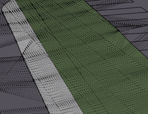
The old way would have been a piece of cake with hundreds of entities. This one, x 4 acres, was a real strain on my computer.
-
Yep - me too!
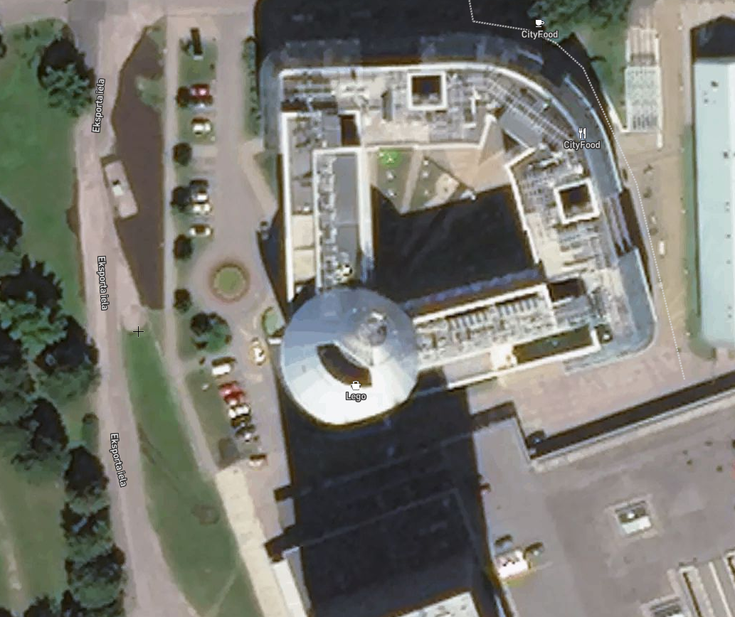
I have been working on a large project for a few months, came back to working on a few site mock ups and noticed the diminished quality of the "add more imagery" when trying to set up my 9 square grid of the city block I was working on.
Ended up grabbing Google Earth Pro and saving the highest resolution and then attempted to scale it to match the blurry DG image.
For some reason I couldn't draw directly on the top of the GEP image, I had to draw from the bottom - very odd.
But I really noticed there was something amis when I started extruding buildings and wanted to "Add Photo Texture..." that was where I was informed of the 5 year contract with Google that had expired and after I made do with just faceless blocks I came here to see what the F was up!I am looking for a viable alternative for both features I have lost and will be following this and any other thread that pop up on the subject.
-
I sent an email direct to Trimble which was forwarded to Bryce. It's just crap and to even suggest that this is an ok replacement is a slap in the face of all SketchUp users. They should have honestly cut a deal with Google and told us that we would have to pay a fee for the service.


Advertisement