Large Terrain Mesh
-
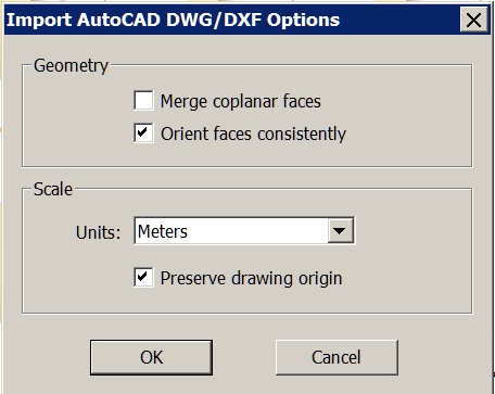
Try 'NOT preserving the origin' of the imported data - it's probably zillions of meters away from [0,0,0]...
Then when it's loaded zoom extents ? -
Dear specialists,
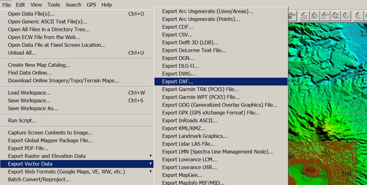
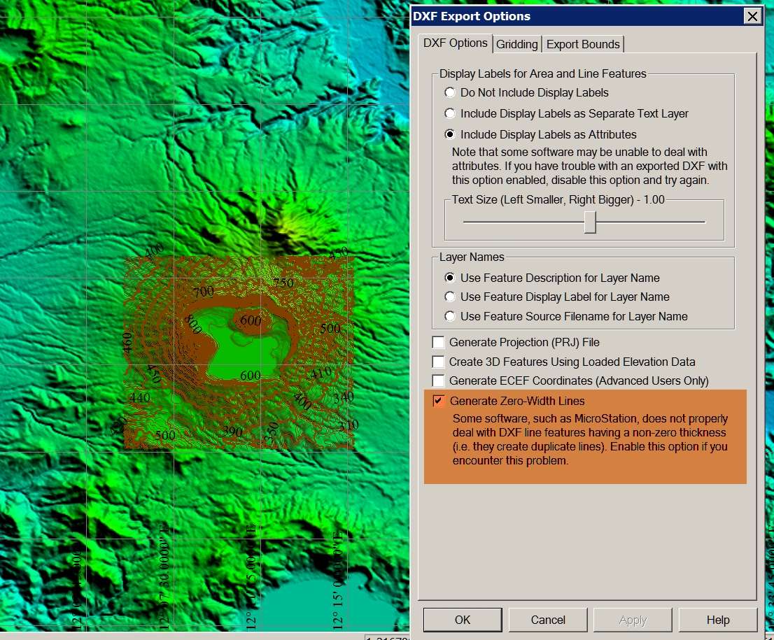
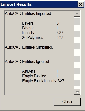
I have a question again. I have created in Global Mapper contour lines. Then I export the vector data as a DXF. When I import it into SketchUp, the layer are displayed, but the model is not visible. What am I doing wrong? I thank you in advance for your help.
Charly
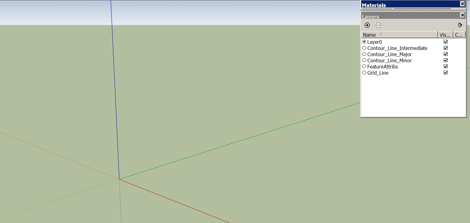
-
Hi TIG,
then I see a very small piece. Only when I scale it I see it is only a grid. Now what I've discovered! The problem I had once before. I can not remember the solution.
Charly
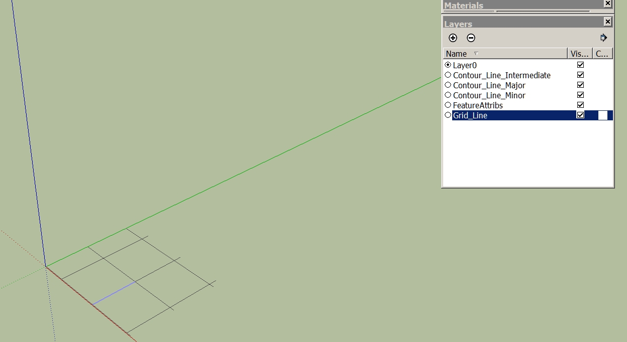
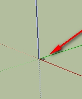
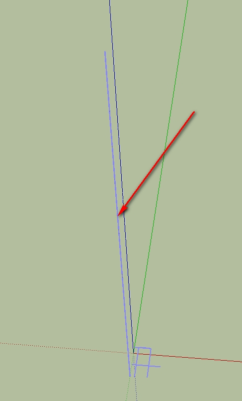
-
Could it be a scaling issue? Is the import scale and the original scale the same? If it is very tiny, it would explain the missing faces.
-
Hi Gaieus,
If I knew that! I only know that I yesterday tried it with the contour lines (same Options in Global Mapper) of the Vesuv and it worked.
Charly
-
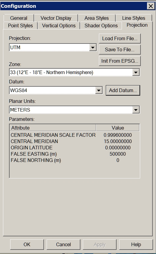
Problem solved! I forgot to change the projection to UTM Datum WGS84.
Charly
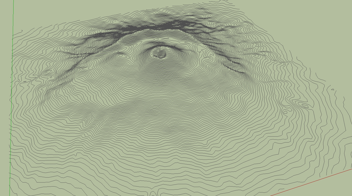
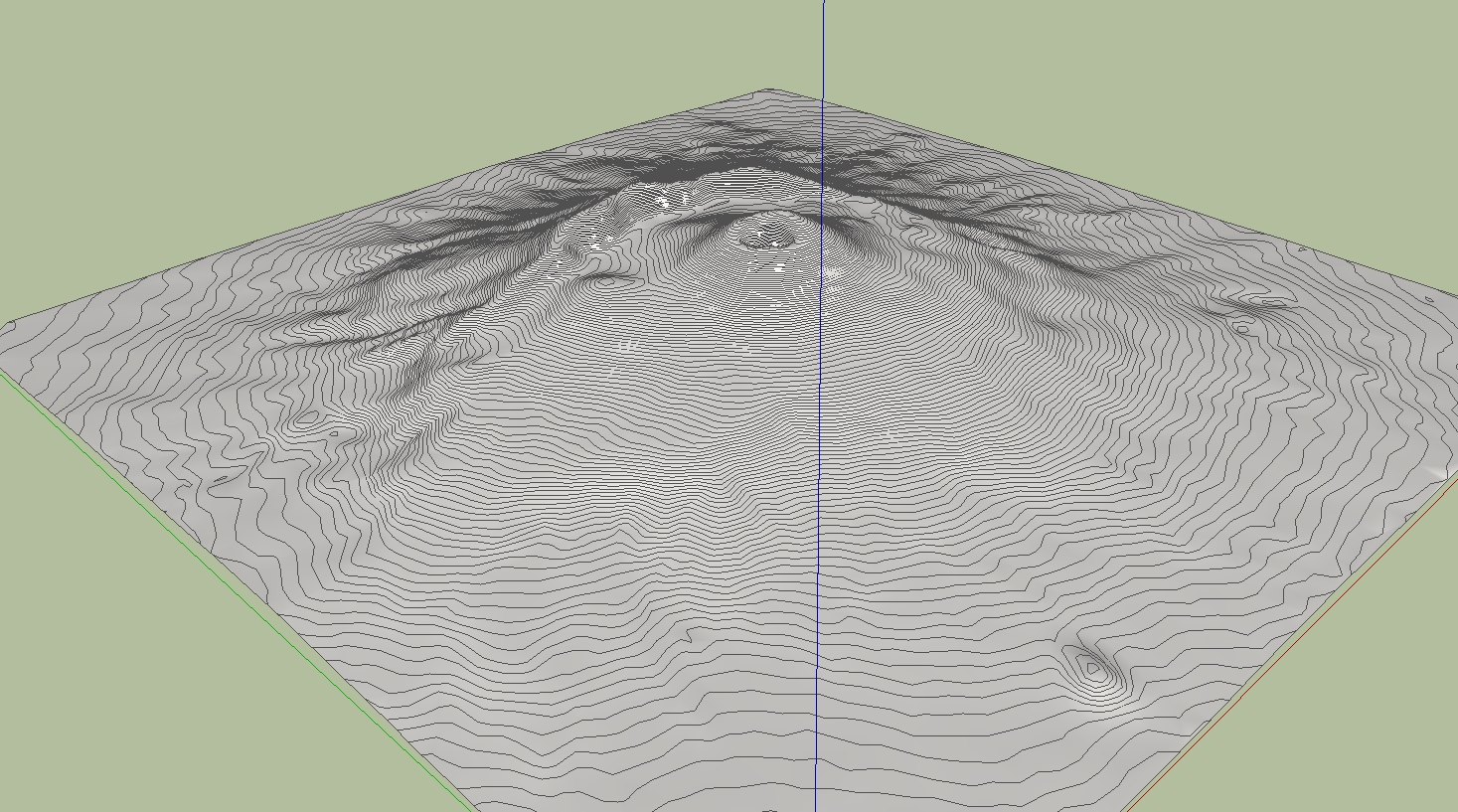
-
Cool. And now let's see some nice eruption!

-
Through some experimentation and the help of someone who has a newer version of DE, I was able to determine that the problem I was having is related to the way the DE reduces files of different types.
Solo was importing the DXF file into Sketchup and saving it as Sketchup version 6 prior to reducing the mesh in DE. I was unable to import the DXF file into Sketchup due to it's size so I was opening the DXF file directly with DE.
After sending a sample DXF file to a friend with a newer version of DE and hearing that he was seeing the same problem, I began to suspect that it must have something to do with the file type so I tried converting the DXF file to another type, OBJ I think, then opened that with DE and reduced the terrain mesh. After doing this, I was finally able to obtain acceptable results at 90% reduction.
-
Hi,
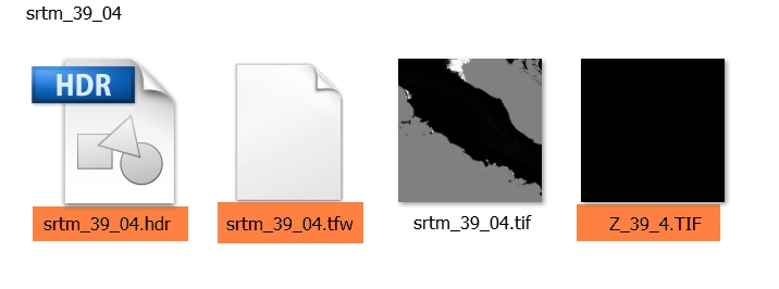
I have a additional question to the downloaded SRTM. For what purpose is served by the tagged files. Thanks in advance.
Charly
-
I have used Global Mapper quite a bit to generate contours for import to SU. The largest I have done was about 2000 acres. You may want to play with the contour interval to speed up SU. I generated a terrain model with 2' contours on 2000 ac. SU ran all night. When It was complete, I had to zoom WAY back (really far). Good Luck, sounds like a cool project.
Advertisement


