@dprince said:
@solo said:
@dprince said:
@pixero said:
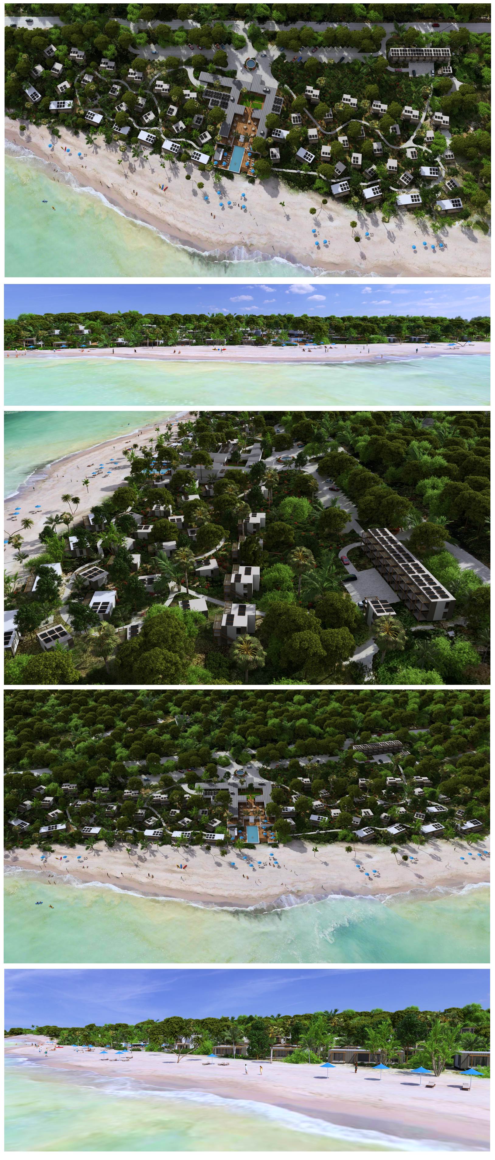
Several years ago I rendered a animation with Vray 1.5 on one PC.
I believe rendering took 4-5 weeks 24/7.
I would NOT do it like that again.
With Enscape I rendered a 4 minutes animation in less than an hour.my machine cant run enscape . each time i try it crashes
You said in a PM you had $1600 to spend on a new laptop, this will get it done:

Amazon.com: Dell Alienware R4 15.6" Full HD Gaming Laptop, 8th Gen Intel Core i7-8750H, 16GB Memory, 1TB HDD + 8GB SSD, NVIDIA GeForce GTX 1060 6GB, Windows 10 : Electronics
Amazon.com: Dell Alienware R4 15.6" Full HD Gaming Laptop, 8th Gen Intel Core i7-8750H, 16GB Memory, 1TB HDD + 8GB SSD, NVIDIA GeForce GTX 1060 6GB, Windows 10 : Electronics

(www.amazon.com)
I was looking at this also ASUS ROG STRIX Hero Edition Gaming Laptop, https://www.amazon.com/dp/B076D95JW7/ref=cm_sw_r_cp_api_i_2m6KCb2GCA8BM

Considering you are usimg Vray 3.4 I assume you are not using GPU rendering, so the alienware will have more cores than the ASUS, both will work great for Enscape however
 I want to discuss pros and cons of obj vs. dae format import. Nice intro video you linked Solo, glad to see they are finally taking seriously the UI compatibility with other software