Hi,
I need information about the .skp format because I can't find any information about it.
Can anyone help me?
Hi,
I need information about the .skp format because I can't find any information about it.
Can anyone help me?
Is it possible that near the coast is not possible enter into the water?
Ok, thanks for all!
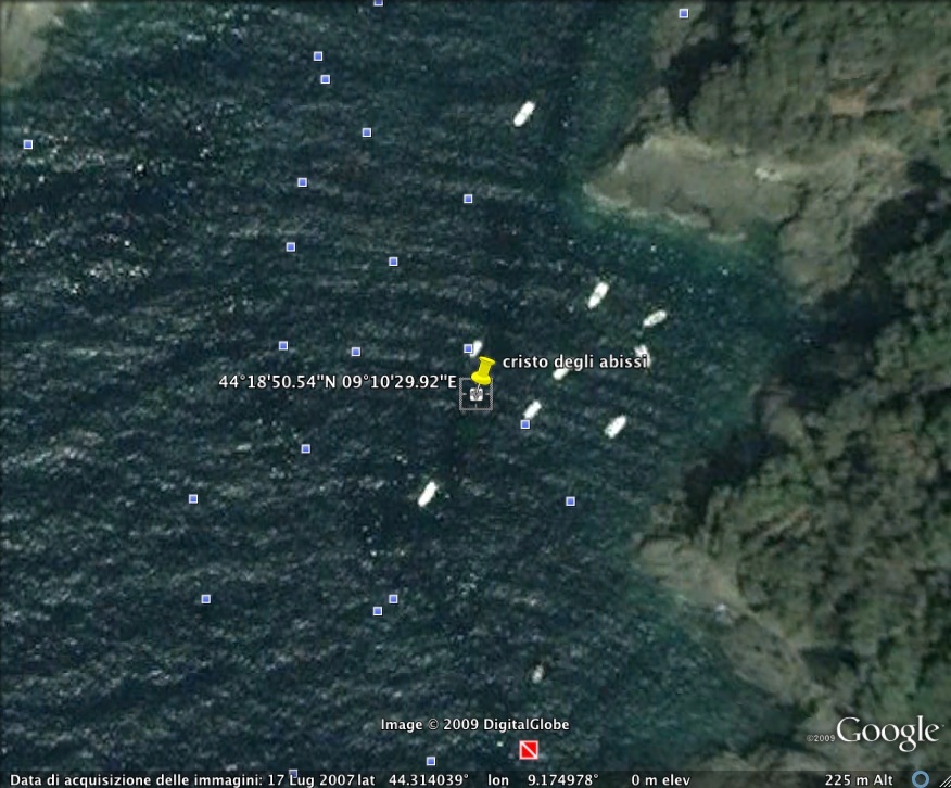
this is the real image...but I had to import not the image but the seabed of the point... The correct image is the following (I don't know why it is different from your)...but I can't enter into the seabed...why???
I'm getting crazy!!!!!!!!!!!

Good morning,
the cordinate are:
44°18’50.54” N
09°10’29.92” E
(44.314038°; 9.174979°)
And it's a submarine environments...
How can I obtain the snapshot? 
Chiara
How did you do to apply the sketchup coordinate to the model?
I need to obtain the coordinate: 44.3140, 9.1750 but in google earth are converted in 46.4000...Is there a kind of convertition?
Chiara
Because it is a submarine model and its not possible using this tutorial (the seabed doesn't exist).
Tks,
Chiara
Hi,
I have a problem importing a sketchup model into google earth. I insert the correct coordinate in sketchup but in google earth the conversion is different.
Any ideas????
Chiara