 What if you could make an image file that could encode for overhangs?
Basically it would be a flat image with a curvy perimeter within the rectangle that when smooshed would make a rectangular-based object that would include overhangs, and potentially tunnels (A perimeter within a perimeter, matched with another across the map.) Also a different color perimeter or lack thereof would create sphere or bumpy boulder, or even a planet if your memory can handle it.
So right now is is black and white for basic z-height. How much information could be encoded using rgb? Red values might indicate what pixels it lines up with, blue indicates order and green indicates height or distance.
Using the perimeter as an encoding medium for the flattened surface for distance it must go for the final product.
This was just a random idea I had a few minutes ago while thinking about this plugin, it is possible but the way might not be very straight-forward. The image format might have to be something more than a .bmp. Also a good thing that might come out of this is large scale compression potential. Also organic shapes...
Bryan
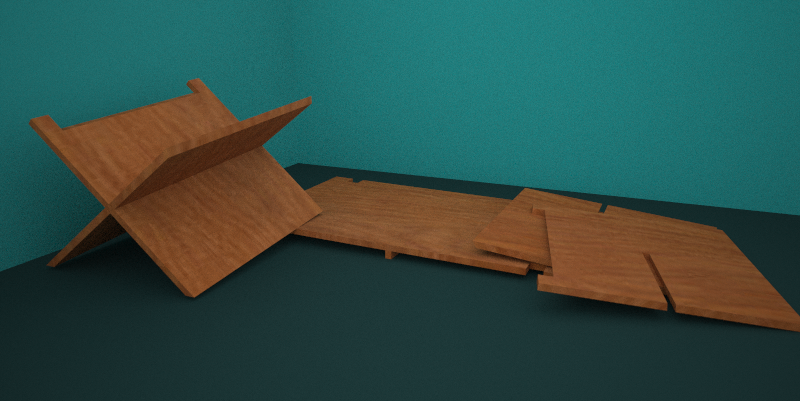
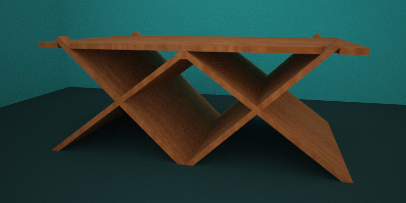
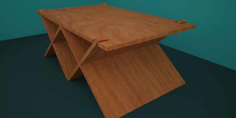
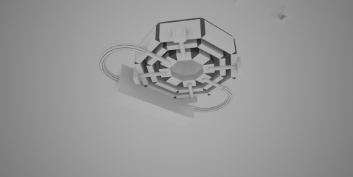
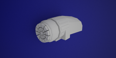
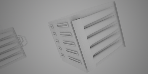
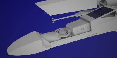
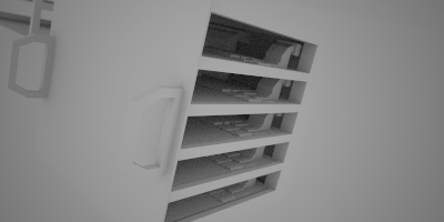
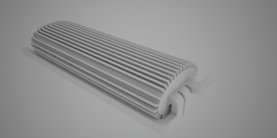


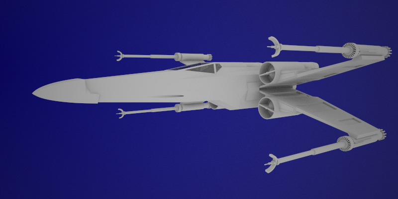


 My ideas are getting far beyond my grasp of ruby and the API. I should keep it simple for a bit.
 What if you could make an image file that could encode for overhangs?