[plugin] Clip or Trim Terrain Mesh (Update)
-
Love the combo tool,
once I got my head around it EDIT removed potentially misleading comment...and I found a use for it for me as well. 3D cycle route maps...
anyone got an easy way of using Google Maps as the terrain texture,
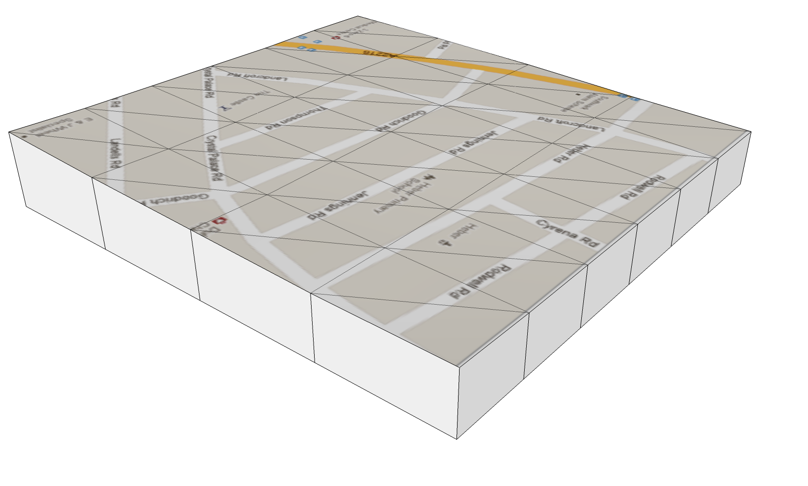
this ones manually scaled and aligned with the 'Google Earth Snapshot' then applied as a projected texture onto the Terrain Grid.

Google if your reading, can we have a map option? please...
good work Sam
john
-
No, me neither, I had a search for mac key-codes etc,,, but I might try searching mac 'toggle' as keycode 16 seems to work.
EDIT 16 on it's own dosen't work on mac [I'd left the other in, but opened a copy when checking, what I'd done... sorry] -
Hi, sdmitch:
Thank you for your generousity in sharing this tool. -
Hi Sam, On your blog you have added an impressive list of plugins including these two however there is also a 'terrain tool's plugin that doesn't have a tutorial video. How does this differ from these two listed here?
cheers, thanks for your fantastic work!!

-
Terrain Tools is just the collection of all my plugins that pertain to GE Terrain's. Clip or Trim being one of them plus two others. There are no other differences. I just put them all into one to help minimize the entries in the Plugins menu.
-
Ok, thanks Sam.Just on GE:
I noticed in your Clip or Trim tutorial you merge two terrains of differing proxy. Does GE determine the resolution of your export into SU by your current eye high as well as the maximum resolution you end up with?I have a situation at the moment where I want to obtain the maximum resolution of of GE however my site covers about 3 hectares and I need to cover it with a GE image.
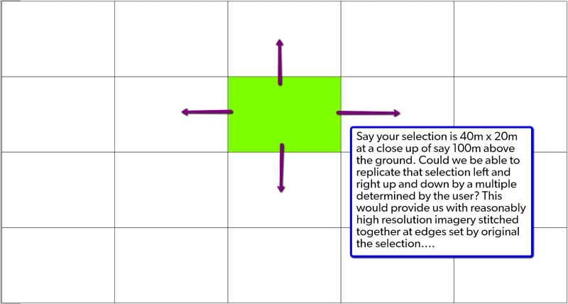
I wonder if there is a way recall you last selection when exporting GE imagery or even replicate your selection left and right multiplied by how far you want? [See image below...]
Cheers,

-
Thers is no way to "automate" that that I am aware of.
-
You guys are absolute legends. You take modeling to a whole new level.
I was hesitant to join SketchUcation because i hate useless info, but honestly: you guys rock!
Special thanx to Gaieus and ThomThom for their constant useful contributions.
-
@dinkdesign said:
Special thanx to Gaieus and ThomThom for their constant useful contributions.
Well, I really had to approve this post (even though I have not contributed with anything in this topic).

-
Sam, thank you for sharing your efforts.
-
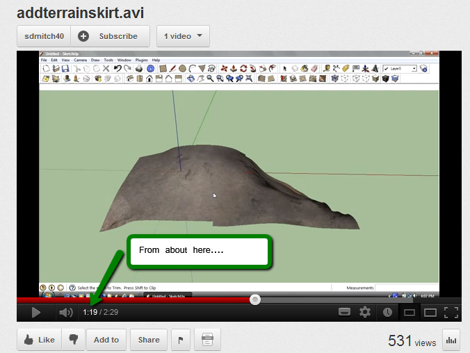
Hi Sam, during your tutorial video at about 1:20 you say, 'If its only zoomed out 3 or 4 clicks....'
What are you referring too here?

-
I viewed the tutorial and I don't hear what you heard but I would assume that I am referring to zooming out from the smallest possible patch 3 or 4 clicks.
-
Thanks for the reply, Sam.
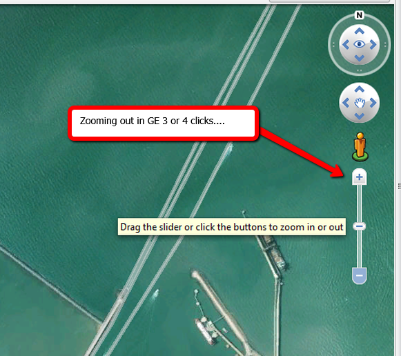
At about 1min 20sec you refer to 'if its only zoomed out 3 or 4 clicks [no more than that] the grid of the two patches match....'

Are you referring to zooming in Google Earth:


-
Yes, the Google Earth get location zoom. I thought you were talking about the clip and trim plugin not the add skirt.
-
My bad, Sam. I can see how you would have been ill informed....

Thank you.

-
Is there a way to make these plugins work with SU 8?
-
@greatcurve said:
Is there a way to make these plugins work with SU 8?
Are you getting errors?
The author uses SU8 - as his profile says - and usually if a plugin doesn't work with a version it's explicitly stated in the plugin description. I believe this should work with SU8. -
Works fine in v8
-
Sorry. I'm learning to use google/SU terrain tools as they are quite handy for making large terrains as opposed to Max.
Gaieus helped me out on the Lumion forum and I was able to get everything going.
-
This is amazingly fantastic - biiig thanx.
Advertisement


