Hi,
The reason I need this is that I work in city planning in Norwegian towns, often with official technocrats, politicians and other non-architects. We need a way to explore ideas quickly, often while we discuss them, in order to see the effect of height, vistas, shadow etc - something not clear from a 2D sketch.
My other tactic is to turn off perspective, change to top view and draw on a flat semi-transparent plane way above the terrain, then using the "drop groups"-plugin to drop the shapes down to the terrain below.
Even though this is pretty quick, it means I have to keep hiding/unhiding the plat plane above, and the constant changes in perspective makes my coworkers/clients confused. Also, any seconds I can save are valuable as I do this action a lot.
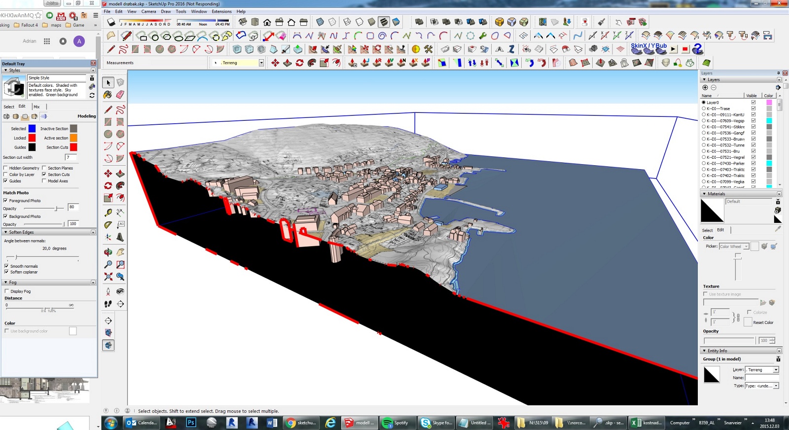
The terrain is not from Google earth, but high resolution sandbox terrain, although the problem would be the same - I need the buildings placed quickly at the correct elevation. The reason these boxes are different size is that they need to look like or adapt to existing buildings, either already built or visible on the aerial photo projected onto the terrain.