sketchucation logo sketchucation
    • Login
    1. Home
    2. dbwv69
    3. Posts
    πŸ›£οΈ Road Profile Builder | Generate roads, curbs and pavements easily Download
    D
    Offline
    • Profile
    • Following 0
    • Followers 0
    • Topics 2
    • Posts 61
    • Groups 1

    Posts

    Recent Best Controversial
    • RE: Large Terrain Mesh

      I am starting to believe that Sketchup simply doesn't have the horsepower to do what I need to do.

      Does anyone know of any decent (free) 3D Mesh poly reduction programs? I heard that Blender can do it but I'll be darned if I can make heads or tales of it's odd user interface. I also tried Meshlab but it crashes at the drop of a hat.

      Then there is the problem of converting DXF or other files to formats that the various 3D programs can import. You'd think the 3D software world was ran by monkeys with all the variations of files and interfaces that are out there.

      This is starting to give me a headache the size of Texas.

      posted in SketchUp Discussions
      D
      dbwv69
    • RE: Large Terrain Mesh

      While reading over everything again, I just realized that we may have been using a term in very different contexts and with different meanings.

      Several times I mentioned DEM's only in my case, I meant Digital Elevation Models (GIS data). From reading everything, it appears that the term DEM has a different meaning in Sketchup terms. Previously, I had always assumed that anything (terrain mesh) with a network of triangles was a TIN but it looks like I was mistaken. Can someone set me straight on this one?

      posted in SketchUp Discussions
      D
      dbwv69
    • RE: Large Terrain Mesh

      I'm officially abandoning point clouds.

      I can't believe I didn't see it before but Global Mapper gives me the ability to export DXF mesh files, as mentioned previously. As it turns out, I can also change the resolution of the exported mesh files on the X and Y axis to make the exported DXF mesh file more Sketchup friendly.

      It doesn't solve the "dual resolution" problem but it yeilds the same or better results than the point clouds did, and all without the hassle of converting DEM's to XYZ files then importing them as point clouds and waiting for triangulation to finish. Overall, the process is 100x faster.

      I'll be the first to admit that I am by no means a Sketchup expert, especially where terrain meshes are concerned, but I am learning fast, the hard way.

      posted in SketchUp Discussions
      D
      dbwv69
    • RE: Large Terrain Mesh

      Unfortunately, this isn't a paid project. It is part of a much larger ongoing personal research project I am conducting. Think of it as a means to visualize the things I discover.

      As for saving a few bucks, I'm not trying to be stingy, not by any means. It's simply a matter of money. In these tough economic times, I am sure you can understand. Ordinarily, I would not hesitate to spend whatever is necessary in order to achieve my goal but in this case, I am forced to seek alternative and sometimes even creative solutions. It is by no means easy but I like the challenge.

      I completely agree about what I have come to call "dual resolution" and have been seeking that very thing, without much success I am afraid. If there were an easy way to keep high resolution at the lower elevations while greatly reducing the resolution at the higher elevations, I would love to do exactly that.

      You are correct about my having direct access to high resolution data but Sketchup is the only CAD-like application I am using. I use Global Mapper GIS software to export the raw data into a variety of forms including DEM, DXF, contours, etc... then import that into Sketchup.

      The data itself is 3 meter resolution Lidar data provided by the USGS and is nothing short of beautiful when rendered at maximum resolution but it is far more than Sketchup can handle so I am doing my best to find a decent compromise.

      My original approach was to use a TIN generated by importing the DEM directly into Sketchup with an accompanying topo overlay projected as a texture. This worked great until I tried to scale things up.

      Here is a sample image of a small terrain mesh generated by importing a high resolution DXF mesh file into Sketchup. As you can see, the resolution is superb, but working with the mesh alone was just about all Sketchup could handle.

      Maximum Resolution DXF Mesh.jpg

      @bjornkn said:

      Also using crude math, that would give you a resolution of 18mx18m each square.
      Or 14x14m with 400% and 12008. That is much more than you need in remote, less visible areas, but way too little precision for close-up areas as far as I can tell..
      I don't know if this is a paid job or not, but if it is I think you're wasting a lot of time trying to save a few bucks. I can't see how you could possibly make such a large area at an acceptable resolution from a triangulated point cloud. You obviously have access to the full data and CAD software since you can export contour lines and/or point clouds?
      With a TIN you can also easily align a topo orthophoto, because it is actually possible to see the terrain from above. It would also be very easy to make the terrain rectangular. And with Amorph you could output point clouds for the detail areas only and generate accurate meshes that passes through every one of those points. Great for building sites etc too.
      How are you going to handle vegetation, buildings, poles, masts, people, cars(?), tracks + the train itself?
      SU is not gonna like 300-500k faces + all the props and objects I'm afraid.
      Are you going to render this inside SU, or in some external program?

      @thomthom: I'm in Kristiansand (just updated my profile too )
      Just as unflat here as in Trondheim πŸ˜‰

      posted in SketchUp Discussions
      D
      dbwv69
    • RE: Large Terrain Mesh

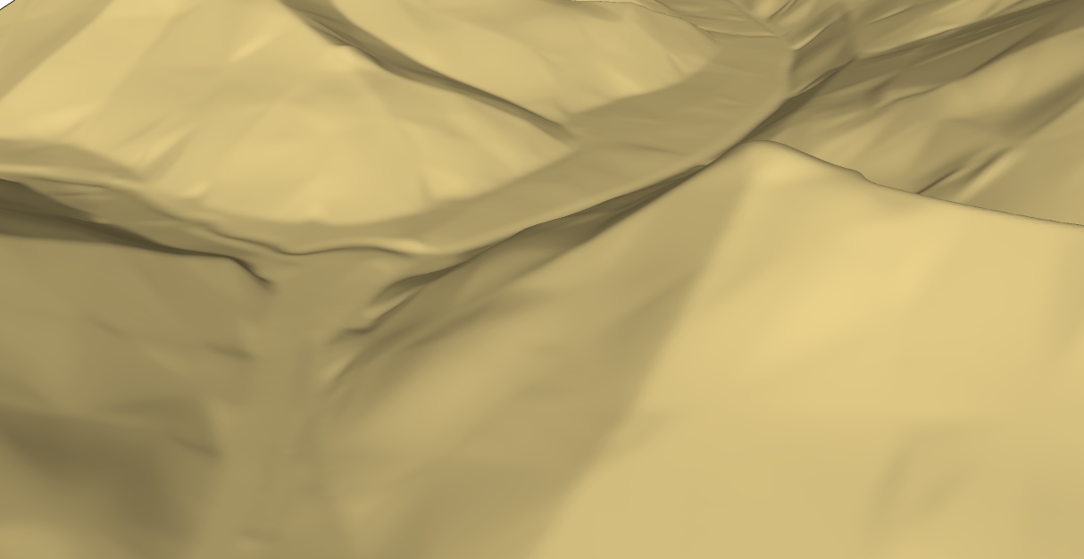
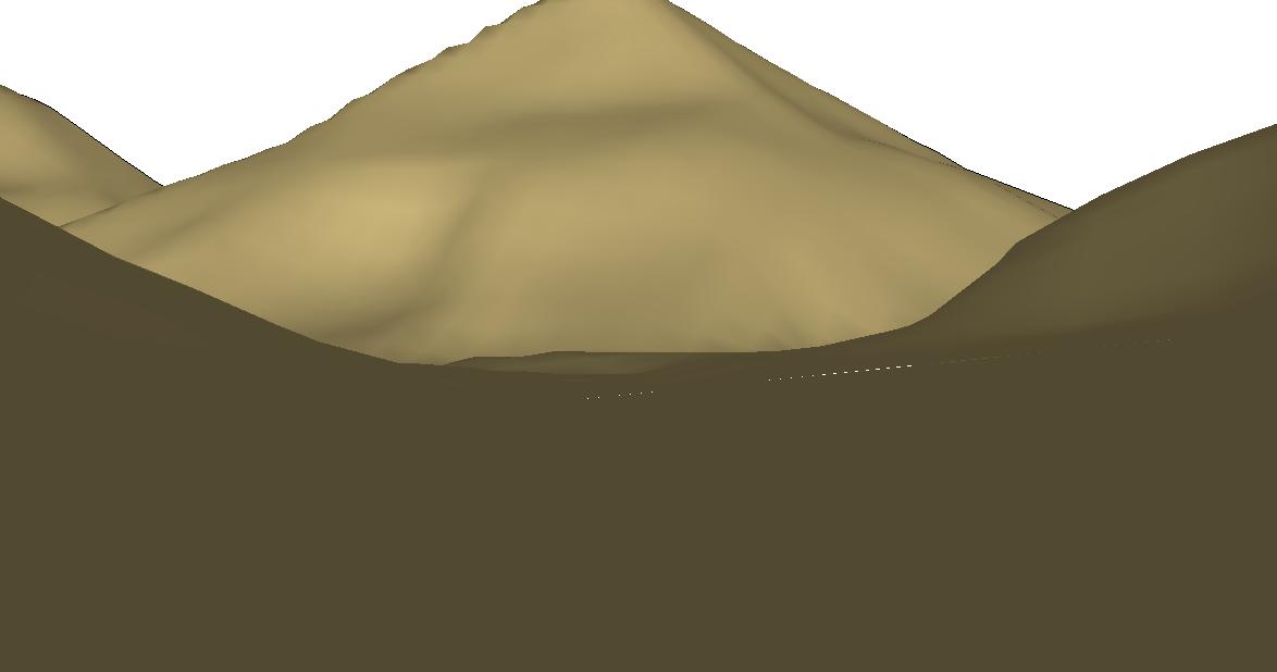
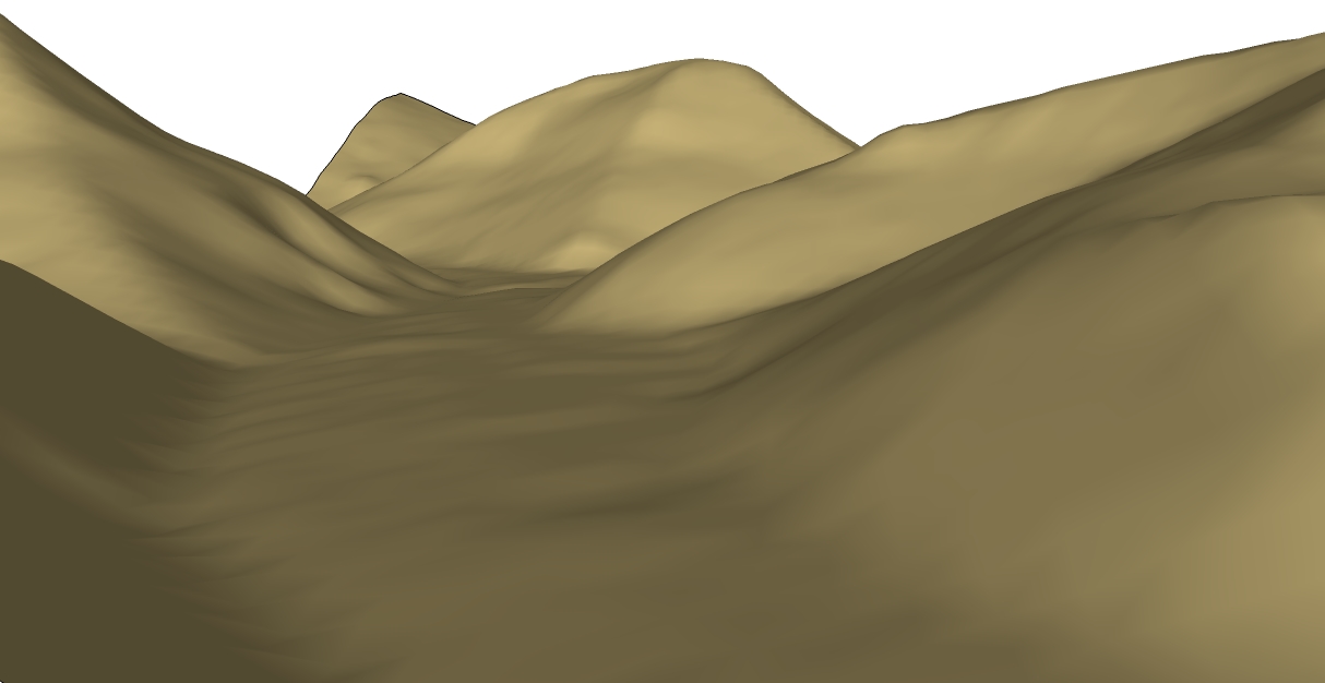
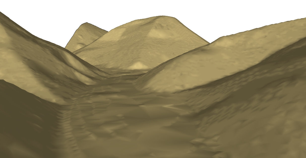
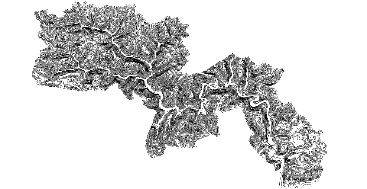
      I did some further testing to see if I could increase the sample spacing, thus reducing the point counts and resulting triangles contained in the generated terrain mesh while still managing to achieve an acceptable result.

      First, I created 5 different XYZ files, each having different sample spacings ranging from 100 to 500 percent, from a test area of approximately 1 square mile.

      XYZ Sample Spacing = Points

      100% = 193053
      200% = 48336
      300% = 21518
      400% = 12008
      500% = 7696

      Next I generated terrain meshes from the imported point clouds for the 400 and 500 percent sample spacing XYZ files. I already knew that the 300 percent file would have yeilded too many triangles in the resulting terrain mesh so it and the others were not tested.

      Triangulation Samples:

      12008 Points = 23556 Triangles (Faces)
      12008 Points = 35563 Edges

      7696 Points = 12513 Triangles (Faces)
      7696 Points = 19972 Edges

      The 500 percent file yeilded a terrain mesh that was just beyond what I would consider an acceptable result but the 400 percent file yeilded a terrain mesh which appeared to be useable.

      Using crude math, I estimate that the XYZ file for the entire area would contain about 180,000 points and if divided up into 5 distinct areas, each would contain about 36,000 points. The number of triangles that would be contained in each resulting terrain mesh is unknown.

      While waiting for the test meshes to triangulate, an idea came to me...

      I could generate and import a point file for the entire area, then edit or delete the points, thus shaping them into 5 distinct areas. It would solve the problem of keeping each mesh in the same 3-D space.

      However, I remain uncertain of how I would be able to also import topo or satellite imagery and keep it properly aligned with each terrain mesh. I suppose I could create a point file for a square area as opposed to an irregular area, then trim the point cloud down after everything is aligned but that would mean a lot of extra overhead. There is also the problem of trimming the projected texture images down while keeping them properly aligned.

      posted in SketchUp Discussions
      D
      dbwv69
    • RE: Large Terrain Mesh

      Nice train! It reminds me of one near my home called Cass Scenic Railroad. It was an old logging railroad years ago and was converted into a scenic park for tourists.

      On another note, it looks like the decision has been made for me. I tried importing the full XYZ file into Sketchup and it did not like it at all. I imagine that triangulation would crash it for sure.

      So, it looks like I will be splitting the area up into separate meshes afterall. Dividing it up into 5 separate meshes would yeild areas with about 75-80 thousand points each. I am not certain but I think even that might be pushing the limits a bit.

      That also leaves the question of how to line up the meshes. This is not going to be easy. LOL

      posted in SketchUp Discussions
      D
      dbwv69
    • RE: Large Terrain Mesh

      Out of curiosity I generated an XYZ file at my preferred resolution of 300% above normal sampling and it contains 395983 points. I wonder how long it would take to triangulate and how many triangles the resulting mesh would contain. I have no idea actually, but I am thinking days to triangulate on a P4 and millions of points. Am I even close? For that matter, could Sketchup handle a terrain mesh of that size, especially after it was populated with "stuff"?

      Oh how I wish I could use a simgle terrain mesh because multiple terrain meshes are going to be a real pain. LOL

      posted in SketchUp Discussions
      D
      dbwv69
    • RE: Large Terrain Mesh

      When finished, the terrain will primarily be used to show individual scenes as well as video along the entire length of the historic rail line from a ground level perspective. Imagine sitting in the cab of a locomotive as it travels. That is the perspective I am seeking.

      Ideally, everything at ground level, streams, roads,etc... would be at maximum resolution and everything upwards (mountains) would be at a considerably reduced resolution to maximize performance.

      So far, the best results I have managed to obtain, which satisfied both requirements of detail and performance, were achived by exporting the raw DEM data to an XYZ point cloud file then importing that into Sketchup and triangulating it there. The mesh was more detailed and much cleaner than anything generated using other methods with the added benefit of being able to trim or fine tune the point cloud prior to triangulation.

      Currently, I am experimenting with dividing the area into 3-5 quadrants or irregular sections with some overlapping terrain between each to permit the generation of a seemingly continuous video by carefully synchronizing camera points on a given path.

      However, due to the irregular borders of each terrain, I am having difficulty with precisely matching each terrain in 3-D space after import and conversion so that camera paths, roads, etc.. will line up. Additionally, it is important for the terrains to match because I need to overlay topo imagry for building location points and eventually for aerial imagry projection.

      In my previous experimentation with generating contours from the raw elevation data, the results were somewhat less than satisfactory. Regardless of what I tried, detail was always lost at the ground level, even when I used contours at 1 meter spacing. Otherwise, I agree that simplifying contour curves is a must.

      The Amorph and Artisan plugins look great but I prefer to keep it "free", at least for now anyway.

      @bjornkn said:

      First of all you need to decide what level of detail you need, and where you want it.
      If you're going down at ground level you need more detail, but you'll probably not getting that close to the entire terrain?

      {SNIP}

      posted in SketchUp Discussions
      D
      dbwv69
    • RE: Holes or Strange Patches in Terrain

      I did some comparisons by generating terrain meshes using various other methods including the from scratch sandbox tool and the strange speckles were present in all of them. Thinking it might have something to do with my computer, I tried it on two other machines with different operating systems with the same result.

      I turned on hidden geometry and zoomed in as close as possible with the aid of the screen magnifier and was able to determine that it only occurs when two lines come into contact with each other on a parallel plane. As the model is rotated or moved and the lines come apart again, the "speckles" vanish again.

      It appears to be a Sketchup bug of some sort.

      posted in SketchUp Discussions
      D
      dbwv69
    • RE: Holes or Strange Patches in Terrain

      Upon further examination, I discovered that there are still some minor "glitches" that appear randomly as the terrain mesh is rotated or moved. They are much smaller than before though.

      Example shown below:


      Point Cloud Terrain Test 3.jpg

      posted in SketchUp Discussions
      D
      dbwv69
    • RE: Holes or Strange Patches in Terrain

      It's funny that you mentioned it because that is my next step after I manage to generate a terrain mesh that is useable. I plan to organize the model into distinct layers and groups before modeling anything so I can keep the majority of things turned off while working with the model. I cut my Sketchup teeth on that one a few years ago while doing a very complex building model. It was interesting to say the least.

      I have never attempted to model anything even approaching this scale so it should be an interesting challenge.

      One thing I have been experimenting with while waiting for various terrain mesh tests to generate is roads. Do you know any effective way to generate roads other than using the drape tool? I've seen the "Instant Road" plugin but I prefer to see what alternatives might be available before purchasing a plugin for a single project.

      @gaieus said:

      Well, you can always use layers to hide groups/components you are not currently working with. Also, there are a couple of plugins that make a simplified version of a component (say a whole house) and display that while you are working then switch back again when you are exporting images and such.

      http://forums.sketchucation.com/viewtopic.php?t=21469

      posted in SketchUp Discussions
      D
      dbwv69
    • RE: Holes or Strange Patches in Terrain

      Unfortunately, I know all about hardships because it has taken me over a week to get to this point while trying to find a solution that would generate a terrain that looked good and performed reasonably well. I can only imagine what I have yet to encounter when I start populating the terrain with houses and trees. I suspect that I will be asking for more help in the future. LOL

      The reshaper plugin looks interesting. I may take my final terrain results and see what it can to to further simply things a bit.

      @gaieus said:

      The one I mentioned above contained about 30,000 points and covered around the same area you are attempting to model - so it is not impossible just be prepared for all sorts of hardships.

      There is a terrain reshaper plugin which may be useful (to make it denser or lighter - but nice and even in any case).

      posted in SketchUp Discussions
      D
      dbwv69
    • RE: Holes or Strange Patches in Terrain

      The terrain mesh you repaired looks exactly like it should.

      I finished verifying the copy I was testing after moving it to the point of origin and it did indeed fix the problems I was encountering. I had no idea that the point of origin could cause so many problems but I will certainly keep it in mind from now on.

      Interestingly, I was comparing the terrain mesh generated by using a point cloud containing approximately 10,000 points to one generated by importing a DEM directly into Sketchup using 100,000 points and I actually think the first one looks better.

      10,000 Point Cloud Mesh:
      Cloud.jpg

      100,000 Point DEM Mesh:
      DEM.jpg

      And the best part is that I could have generated a point cloud at full resolution and made a much better looking terrain from it but the processing time would have been prohibitive. I may give it a try and let it process on another computer just to see the results.

      @gaieus said:

      With 20 square miles you will have this kind of problems I am afraid. SU has display limitations with very small or very large models.

      I have moved the mesh to the origin and run ThomThom's Cleanup plugin on it. Interestingly, there were not too much to clea up but the Validity check the plugin run at the end resulted in a rather long list of errors (all "fixed" now).

      {SNIP}

      Then there still seemed to be some overlapping, co-linear edges (therefore maybe oplanar faces) but they were easy to fix by hand.

      Do you still see any visual problems on the terrain?

      posted in SketchUp Discussions
      D
      dbwv69
    • RE: Holes or Strange Patches in Terrain

      I spoke too soon, the mesh just finished generating.

      While I am still checking it over, it appears that moving the point cloud to the point of origin before generating the terrain mesh did the trick. I don't know if this had anything to do with it but I also exploded the point cloud prior to generating the mesh just to be certain I had covered all the bases.

      You guys are my new best friends. I have drove myself nuts trying to figure this out. LOL

      posted in SketchUp Discussions
      D
      dbwv69
    • RE: Holes or Strange Patches in Terrain

      I'll be sure to let them know about the point of origin glitch I apparantly discovered by accident. Also, I tried using the Cloud v8 plugin to do the triangulation but it seemed to hang and never finished which caused me to seek alternatives that ultimately led me to use the Triangulate Points [TIG] plugin found on this site.

      I can only imagine how long it will take me to generate meshes, considering how long it is taking to do such a small sample of the area involved. My computer isn't the fastest thing in the world but if I end up dividing the area into separate meshes, I have several computers I can use to do the work.

      @tig said:

      @dbwv69 said:

      It's funny but I hadn't noticed it before... The Cloud v8 plugin placed the point cloud a great distance from the point of origin despite selecting it when prompted. I verified this by trying it three times. I'm generating the new mesh now, after moving the point cloud to the point of origin as suggested.

      @tig said:

      Move the points cloud to the origin, then make the mesh... πŸ˜•

      Can I suggest you report this to Didier Bur the tool's author - you should be able to adjust the meshes origin dynamically. If the point-data places the mesh miles away from the origin there will be clipping issues - OpenGL + Sketchup don't like very small OR very large dimensions... πŸ˜’

      posted in SketchUp Discussions
      D
      dbwv69
    • Large Terrain Mesh

      I'm working on a project that requires me to generate a very large terrain mesh which spans approximately 20 square miles. I have experimented with various methods like taking the raw 3 meter elevation data (DEM) and generating a mesh by importing it into Sketchup but the results were less than satisfactory or Sketchup crashed if I selected too many points. Another method I tried was converting the DEM to contour lines using Global Mapper but again the results were not up to par.

      Ultimately I ended up converting the DEM to an XYZ point cloud using Global Mapper and importing that into Sketchup using the Cloud v8 plugin which produced a decent looking terrain mesh. It did require the adjustment of the number of points contained in the XYZ file to obtain a good balance between detail v/s performance but the mesh looked good other than the glitch mentioned in my other thread.

      Given the size of the area involved, I am considering the possibility of dividing the area into sections or quadrants to keep it more manageable but it will add additional complexity because I need to keep line of sight in mind. What I am doing is recreating a historic railroad branch line that once existed and will ultimately be using the model as part of a much larger historical research project I am doing. Using scenes, I plan to create videos along the line, so to speak.

      What is the best method for handling large terrain meshes while maintaining an acceptable level of detail v/s performance?

      The attached image below illustrates the general size and shape of the area involved.


      3.jpg

      posted in SketchUp Discussions sketchup
      D
      dbwv69
    • RE: Holes or Strange Patches in Terrain

      It's funny but I hadn't noticed it before... The Cloud v8 plugin placed the point cloud a great distance from the point of origin despite selecting it when prompted. I verified this by trying it three times. I'm generating the new mesh now, after moving the point cloud to the point of origin as suggested.

      @tig said:

      Move the points cloud to the origin, then make the mesh... πŸ˜•

      posted in SketchUp Discussions
      D
      dbwv69
    • RE: Holes or Strange Patches in Terrain

      I moved the model to the point of origin as suggested but still have the same problem.

      Yes, the units of measure in the model are defaulted to feet and inches but the 3 meter elevation data I obtained came in meters so I imported it that way rather than converting it, just for testing.

      And to think that this model is only a tiny fraction of the area (20 square miles) that I will be generating terrain meshes for although that is definitely another subject. LOL

      posted in SketchUp Discussions
      D
      dbwv69
    • RE: Holes or Strange Patches in Terrain

      I forgot to mention that the unit of measure for the XYZ point cloud is Meters.

      posted in SketchUp Discussions
      D
      dbwv69
    • RE: Holes or Strange Patches in Terrain

      Everything appears to be ok with the generated mesh with the exception of the problem mentioned above. Also, I am certain it was only generated once. This one definitely has me stumped. I hope to work this problem out because of all the tests I did using various methods, this is the best looking terrain mesh yet, even if it does take some time to generate from a point cloud.

      The attached zip file contains the XYZ point cloud and the Sketchup file with the generated terrain mesh.


      Attachments.zip

      posted in SketchUp Discussions
      D
      dbwv69
    • 1
    • 2
    • 3
    • 4
    • 3 / 4