If i may add my two cents worth...
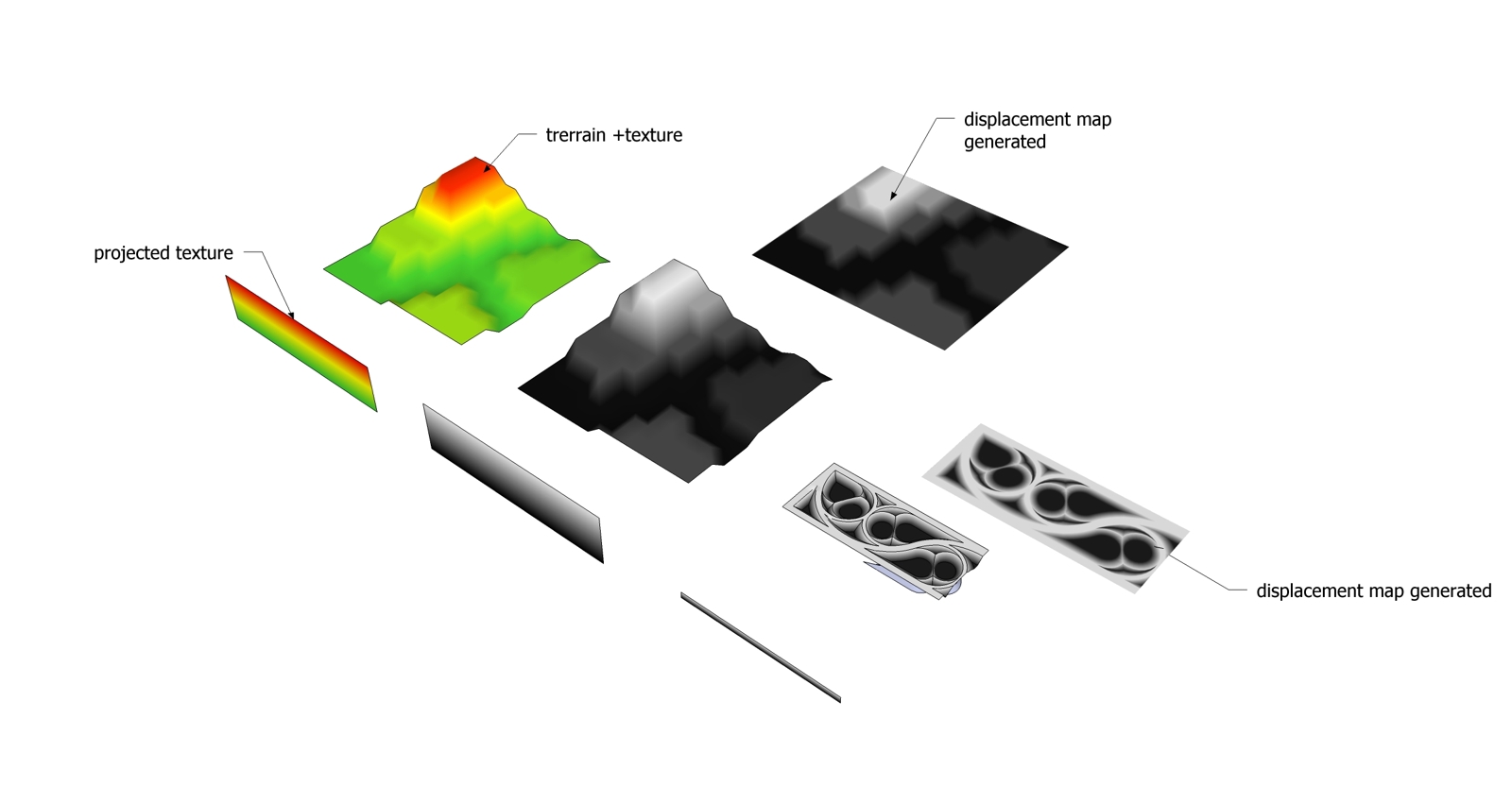
I have been able to produce 'height maps' of terrain studies using a projected texture.
This could basically be used on any 3d object
Method:
1.Basically you create a color/grayscale gradient image in photoshop or otherwise,
2.Import into sketchup as a texture onto a vertical plane (rectangle) that represents the extent of the terrain. The vertical extent of this rectangle is more crucial than the horizontal.
3.Once you have the texture on the rectangle, go to the edit texture context menu and click on 'projected'.
4. Then sample the projected texture off the rectangle... choose all the surfaces of the terrain and apply.
Voila!
additional tips:
A:Do not apply the sampled projected texture to a group, it will not apply properly. You need to assign the material directly to the faces.
B:When making the vertical rectangle to represent the extents of your terrain it helps to overshoot the exact size a bit both top and bottom so that you don't pick up the extreme edge of the color gradient and start of the next tile of the gradient which can sometimes render as a dark colour.
This can obviously be done with a grayscale gradient too which i imagine could be used to generate a displacement map (exported jpg from a top view) similar to what Dave R and jopsa2 have been talking about.
Also in comparison to Chris's Color by Z plugin, although this is not technically a plugin, its avoids a multitude of generated materials, instead this one uses just one... so its Vray friendly too.
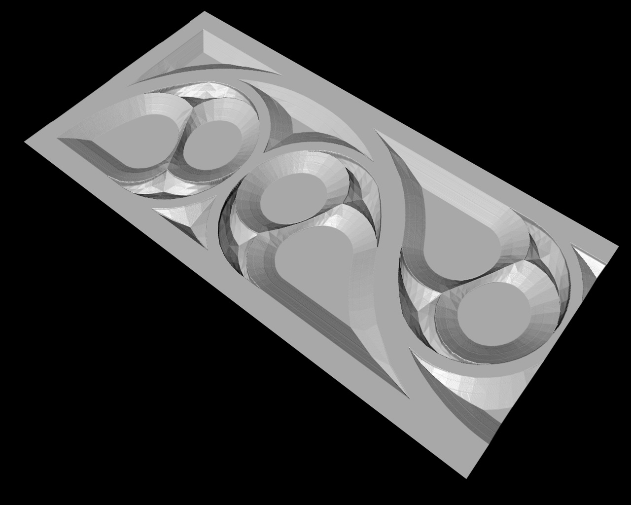
Attached is a sample image for reference.
Hope this helps.
Dave
