@valerostudio said:
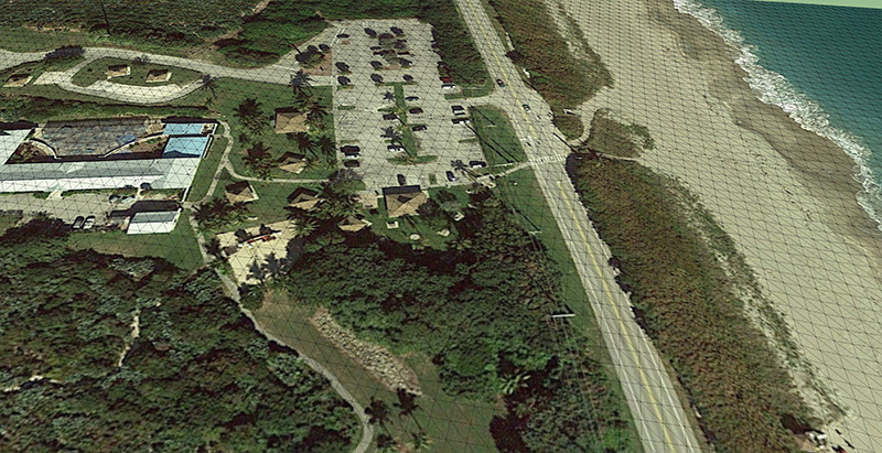
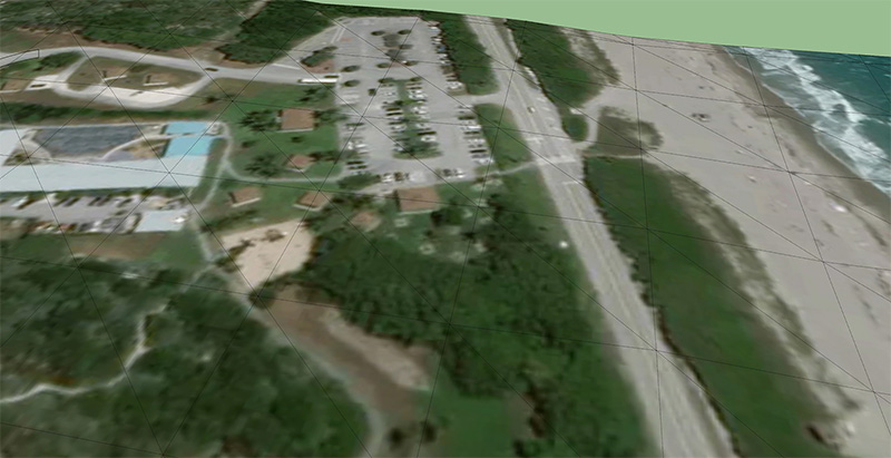
Is anyone still fuming over this? I am trying to get site information for a model and SketchUp was always the go to. Now I don't know what the heck to do. These topo models that import from DG are useless. The grid is WAY to spread out. In some cases 100-200' grid. That's ridiculous.
Yes.
I went the revit route, mentioned previously here and in other threads. It worked but it was very frustrating. It bloated my model and I had to sit through dozens of spinning wheels. For example, here is an area of a site I modeled that had just enough slope that I didn't have time to clean it up:
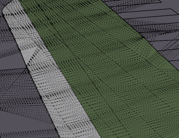
The old way would have been a piece of cake with hundreds of entities. This one, x 4 acres, was a real strain on my computer.
 )
)


 [can't find an emoticon which expresses what I feel when I read about it]


