Finding usable DEMS in this day and age
-
I know this has been discussed before, I have been using Cadmapper to get my DEMS, it works OK but getting exactly what you want is difficult, without a satellite view to go by.
I just spent the past hour or so trying to find what I want on the USGS site nothing that will work with SU2017 make.
Ideas for other sources? -
What is it you actually need and in what area? How will the data get used?
-
https://cs.heightmap.skydark.pl/
I've used this in the past because you can download RAW file that's 32bit. Even the default PNG can give good results depending on how distant you are....


[mod=:29zjzejc]Fixed my awful spelling
 [/mod:29zjzejc]
 -
@dave r said:
What is it you actually need and in what area? How will the data get used?
Out place in the Nebraska panhandle, I am doing some virtual scenes of what I want to do.
-
@rich o brien said:
https://cs.heightmap.skydark.pl/
I've used this n the past because you can download RAW file that a 32bit. Even to default PNG can give good results depending on how distant you are....
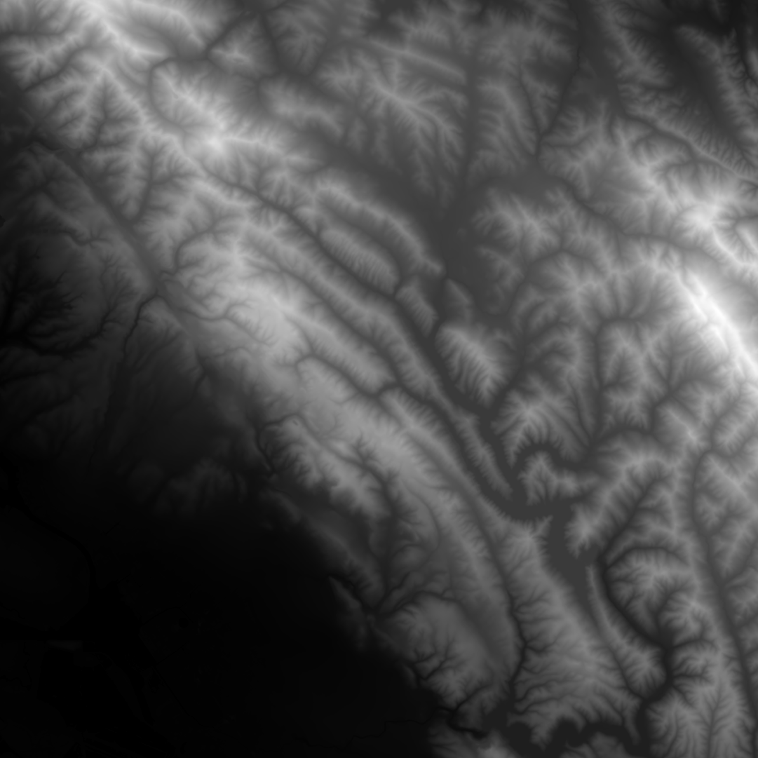
[attachment=1:2ja2j9wz]<!-- ia1 -->heightmap.png<!-- ia1 -->[/attachment:2ja2j9wz]
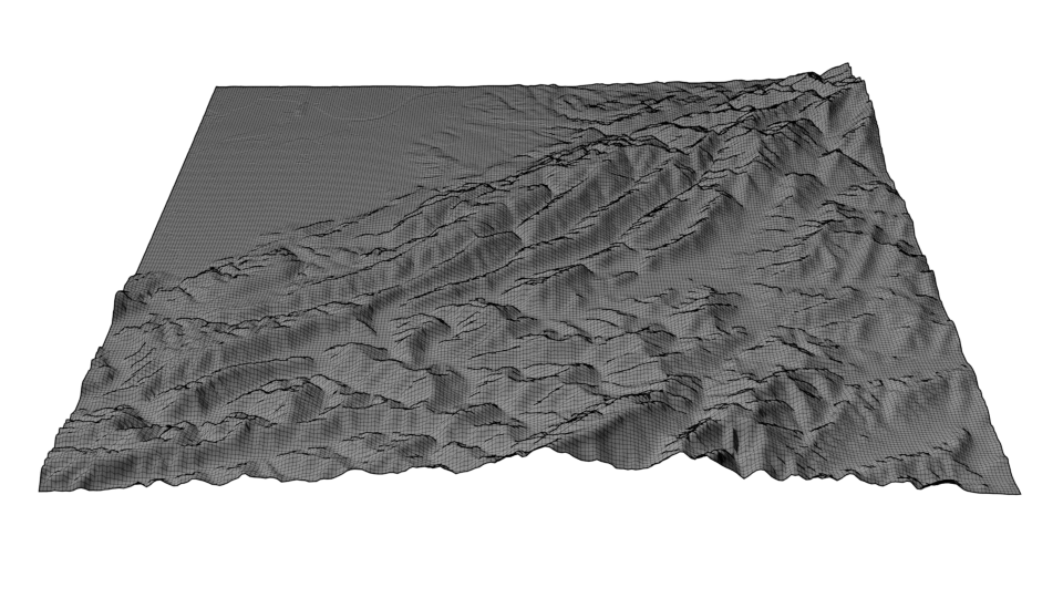
[attachment=0:2ja2j9wz]<!-- ia0 -->terrain.png<!-- ia0 -->[/attachment:2ja2j9wz]
I downloaded a png, there must be more to this?
-
The PNG has black to white values. Pure black is no height and pure white is highest point.
Displace a subdivided mesh using this PNG as the driver for the height. Your subdivided mesh should match the pixel density to the PNG to get accurate results.
Advertisement


