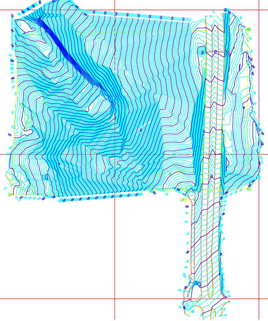
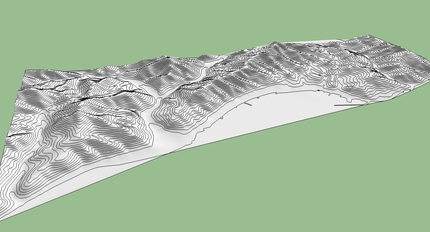
[Request] Lift Contours
-
Do you mean like in a staircase manner?
-
Yes similar to a stair but I want to use it on large site plans with imported Acad contour lines.
-
If you can force a face to be made then PushPull will already do it it remembers the last value so double-clicking the various 'planes' will set the heights. Then erase the unwanted lower contours and the faces to leave the contours - perhaps make them into curves and add a mesh with one of the many available 3rd party tools...
-
Hi TIG
Yes it's possible with push/pull but the site is complicated and will still take a lot of time - a couple of thousand double clicks!

-
As with many things - "I wouldn't start from here..."

If you have AutoCAD you can edit the DWG file and give the contour-lines their 'elevation' - moved up in Z - before importing to the SKP - that way the contours will come in correctly to start with ?
I'm surprised that the DWG file isn't 3D already ?
Do you have any point data as CSV etc - you could then import that to make the mesh without resorting to the contours at all ?
Another thought - are the contour-lines polylines [curves] in the SKP, if so you could select them one 'level' at a time and use Move, constraining in the Z/blue axis [up key], and type in the height - this could be quite quick and little different to a 3rd party plugin where you'd still need to enter info ??

-
I managed to get a lisp routine to work in Autocad. You simply cross the contours with a fence line, input the lowest contour and the interval and the job is done in seconds.
Thanks for the input TIG.By the way it is called chelev.lsp if anyone wishes to Google it.
-
wow. that sounds much better than my method.
in the past, i've taken 100s of 2d contours, double clicked each polyline, and then grouped each one. after that, i set the distance between lines on "Mover2" and just clicked the groups the number of times appropriate to raise each line...
oh yeah, not to mention, i had drawn each individual line from the terrain view of googlemaps with a wacom tablet and the pencil tool in illustrator.
probably the dumbest thing i've ever done. but i got a nice terrain model from it! ha.
oh yeah, and we didn't even end up using the terrain model for the final product.

-
@andre51 said:
I managed to get a lisp routine to work in Autocad. You simply cross the contours with a fence line, input the lowest contour and the interval and the job is done in seconds.
Thanks for the input TIG.By the way it is called chelev.lsp if anyone wishes to Google it.
Sounds like a nice ruby plugin...

-
@thomthom said:
@andre51 said:
I managed to get a lisp routine to work in Autocad. You simply cross the contours with a fence line, input the lowest contour and the interval and the job is done in seconds.
Thanks for the input TIG.By the way it is called chelev.lsp if anyone wishes to Google it.
Sounds like a nice ruby plugin...

YES!
-
@thomthom said:
@andre51 said:
I managed to get a lisp routine to work in Autocad. You simply cross the contours with a fence line, input the lowest contour and the interval and the job is done in seconds.
Thanks for the input TIG.By the way it is called chelev.lsp if anyone wishes to Google it.
Sounds like a nice ruby plugin...

That would be a wery nice plugin.

Advertisement


