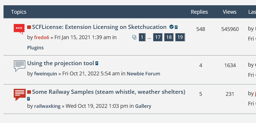
Using the projection tool
-
Good afternoon everyone !
I just bought a barn on a big land and I will plant a hedge next month on the land limits. I got the .dwg file from the surveyor and I imported it in Sketchup to be able to place my trees on the actual dimensions of the land.
But when I opened the file, all the features are at different heights (z coordinates) that do not make any sense (he told me to only trust the x and y coordinates anyway).
When looking at the top view in parallel projection (instead of perpective), the blueprint looks just fine.
I tried to project all the features on a XY plane/surface I created with the projection tool from the sandbox bar but only some of the features are actually projected and not all of them (maybe there is a limit ?). I cannot figure out why.
I can also share the file if it helps.Thanks a lot and enjoy your weekend !
François
-
Without any images to help describe your issue I can only guesstimate...
If you select everything that .dwg file has and scale it on only the Z you'll flatten it all to the same plane.
-
I used flatten.lsp to flatten topography in Autocad. Topography is often drawn to scale so while plan elements might be at elevation 0.00 you'll have topo lines something like 5,000 feet above that.
Try using Eneroth Flatten to Plan which you can get here. I just tested it in Sketchup and it works nicely. You'll have to move whatever you've flattened to Z=0. Make a group of what you want to flatten before flattening.
-
Better with the file then.
When you say scale it on, you mean with what tool ? Sorry but I am really a beginner !
-
Here it is after using Eneroth Flatten to Plan which took less than a second.
-
How are these view counts possible? I deleted my cookies and it's still showing up like this. Probably just a glitch.

-
That is weird...
I've know idea why to be honest.
Advertisement


