Try http://www.ikeafans.com/blog/3d-ikea-furniture-autocad-google-sketchup/.
Hope that helps.
Oops, your profile's looking a bit empty! To help us tailor your experience, please fill in key details like your SketchUp version, skill level, operating system, and more. Update and save your info on your profile page today!
Check out Febhouse | New extensions for Shadow Analysis in SketchUp Download
Posts
-
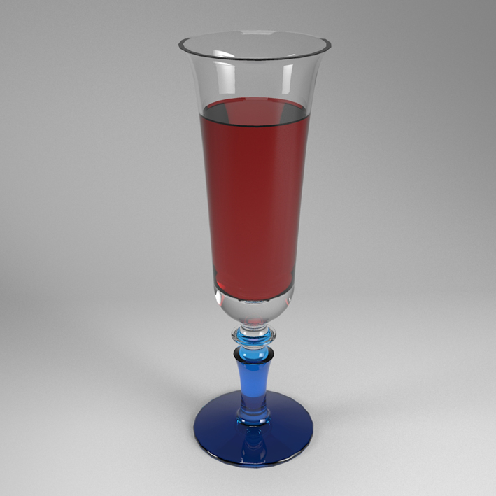
RE: Glass Challenge (all render engines)
This is my try with Kerkythea. I'm totally new to rendering. It's a young Barbera del Monferrato...
-
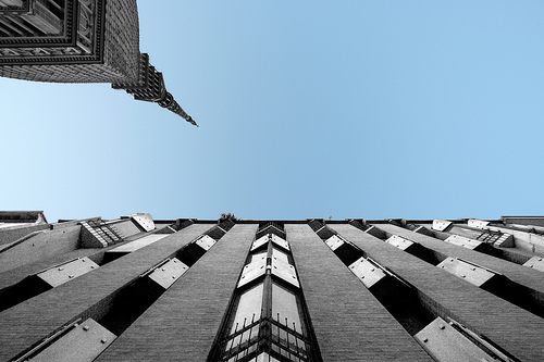
RE: Recent work ::: vray
Nice renderings and nice building. A little technical note: you can't put the corrugated iron of the roof like that without a secondary structure

-
RE: [Plugin][$] FredoScale - v3.6a - 01 Apr 24
Fredo, some problems with this new version. Draw a rectangle, pushpull it then stretch. Use the bend tool. It doesn't works properly anymore.
-
RE: Chamfer Edges.
Have you tried the "Chamfer along path" plugin?
http://www.crai.archi.fr/RubyLibraryDepot/Ruby/em_geo_page.htm
-
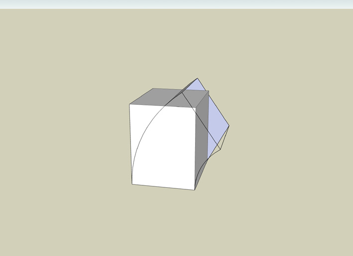
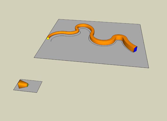
RE: [Plugin] Shape Bender Beta
Many thanks for the plugin, Chris.
It can make this...
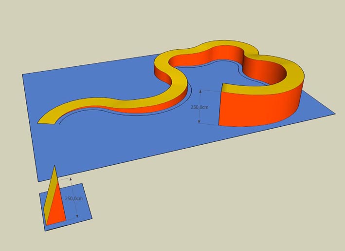
or this!!
-
RE: A Puzzle for the Architect Types
La Chiesa di S. Giovanni Battista a Firenze di Giovanni Michelucci.
-
RE: A Puzzle for the Architect Types
Sorry, but how can i post an image? I'm pretty new to this forum.
-
RE: A Puzzle for the Architect Types
Mario Botta. Cathedral of the Resurrection, Evry , France
1988-1995 -
RE: [Plugin][$] FredoScale - v3.6a - 01 Apr 24
True Fredo. But the very strange thing is that i did not notice the flickering (in "b" version i mean) until i went back from "c" to "b" version.
-
RE: [Plugin][$] FredoScale - v3.6a - 01 Apr 24
Fredo, i have upgraded your amazing free scale tool. I have noticed a strange behaviour. When you use, for example, the scale tool the model has a sort of instantaneous jump and then return to his proper size. Is that normal? Thanks.
-
RE: [Plugin][$] FredoScale - v3.6a - 01 Apr 24
Thanks Fredo for this great plugin!
-
RE: [Plugin] Three Line Tools (Updated March 9th, 2009)
Exactly that, Chris. I had in mind something like “vertical lines by relative elevation” from a new 0,0 plane. I know that I can make a line by typing the length or by using “line by hight”, but if you have many lines to draw, all with different length, but with the same elevation from a new 0,0 plane that would be useful.
Massimo -
RE: [Plugin] Three Line Tools (Updated March 9th, 2009)
I meant that when I click on a surface that is, for example, at + 100 cm over the 0,0 original plane, and i type 200 cm for that line, the line will be long 100cm and not 200 cm, because the reference is the original plan and not the surface that I clicked on.
Massimo