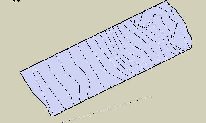
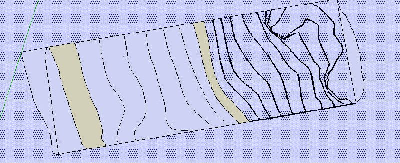
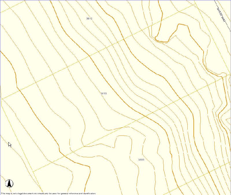
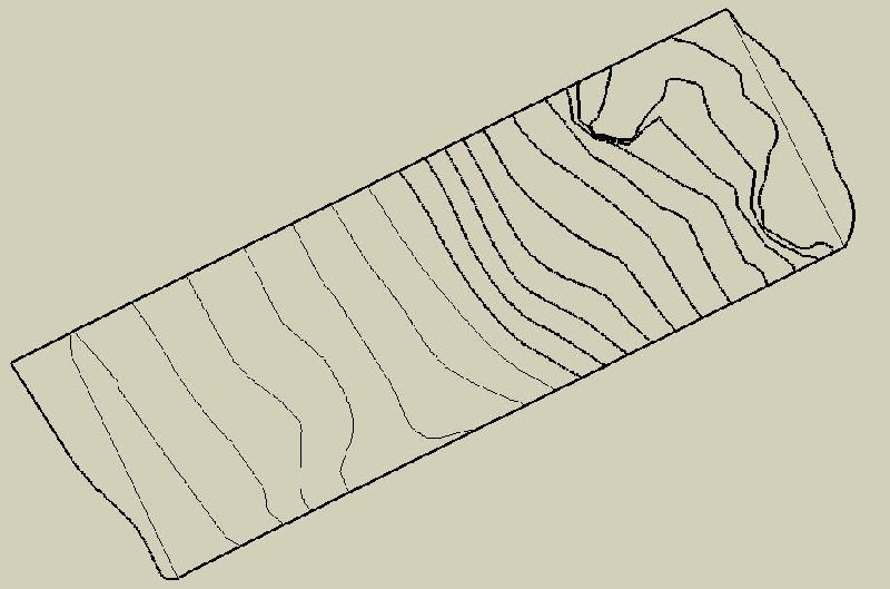
Ok looks like I finally got it where I wanted. It took a number of tries deleting the connection points and reconnecting the lines. There has to be an easier way to create lines based on an image.. so any pointers for my next attempt would be appreciated.
Some additional questions:
-
If I was drawing on the face of an image to begin with, how did I end up with variations along the blue axis? Would it have been necessary to hold down the shift key the entire time I was drawing (or something similar)?
-
Now that I have my lines. I am going to adjust the height of each one. Should I:
A) make it so my house is at 0' and the lines go +/- 10 ft from there.
B) start the lowest line at 0' and go up from there
C) start the highest line at 0' and do down from there
D) use actual ft above sea level
E) other? -
Is there a standard way of marking of the property lines? ie- If I extended my contour lines to including neighboring properties, how would I depict my boundries in the 3D drawings?


