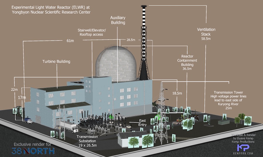
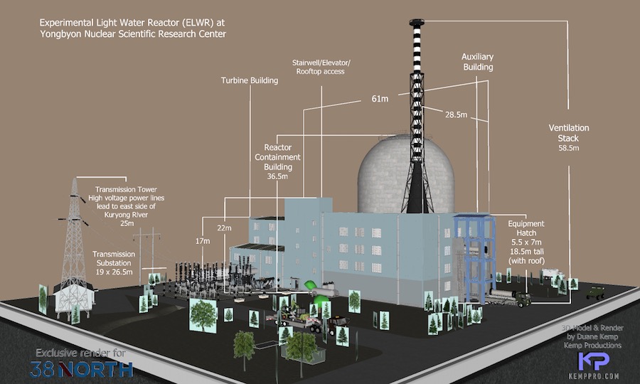
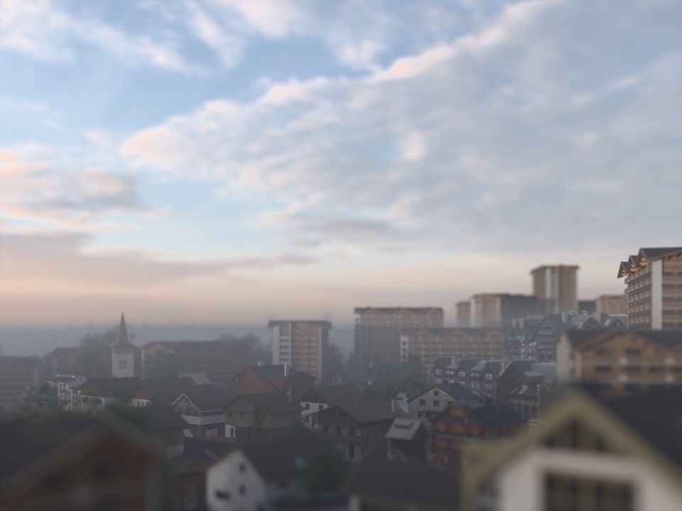
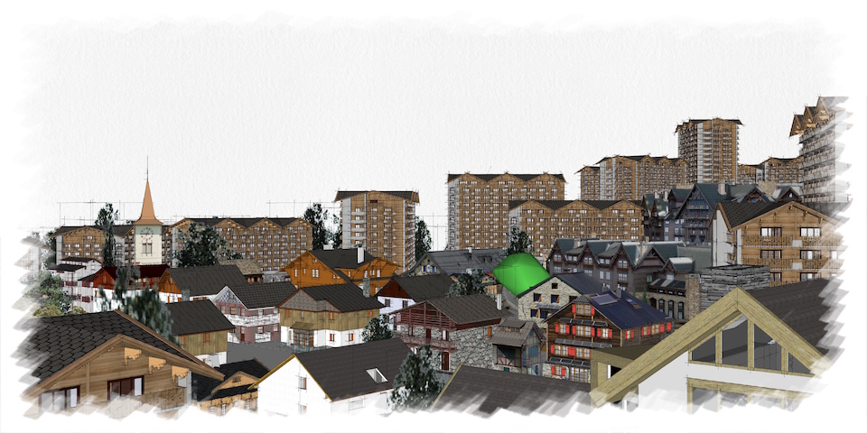
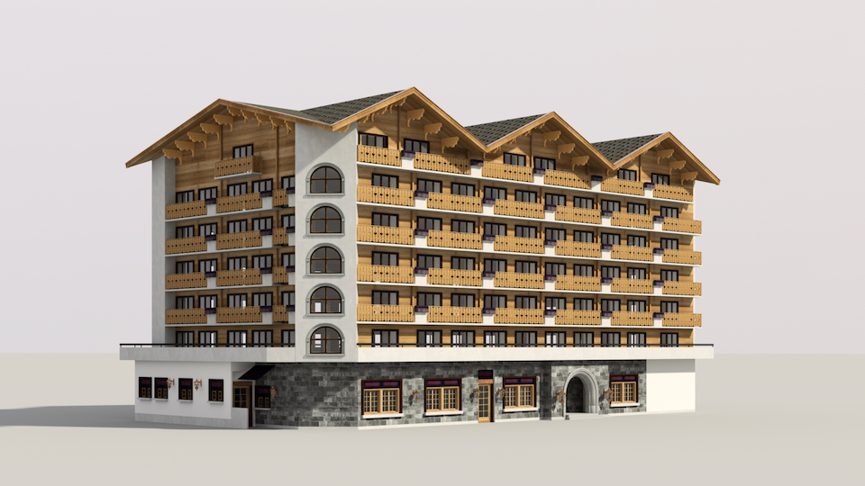
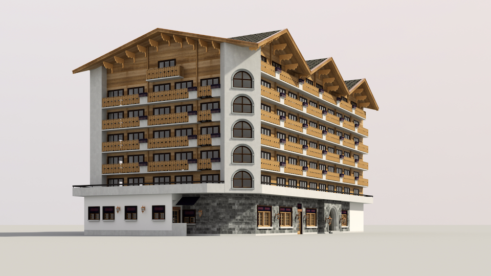
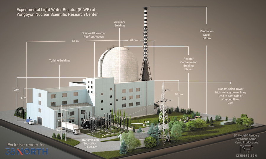
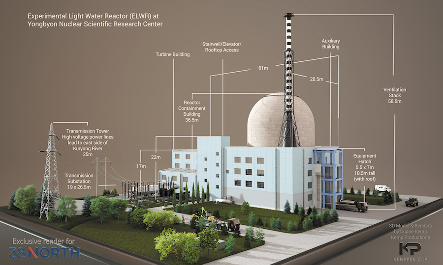
A non-proliferation reconstruction project of the Yongbyon Nuclear Scientific Research Center: Experimental Light Water Reactor. Two exclusive renders for 38 North's website presentation: https://www.38north.org/resources/2021/04/photo-galleries/yongbyon-experimental-light-water-reactor-render/
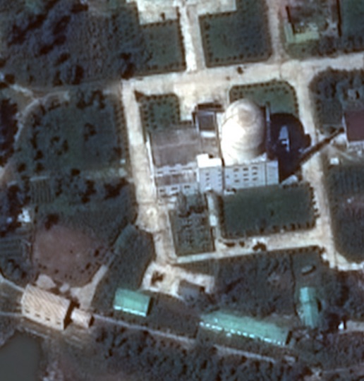
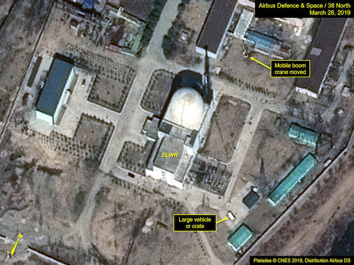
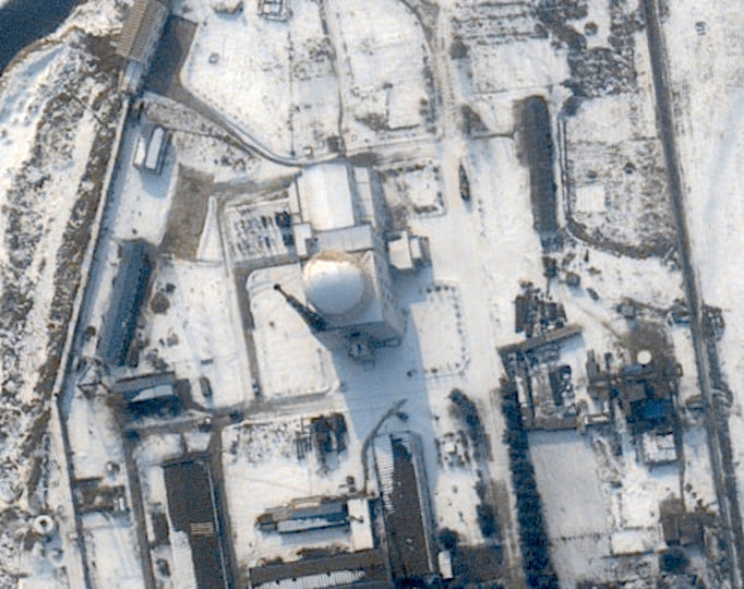
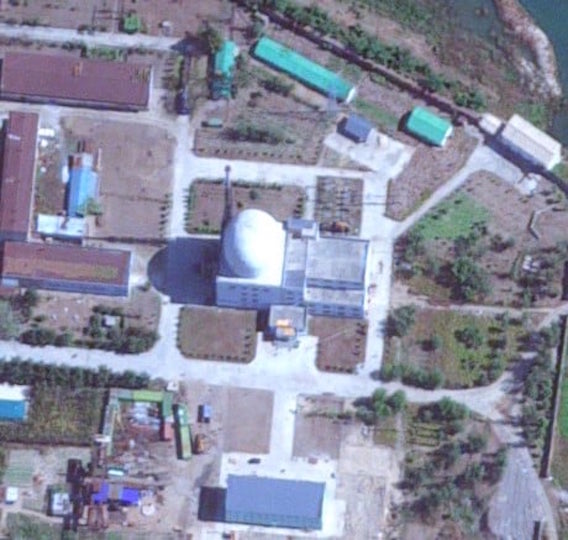
The only photos available of this structure are taken from 50k to 70k feet elevation. Though the Airbus drones are capable of the 70k ft imagery, I suspect that the 50-60k elevations are more likely. Since the location is well within the North Korean territory, all images are taken from angles that permit the photos but, from outside of the DPRK border.
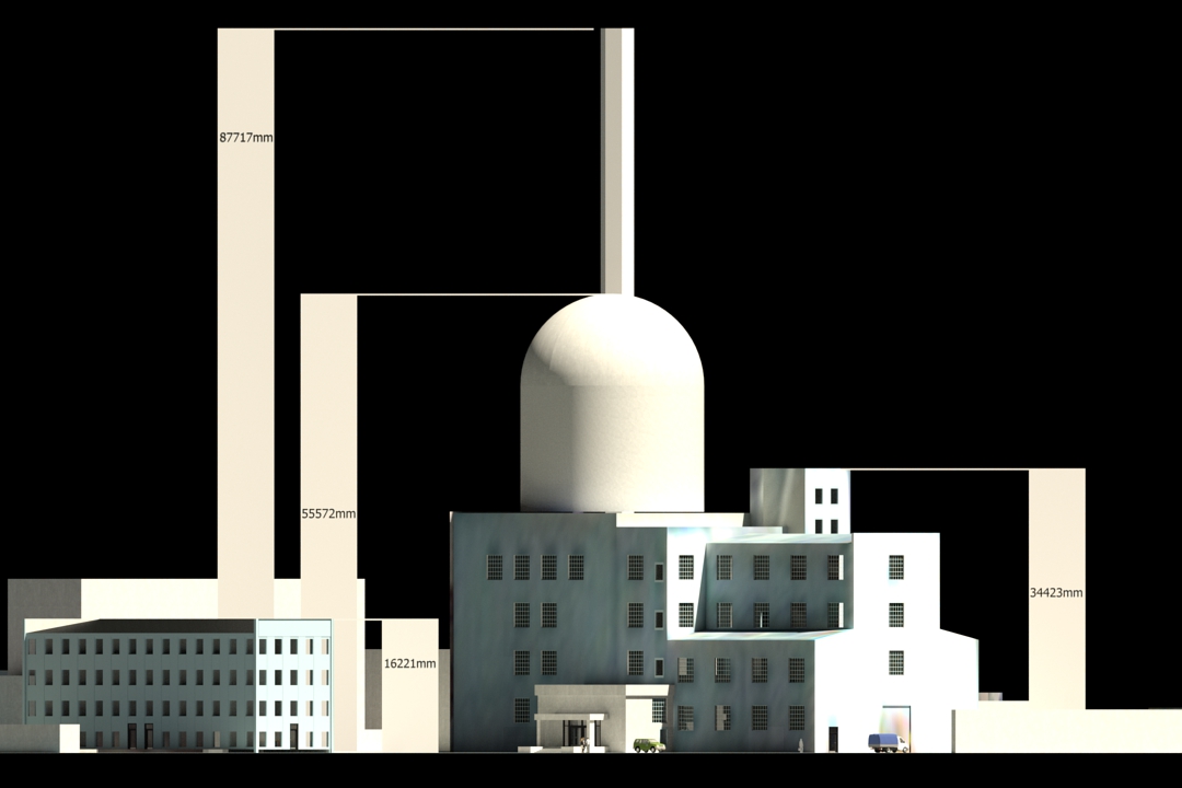
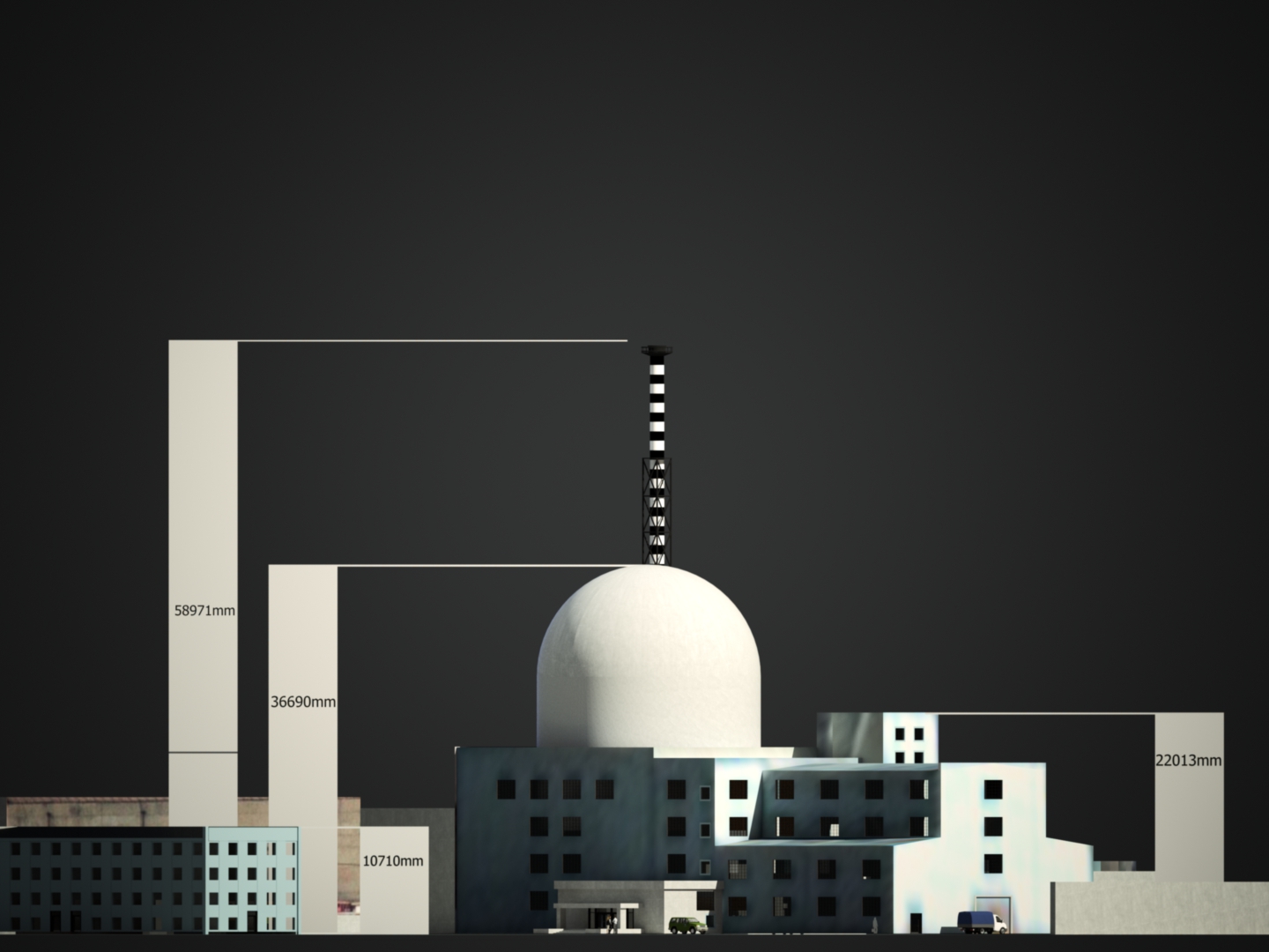
As well, it appears as though the imagery is treated so that the assets align with actual ground map geographical/topographical points and land marks, such as roads and rivers. This feature, though super for point to point distance calculations and precision, is useful, but vertical heights are skewed and buildings are stretched. Their footprint on the map is good... but, features are distorted and makes vertical estimations challenging. This was a difficulty as the building, after a certain certitude of precision in reference to the photos, needed to be rescaled in the vertical. For this, another known structure (with older horizontal view available) needed to be reconstructed, then compared to the areal imagery, scaled upward to fit the airbus shots for one "confirmable" reference for downscaling the reactor. The second references to confirm height were the shadow lengths from the timestamp and dates of the images. Between several confirmations between these two methods, a reliable vertical height was established.
Keeping this in mind, the project is reconstructed from these blurry, Airbus satellite imagery resources which took myriads of perspectives, sun conditions and seasons to determine actual shapes of smaller assets and to establish actual height from shadows on the ground. Fun work with considerable input and resources from consultants Olli Heinonen and Frank Pabian who assisted in this reconstruction being as detailed as it turned out.
These non-proliferation experts/specialists became enthusiastic during the progressive build and dug deeper for more visual resources to help make it as accurately detailed as possible (with what is known or available). I estimated originally a 1 to 1.5 months for the reconstruction. However, with the collaboration of expert consultants, it took four months until nothing was left to alter, edit or add to without further (much more detailed and closer) reference images. We knew we nailed it when both nuclear expert specialists were excited by the final version.
At this point, without the DPRK releasing photos from the ground or much closer, the current build is the most accurate reconstruction/presentation of this nuclear facility.
From this model, two renders were made exclusive to the think tank "38 North", a project under the East Asia Program at the Henry L. Stimson Center.
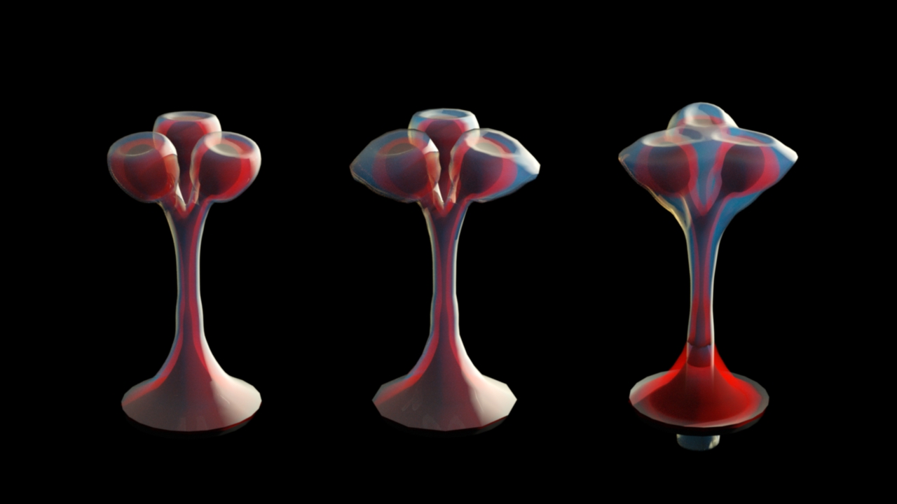
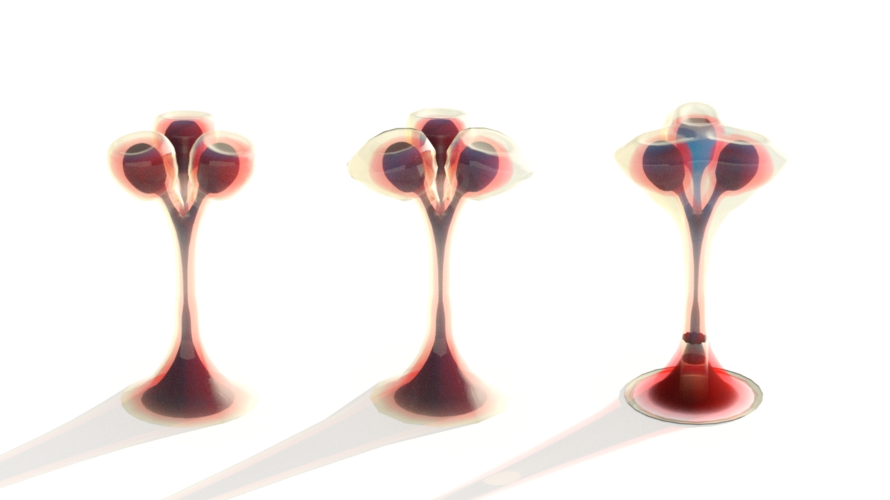
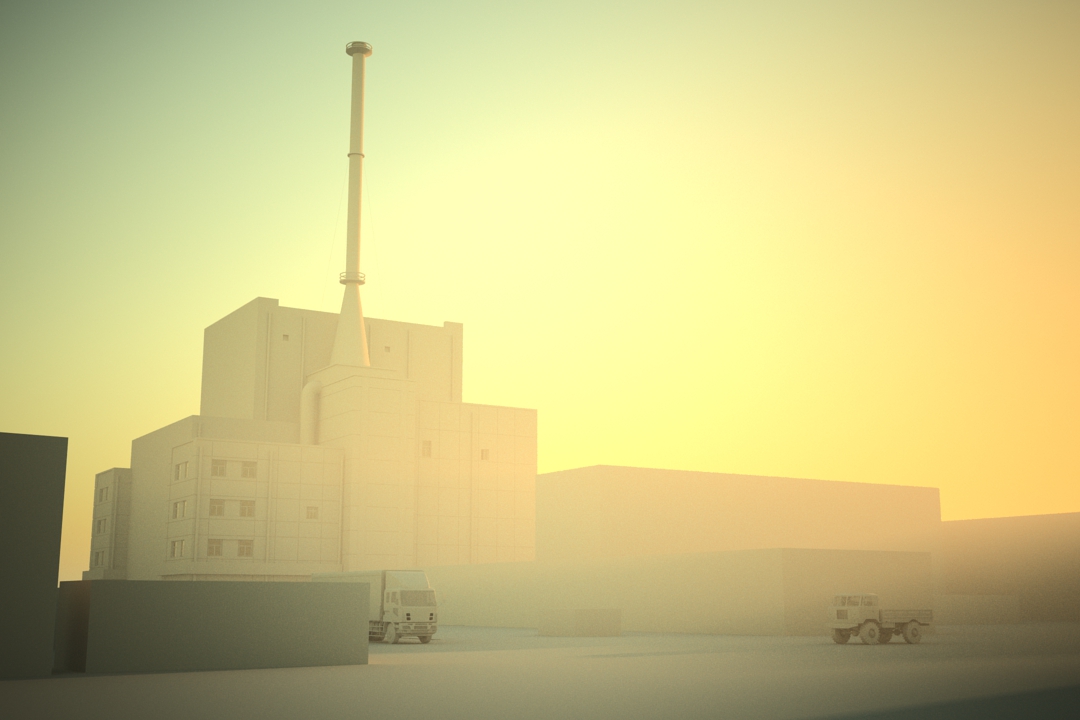
The project is huge and at some date, I should be able to share other views and perspectives of the larger model. But, as these have been published, some may find the project interesting at this stage.
Also included are four Airbus images (excerpts from larger areal photos) as examples of reference photos available, from which the model was reconstructed.