Anyone know how to find and import high rez terrain data?
-
Hey guys,
I'm trying to recreate the Alamo circa 1836 and would really like to find high resolution terrain data for the city of San Antonio (current day is fine). Textures are not important.
The existing SU Pro Geo-Location feature has pretty crappy resolution and I really need better.
I've viewed some older tutes out there and frankly I'm pretty lost in how to go about this. Any links or threads which can help would be greatly appreciated!
-
This website has most of the data worldwide: https://earthexplorer.usgs.gov/
1- Sign-up needed for downloading data, so it's better to log-in from the beginning.
2- Search for your location.
3- Choose "ASTER GLOBAL DEM" or "SRTM 1 Arc-Second Global" as your data. (Not sure which one is better but i think SRTM is newer)
4- If there are more than 1 option to choose, download GeoTIFF format (then convert it to USGS ASCII DEM file format that SketchUp reads natively with below software called 3DEM).
5- Import DEM file to SketchUp (don't forget to click options and increase points number for higher detail)You can clean the mesh with CleanUp³ extension.
Also i highly recommend to download 3DEM software. It reads/converts/saves different types of height data and let's you crop those data maps (When data is so huge, SketchUp crashes).
-
Another method is to use https://terrain.party/
It can grab an 8km x 8km height map you can pipe into Blender...
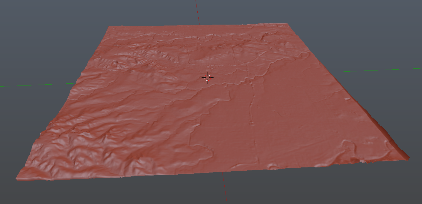
If you use it as displacement you can then dictate the resolution of the terrain using a subdivision surface modifier.
Obviously, the height doesn't reflect the real world height. But if you import the same area into SketchUp using Add Location you can then scale the Blender terrain along the Z axis to get a close approximation.
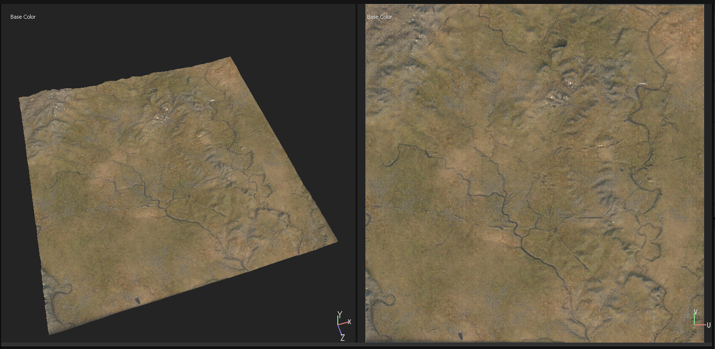
You could then use either Substance Designer or Painter to procedurally paint the terrain...
-
Thanks guys for your help! Much appreciated. I'll report back on my eventual workflow...
Hello! It looks like you're interested in this conversation, but you don't have an account yet.
Getting fed up of having to scroll through the same posts each visit? When you register for an account, you'll always come back to exactly where you were before, and choose to be notified of new replies (either via email, or push notification). You'll also be able to save bookmarks and upvote posts to show your appreciation to other community members.
With your input, this post could be even better 💗
Register Login


Advertisement