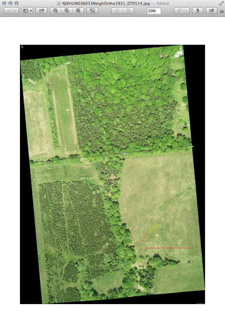
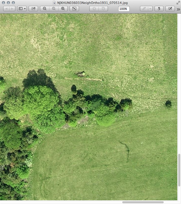
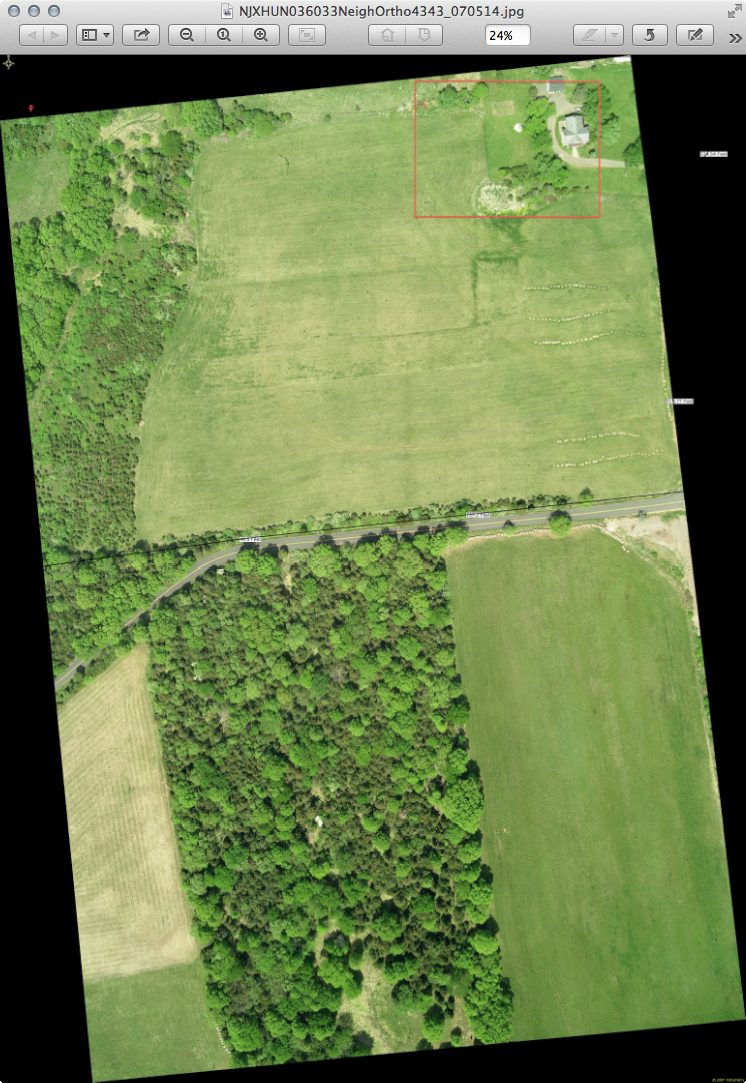
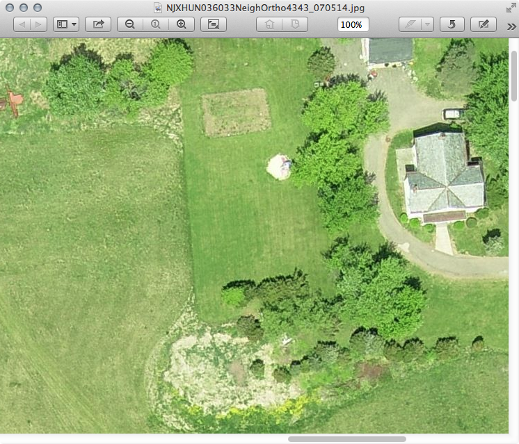
Large terrain photo help
-
I input the location you gave into GE. It was interesting to note that a street address label appears a couple of hundred feet west of the apparent location, right at the edge of a grove. Did you see that, or do I need to adjust something? Also, the resolution of that area seems less than you may desire.
What about USGS data? -
I have the terrain, I got the USGA info and used civil3D to generate the terrain as needed but do not have a good aerial photo to overlay, however I found Bing maps a better quality and will stitch a map from them....tsk,tsk Google! Bing has better maps.
-
Yeah, but you can't measure anything- even for approximations- or I haven't found a way.
-
If you want to stitch together some ~4000x3000 images from 2007 pm me with email address and area you want and I'll send via a Transfer Big Files link.
jpeg's about 3-4 MB
png's about 15-20 MB
tiff's wanna be about 38MB but my connection times out before finishingA couple reduced images
Those property lines are deletable and a dimensioned line can be added to images to resize in SU if needed.


-
@solo said:
...tsk,tsk Google! Bing has better maps.
Not everywhere. In my place,
Bing map really suckswhile Google is bearably average.Edit: it does not even suck that much. They must have updated it.

Advertisement


