sketchucation logo sketchucation
    • Login
    ℹ️ Licensed Extensions | FredoBatch, ElevationProfile, FredoSketch, LayOps, MatSim and Pic2Shape will require license from Sept 1st More Info

    Large terrain photo help

    Scheduled Pinned Locked Moved SketchUp Discussions
    sketchup
    25 Posts 9 Posters 2.0k Views 9 Watching
    Loading More Posts
    • Oldest to Newest
    • Newest to Oldest
    • Most Votes
    Reply
    • Reply as topic
    Log in to reply
    This topic has been deleted. Only users with topic management privileges can see it.
    • AureusA Offline
      Aureus
      last edited by

      @solo said:

      Ah, thanks guys I'll give it a go.

      One problem is the road names show up.

      In my case, they disappear once the view is grabbed.

      1 Reply Last reply Reply Quote 0
      • soloS Offline
        solo
        last edited by

        You are right, I edited my post

        http://www.solos-art.com

        If you see a toilet in your dreams do not use it.

        1 Reply Last reply Reply Quote 0
        • soloS Offline
          solo
          last edited by

          Every image gets a watermak so the whole terrain gets coved in Google watermarks.

          http://www.solos-art.com

          If you see a toilet in your dreams do not use it.

          1 Reply Last reply Reply Quote 0
          • pilouP Offline
            pilou
            last edited by

            Some advices by DareDevil 😄 in French but...
            http://sketchucation.com/forums/viewtopic.php?f=51&t=41070&p=363944

            Frenchy Pilou
            Is beautiful that please without concept!
            My Little site :)

            1 Reply Last reply Reply Quote 0
            • AureusA Offline
              Aureus
              last edited by

              @solo said:

              Every image gets a watermak so the whole terrain gets coved in Google watermarks.

              Not only that but you also end up with a silly outline. If you need to crop it so that you get a normal rectangular outline you can try with exploding images and drawing a rectangle over their flat surfaces. Then you have to delete unwanted area. Or if you deal with 3-d images you need to employ intersecting method with an adequate cube.

              I'm afraid watermarks are unavoidable in any case. That's Google Earth's policy: on every image you download you get some stuff so that everybody knows it's from Google Earth.

              Obviously, this can be edited in some editing software outside Sketchup.

              1 Reply Last reply Reply Quote 0
              • daleD Offline
                dale
                last edited by

                There is some other satellite imagery out there, and depending on where you are sometimes it's better than Google Earth. Maybe give Flash Earth a try. http://www.flashearth.com/ I don't remember them watermarking either.

                Just monkeying around....like Monsanto

                1 Reply Last reply Reply Quote 0
                • Chris FullmerC Offline
                  Chris Fullmer
                  last edited by

                  There are plenty of sites that offer non-watermarked imagery and topo. You just have to learn how to navigate their websites and specify what area you need - not always very easy to do! Its not terribly expensive, but you might need someone with GIS experience to help you put it into a 3d model?

                  Lately you've been tan, suspicious for the winter.
                  All my Plugins I've written

                  1 Reply Last reply Reply Quote 0
                  • mitcorbM Offline
                    mitcorb
                    last edited by

                    I input the location you gave into GE. It was interesting to note that a street address label appears a couple of hundred feet west of the apparent location, right at the edge of a grove. Did you see that, or do I need to adjust something? Also, the resolution of that area seems less than you may desire.
                    What about USGS data?

                    I take the slow, deliberate approach in my aimless wandering.

                    1 Reply Last reply Reply Quote 0
                    • soloS Offline
                      solo
                      last edited by

                      I have the terrain, I got the USGA info and used civil3D to generate the terrain as needed but do not have a good aerial photo to overlay, however I found Bing maps a better quality and will stitch a map from them....tsk,tsk Google! Bing has better maps.

                      http://www.solos-art.com

                      If you see a toilet in your dreams do not use it.

                      1 Reply Last reply Reply Quote 0
                      • mitcorbM Offline
                        mitcorb
                        last edited by

                        Yeah, but you can't measure anything- even for approximations- or I haven't found a way.

                        I take the slow, deliberate approach in my aimless wandering.

                        1 Reply Last reply Reply Quote 0
                        • wind-borneW Offline
                          wind-borne
                          last edited by

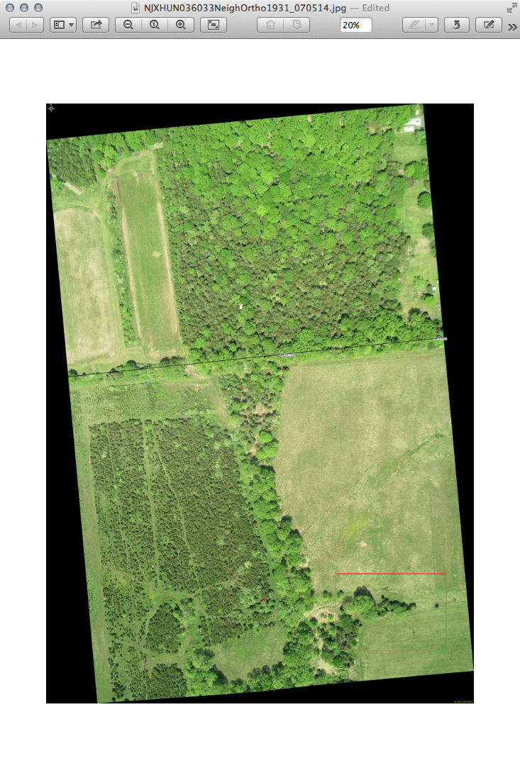
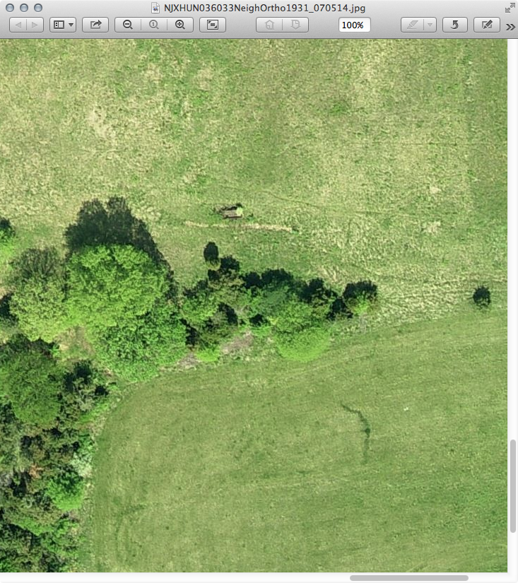
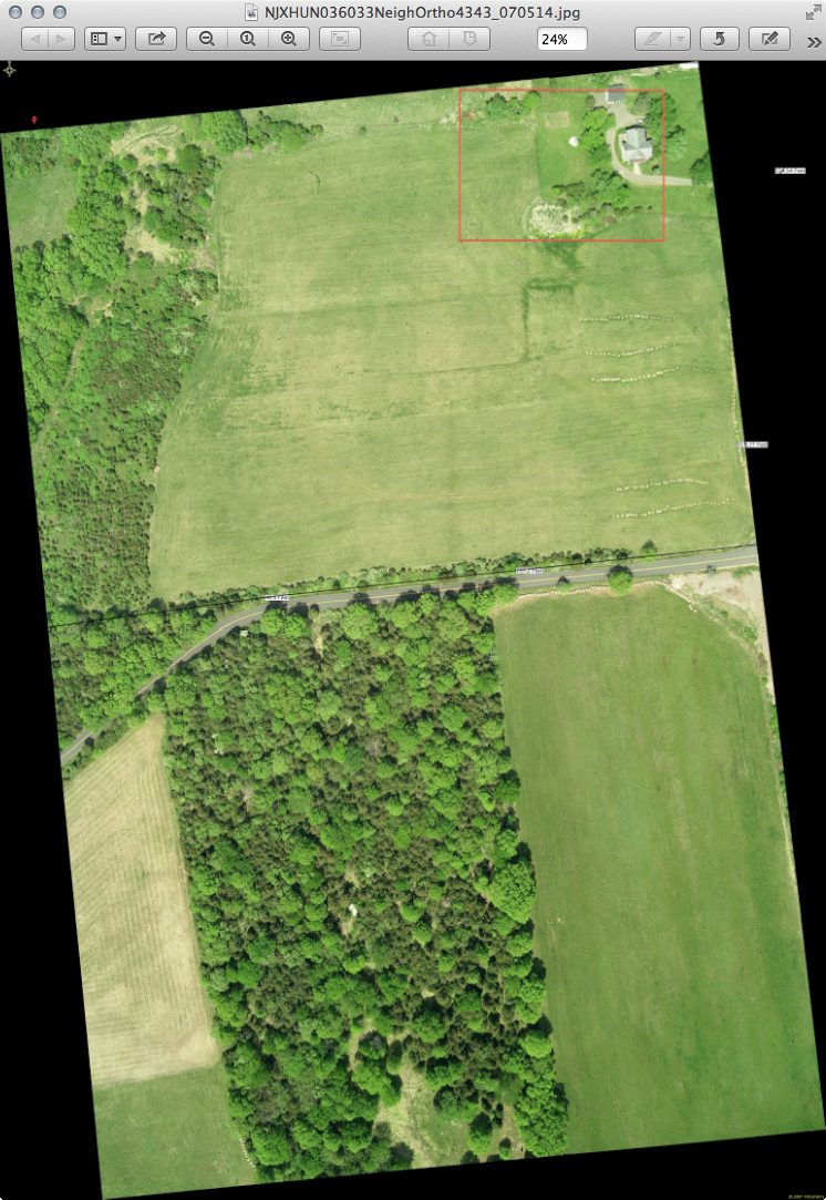
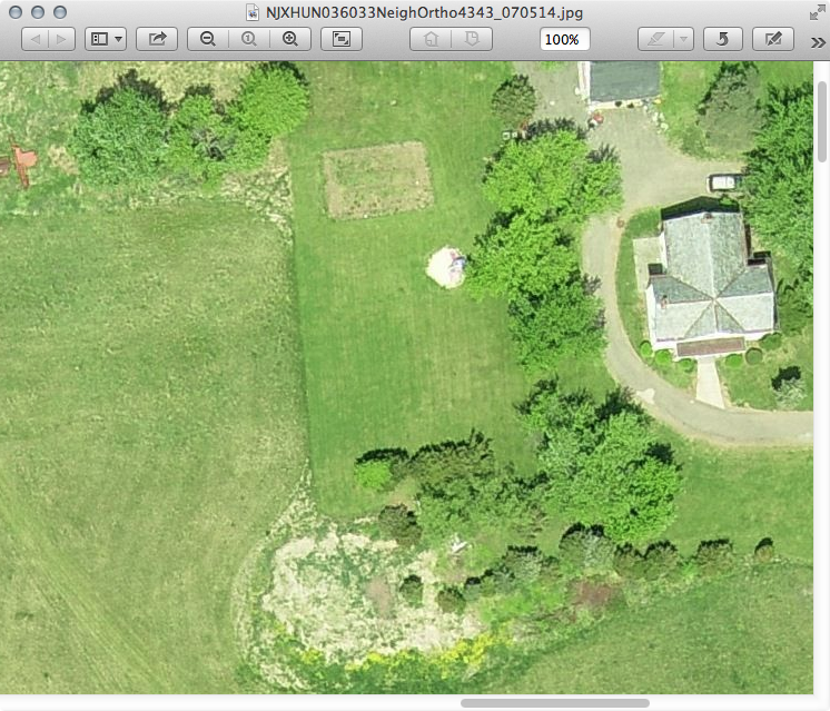
                          If you want to stitch together some ~4000x3000 images from 2007 pm me with email address and area you want and I'll send via a Transfer Big Files link.

                          jpeg's about 3-4 MB
                          png's about 15-20 MB
                          tiff's wanna be about 38MB but my connection times out before finishing

                          A couple reduced images
                          Those property lines are deletable and a dimensioned line can be added to images to resize in SU if needed.


                          Screen Shot 2013-03-08 at 4.13.27 PM.png


                          Screen Shot 2013-03-08 at 4.11.31 PM.png


                          Screen Shot 2013-03-08 at 4.22.32 PM.png


                          Screen Shot 2013-03-08 at 3.32.20 PM.png

                          "To read between the lines was easier than to follow the text."OSX 10.11.6

                          %(#BF80BF)[SU 8 pro

                          1 Reply Last reply Reply Quote 0
                          • GaieusG Offline
                            Gaieus
                            last edited by

                            @solo said:

                            ...tsk,tsk Google! Bing has better maps.

                            Not everywhere. In my place, Bing map really sucks while Google is bearably average.

                            Edit: it does not even suck that much. They must have updated it. 😄

                            Gai...

                            1 Reply Last reply Reply Quote 0
                            • 1
                            • 2
                            • 2 / 2
                            • First post
                              Last post
                            Buy SketchPlus
                            Buy SUbD
                            Buy WrapR
                            Buy eBook
                            Buy Modelur
                            Buy Vertex Tools
                            Buy SketchCuisine
                            Buy FormFonts

                            Advertisement