Google Earth terrain question
-
Wyatt,
Do you have Bonzai3d or Revit? I know how you can do it in there, but not SU. I can tell you how to go through one of those programs and then bring it back into SU if that's an option.
--evan
http://www.getmethod.com -
I don't have those programs. I have Civil 3D if there's a workaround through that. But I can't imagine that there's not a way to do this in native SketchUp, or atleast with an existing ruby. Surely the SU + GE compatibility isn't limited only to small sites.
-
Kinda similar issue...
http://forums.sketchucation.com/viewtopic.php?p=282659#p282659
-
Hi
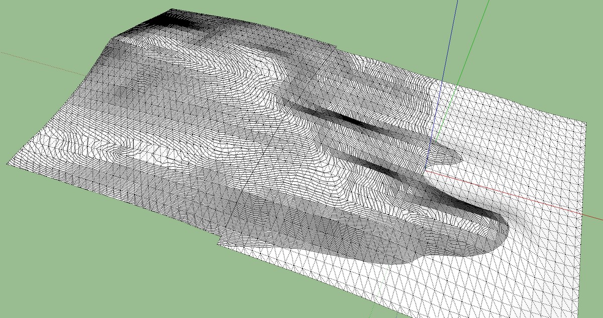
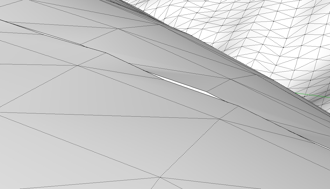
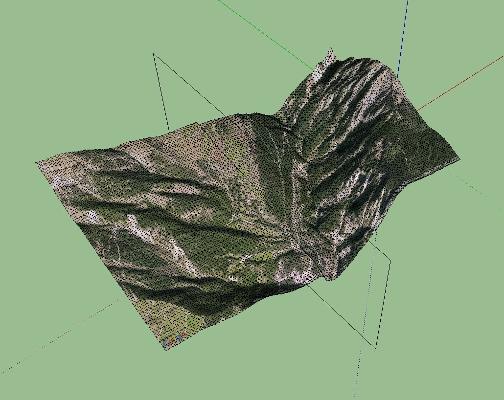
one possibility is to intersect the tiles (I ungrouped one before intersection) and erase the overlapping on one tile or both. However, I am not clear why the front part has not been provided with contour lines.
Charly
-
Hey Charly. Yes, that does work. I guess that type of manual clean-up is the best I can hope for. Regarding your contour question, do you have the latest version of Contour Maker? It's likely your terrain is below the axes. The previous versions didn't read elevations below that, but the update (v1.6) does.
-
Yes wyatt, the terrain was partly below the axis. I would like to see the add location window with grid lines so you can get the pieces fit together precisely. Maybe in the next Version.
Charly
-
Yes, grid lines would be very helpful. Thanks for the assistance with this.

-
What about Thom's cleanup plugin? Are those extra lines co-planar? Thom's plugin would remove them.
-
Chris, I did try that and it erased more than I wanted.
-
Ah yes, that does make sense.
So I just tried it myself, and It looks like what is happening is that because you are importing such a large area, SketchUp is simplifying the terrain, which makes it not match up as nicely as it would otherwise. IF you import something with less than 5,000 terrain points, SU will not simplify it, and it ends up bringing in a very clean mesh where the edges meet up pretty nicely.
But in the case of large terrains, you get overlap that does not meet up smoothly because SU has simplified the terrain. No way to change that (unless there is a registry setting somewhere??).
Terrain re-shaper didn't help? That seems like it could be just what you need to take all those terrains and turn them into a single solid mesh that would make for much nicer countours.
-
That actually makes sense. So if I broke that same area into smaller imports, and did 8 or 10 instead of 6, do you think it would work better? I'll try it tomorrow and see. I was surprised Terrain Reshaper didn't work too. It cranked forever and then gave me a distorted mesh in certain areas and messed with the GE texture. I probably could have remapped the texture, but I just now thought of that. Obviously I need to play with this some more. I'll look into what you suggested and let you know if it works.
-
Yeah, I'm not surprised the terrain texture might get messed up. I'm not sure if it really knows how to deal with it. So that could take some extra work.
As for the terrain, Google said that SU imports the exact same data that Google Earth has. So the terrain should match up perfectly - except in this case where it only exports up to 5,000 points and then simplifies the terrain, which messes up the connective edges, like you are seeing.
So importing a smaller area at a time will help, but remember it will also mean that you will have lots more geometry in your model. And there is no reliable to know just how small of an area you need to import to get below that 5,000 point limit. I had written a simple snippet of code that I've used to test how much geometry is in a terrain component, to hopefully see if it has somewhere near 5,000 vertices, I can presume that SU reached the limit and simplified it. If its under 5,000, I can presume that SU imported it at its full detailed resolution.
I never got around to really testing it to see if it is very accurate or not though. I could put it into a quick test script if you want,
Chris
-
What would happen if you added some thickness to the terrain pieces and used solid tools in 8 pro to nicely join them? Then you can delete the bottom thickness. I guess even "Outer shell" of the free version would do it (in fact, yes, that's what should be used).
-
Hi,
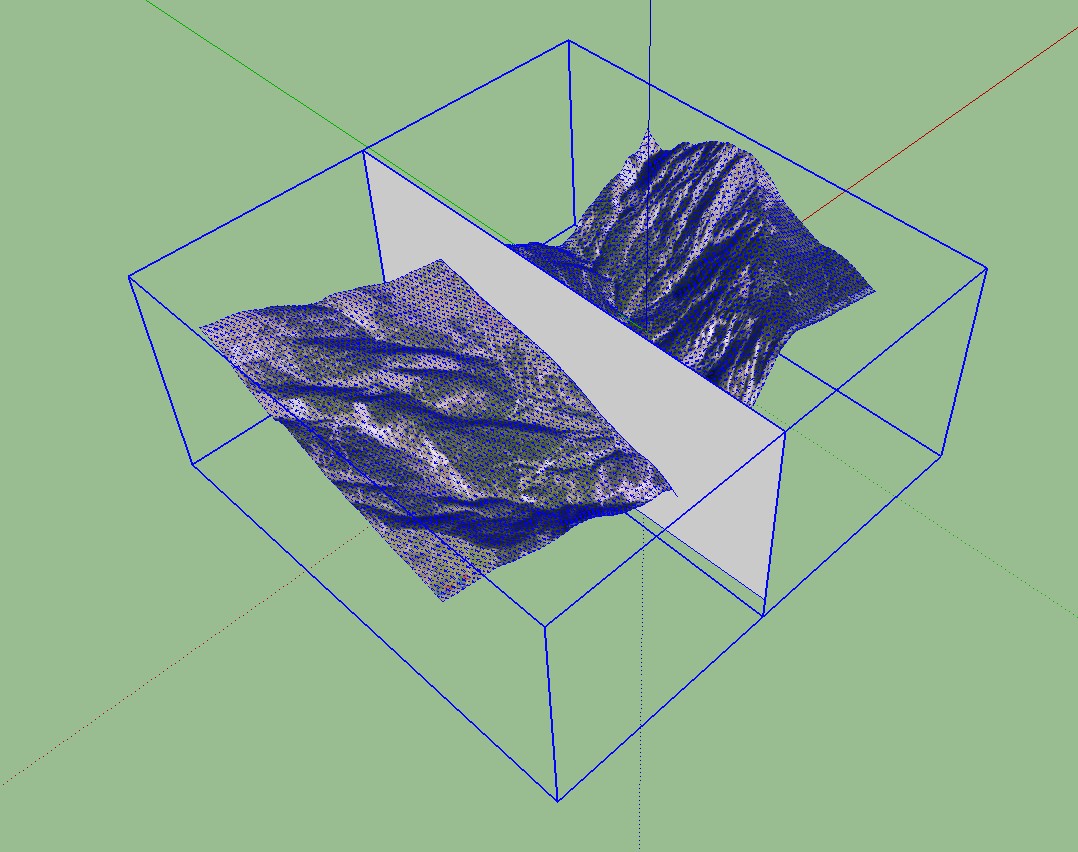
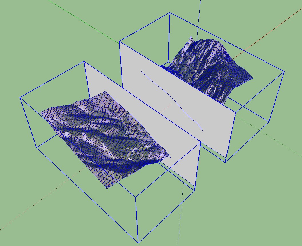
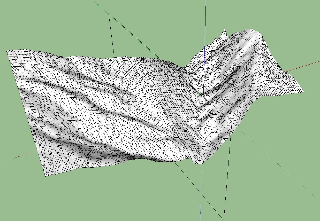
I have searched for a way to cut exactly the terrain parts. I made in each group, at the exact same position, a rectangular area and have intersected with the terrain inside. Then I removed the overlap and put together the two groups again. This seems to be the easiest way. There remain though still small irregularities, which are seen but rarely.
Charly
Advertisement


