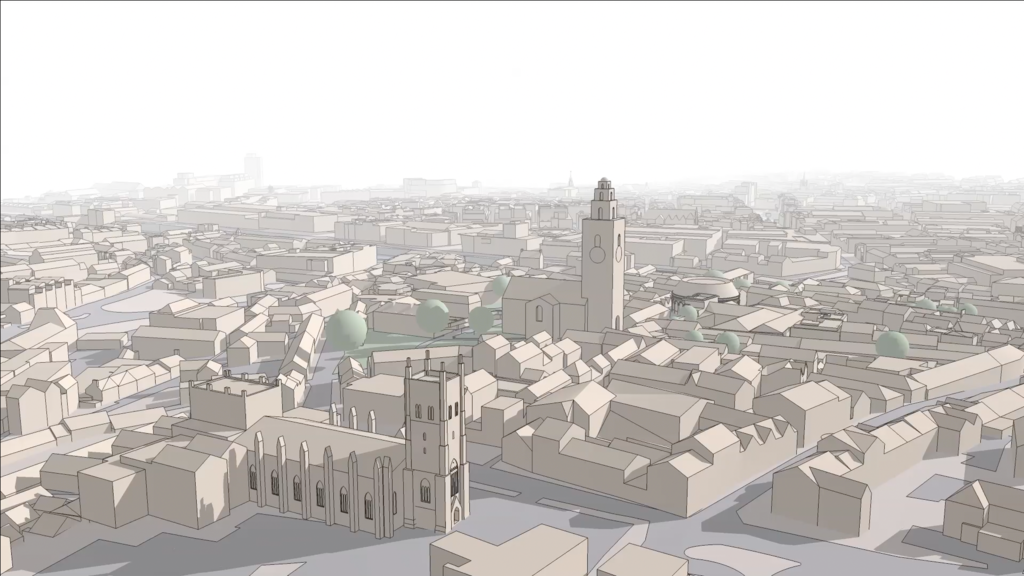
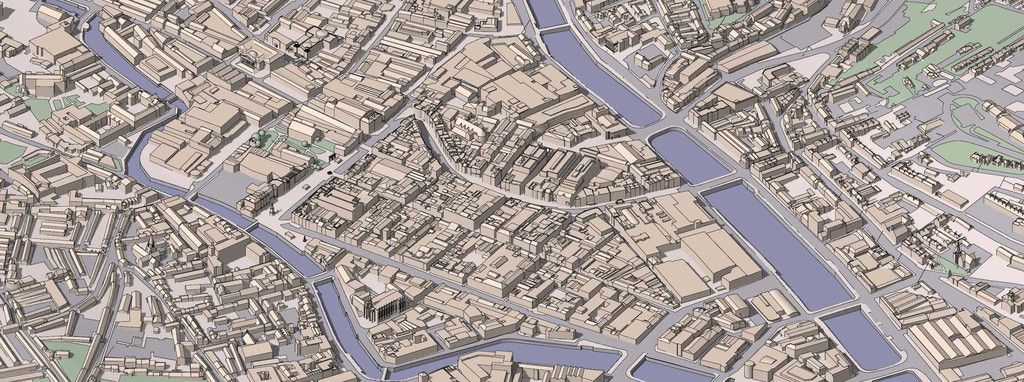
Interactive 3D City Map built in SketchUp
-
This is one of my crazy schemes to amuse myself while trying out a business idea. I love mixing new and old, architecture, history and I love my country. (One of the few peace-loving patriots left in Ireland!)
This site is dedicated to Cork City centre, the town where I grew up.


Check it out and tell me what you think!
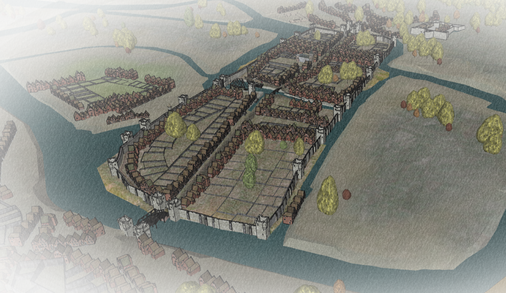
Original Walled City (1690 AD)

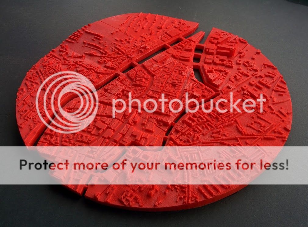
I also 3D printed it:

Full photo collection here:
https://photos.app.goo.gl/fhHAh6JWpbUhtEn77 -
Fascinating! Will check it out!
-
Very interesting concept. What software are you using to provide the map and overlays?
I like that you have drawn the city in SketchUp (I assume). The fact that I can zoom in and then click on selected buildings to launch info about the building is a very neat concept. I also liked that your web page gave me the option to click on something like Hotels and then the only things highlighted in the map was hotels. Again, a very interesting concept.
-
Very impressive, meticulous work, nicely done.
-

 what an extremely impressive, extensive and above all enchantingly beautiful work - much more beautiful than clicking on a google aerial photograph only for example !! I also like the following transfer into your interactive web application very much and it lets feel your connection to your home place - great!!!! So I wish all the success for your business idea ! - and please post on how this project is developing

PS: Aren't most of the other Irish not peace-loving people as well

forgot to ask - how big is the printed model?
-
Great work and interesting tourism concept.
Congrats! -
Impressive!
Advertisement


