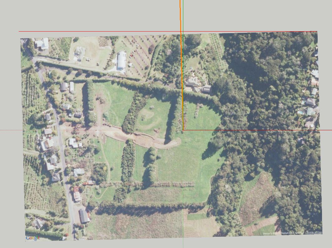
Problem with GE imagery import
-
hi,
Every time I grab an image (and terrain model) from Google earth, the image always get imported with an angle to Axis (or North). why isn't the image in-line with Axis?
a screen shot attached.
thanks in advance

-
This seems to be a known issue - 'solar north' and 'GE north' aren't always quite the same thing... don't worry it's such a small amount so as not to cause significant problems - the sunset/dawn is perhaps a minute or two late/early if 'north' is reset model-north - or just leave it alone !
It's not a 'problem'
-
@tig said:
This seems to be a known issue - 'solar north' and 'GE north' aren't always quite the same thing... don't worry it's such a small amount so as not to cause significant problems - the sunset/dawn is perhaps a minute or two late/early if 'north' is reset model-north - or just leave it alone !
It's not a 'problem'
hi, Tig
I see, thanks again
-
It's been always this way ever since I can remember.
Advertisement


