What should I change in display Dave?
See what I mean, can you tell I'm on scene 42?
What should I change in display Dave?
See what I mean, can you tell I'm on scene 42?
On my laptop, none of the tabs are highlighted enough when I'm at that tab, have to lean in real close and even then they're hard to see. Actually on my desktop they're not too easy to see either.
any fix for this??
A first for me. I open a model and start working on it, then notice all the dimensions have changed?
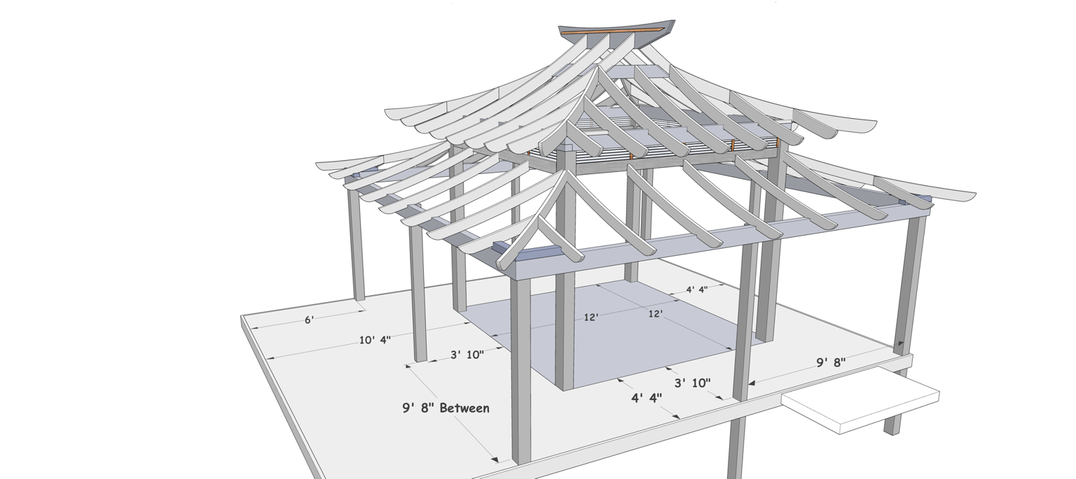
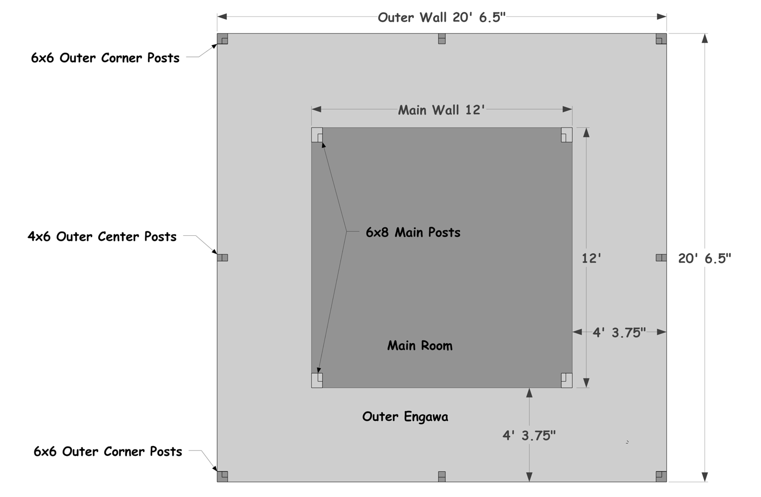
For instance the 12' wall lengths are now 9' 8". 6x6" posts are now 4 7/8".
I don't remember resizing anything in this model but is that what I did?
Darn, I asked him how he created that terrain, hoping it'd be something like LIDAR, but no!
We had a surveyor take measurements of the site for us at the beginning of the project, and then I had to manually build the site off of their survey points. Expensive and laborious, but worth it for a project of this size!
so how else could I get terrain models??
Wow Folks I've never worked with a 3d terrain like this before! How accurate is it!? Is this like a lidar scan you can import as a 3d? How would I get terrain models like this myself, minus all the structures! What a great tool, esp for a terrain like this one!
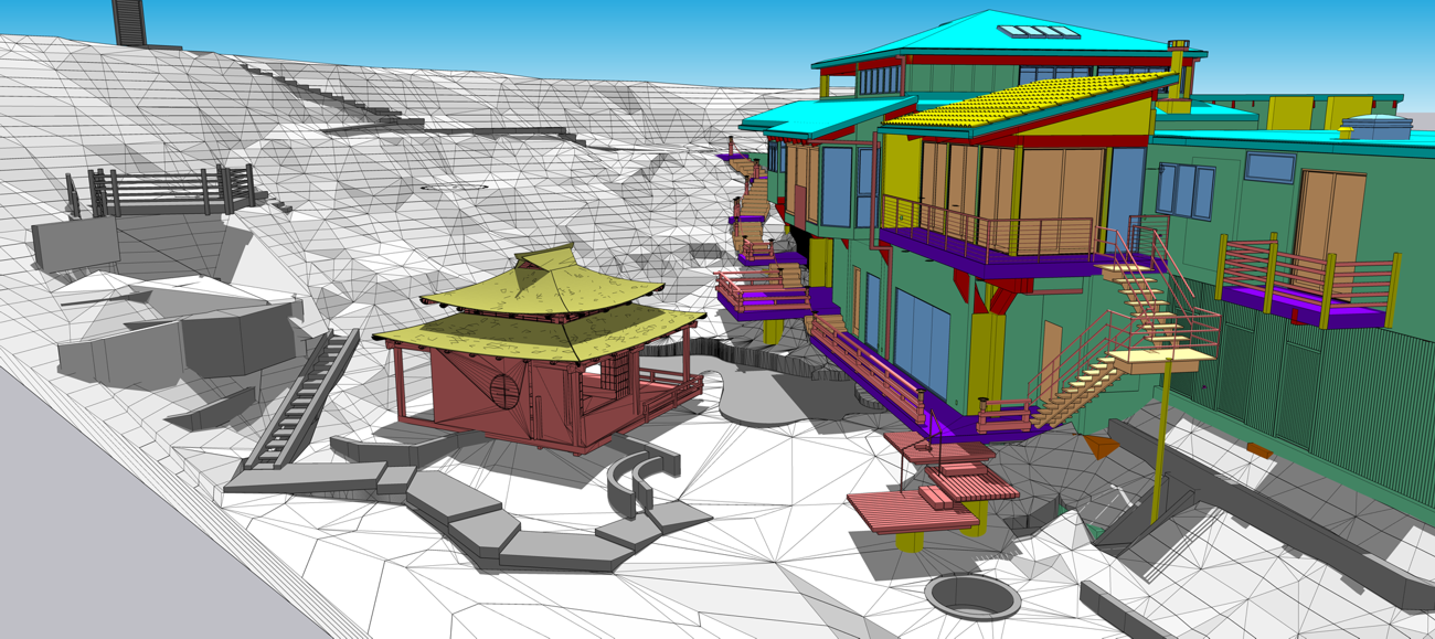
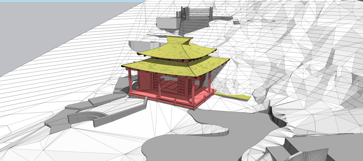
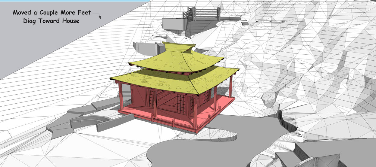
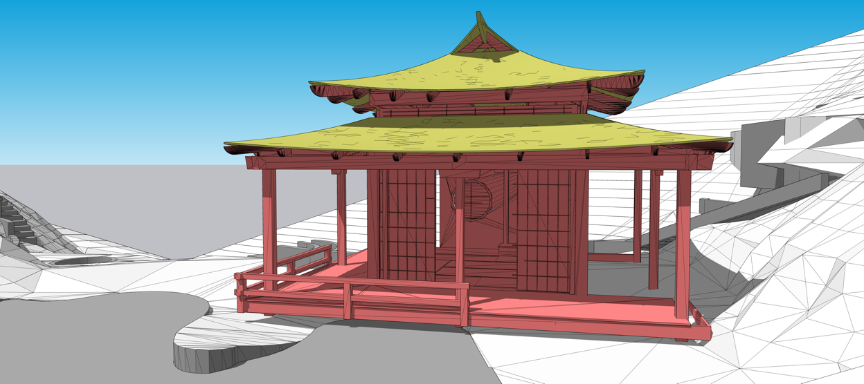
You see the issue, a beautiful teahouse, that I’m already fabbing the parts for, the original design layout didn’t fit the site plan and everyone was freaking out, zoom meeting tomorrow! Project on hold! Now we can get back to work making sawdust tomorrow fingers crossed!
You see how accurately I can place the model, and all the imported teahouse model dims are correct.
What a great new tool!
OK folks I've never done this. I have .pcp and .dawg files. Do I import both into a SUp blank file?
any pointers for doing the import?
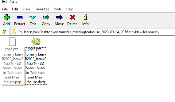
Yeah that's what I did, it's a steep site on a canyon and we're all interested seeig how it fits the site,
he's going to export me a terrain model I can import into my SUP? How will that work when I import it?
A landscape archy I'm working with uses Lumion, can I export a 3d model for him to put in to that program?
So again, am I the only one having this issue? It's so unusual there must be a fix??
yeah that's what I mean, all file types remember the last one, what the heck!
When I export a dxf, then go to do another, it's exporting as a dwg, and I need to change it back to dxf. Can that be fixed? I'm on Win if that matters.
Hhmmm it says all systems operational but I still have the issue.
can SUp be used offline?
Anyone know anything about this and how long it'll last?
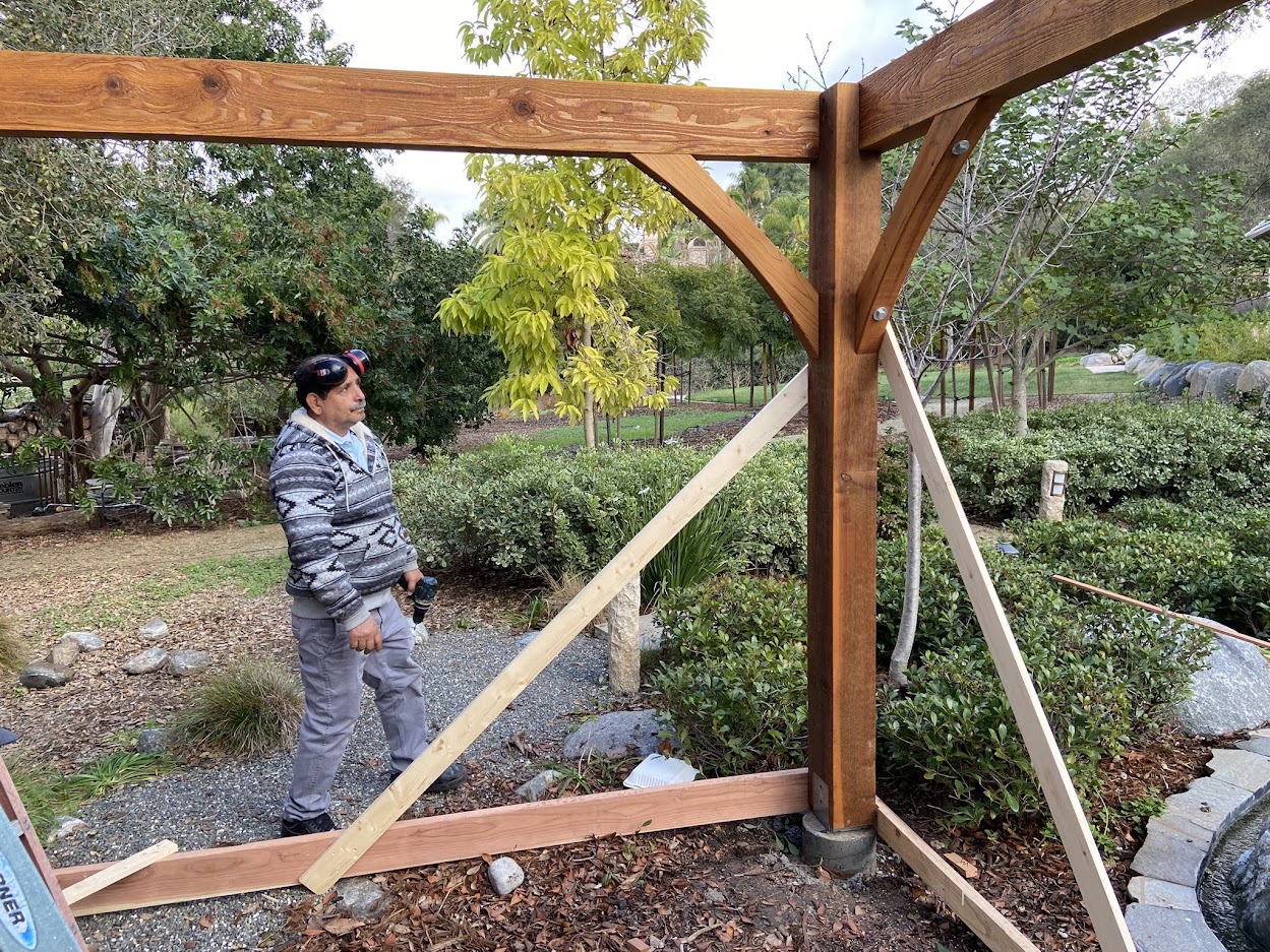
Folks, I'm going to build and ship this nice kit for one of my azumaya designs, all the main structural part anyway, the same one as this photo, except this one also has a surrounding awning type roof all 4 sides of the building, which adds a lot more posts for the footing layout! The Posts all sit on raised concrete columns (1e.png) and we need them placed accurately.
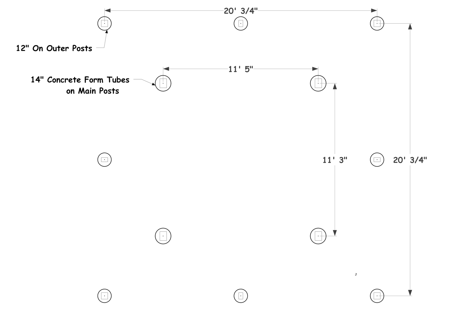
I can create my normal plans for the footing layout, with a normal square or rectangular building it's pretty easy and easy to follow, but with the additional offset Posts it's getting confusing!
as you see in 1d Layout.png, I can locate the exact centers of the post / footings. I'd like to give his concrete contractor some sort of accurate file, so what's the best way to do this? Is there some sort of point cloud a surveyor can use?
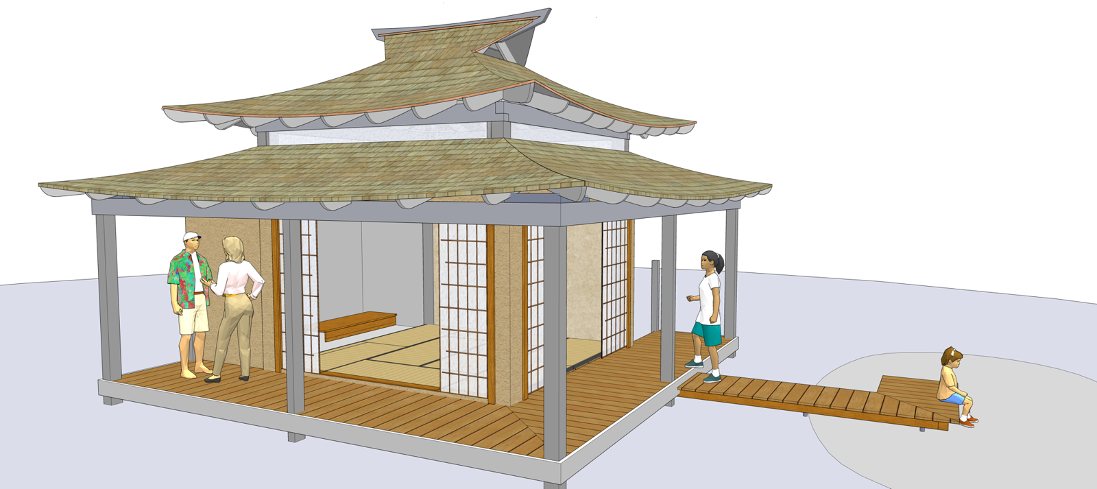
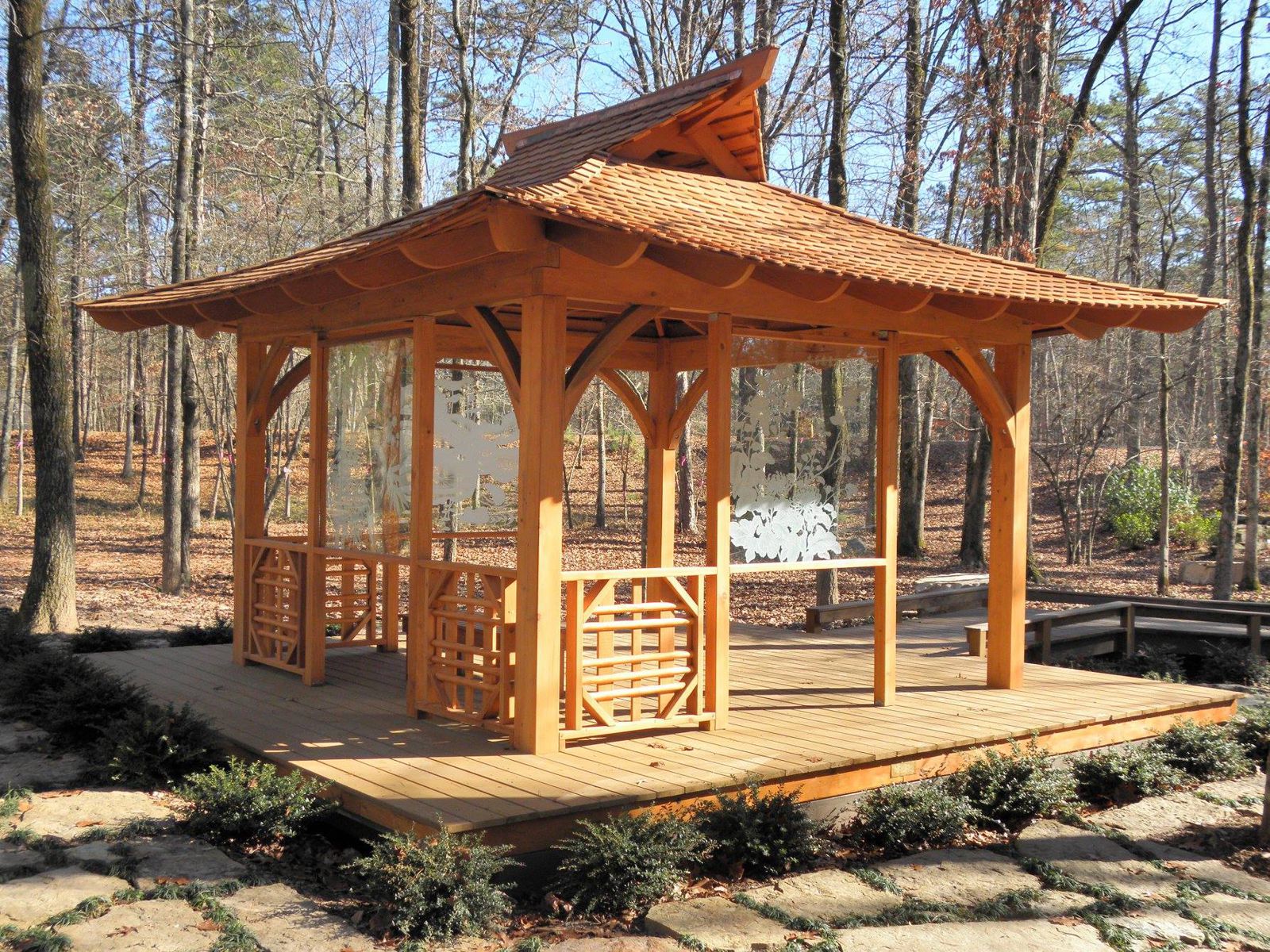
Yeah guys I've never done a video or used powerpoint. I thought there'd be a good 3d sharing option available by now.