@bjornkn said:
The amount of detail is entirely up to you, with full control, and would not take forever. Took about 10-15 min to place ~1400 guide points on the rightmost terrain.
I think you get a bit blinded by the massive amount of data in the mesh, and think that it must be precisely like that in real life. But in reality it shows a smoothed version (3x3m) of the terrain that looks like it's covered in fine sand or snow when you get close - no crisp details. It's like a heavily blurred photo. A real terrain doesn't look like that at all in the details.
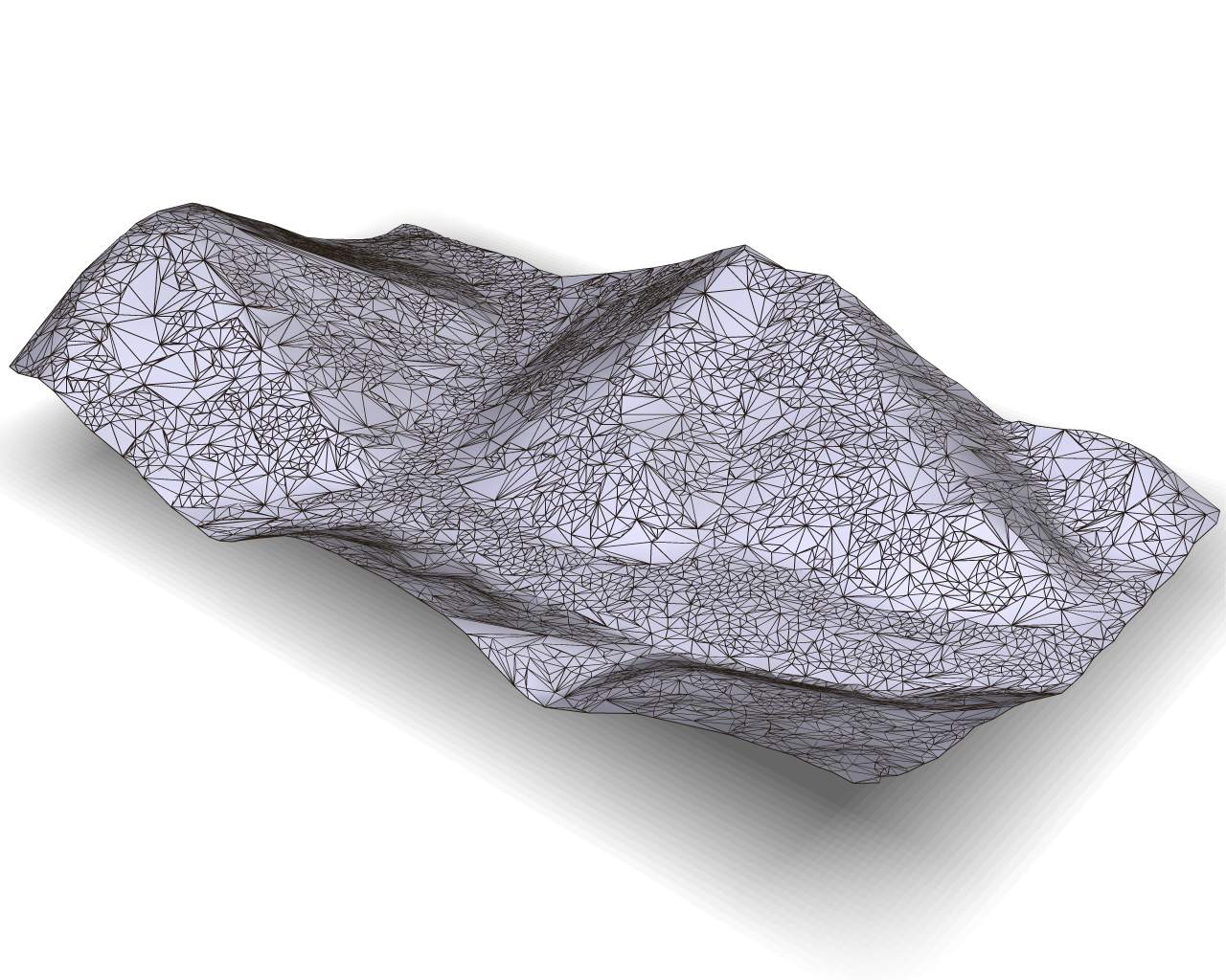
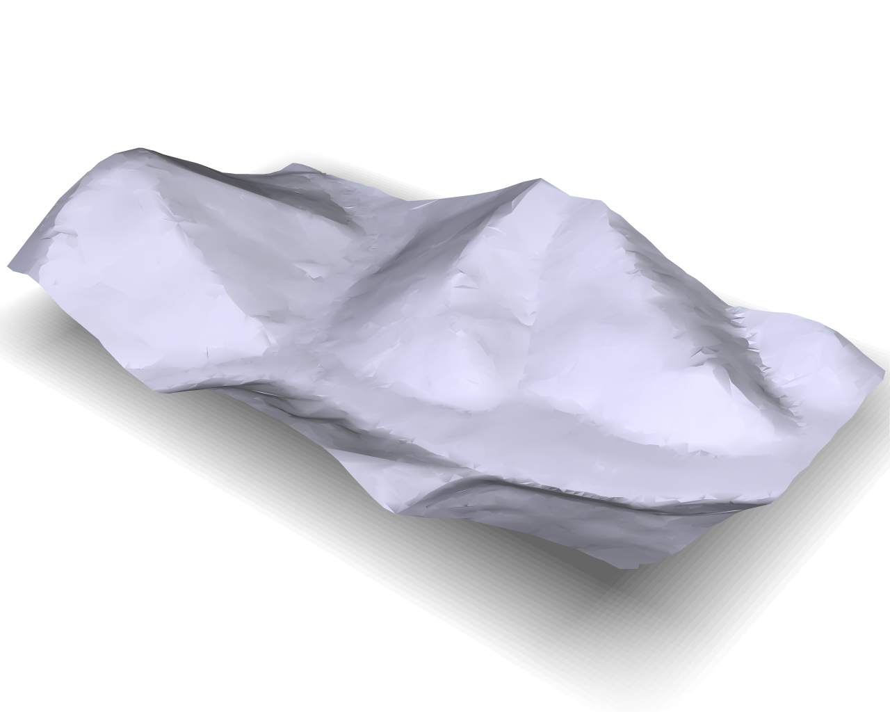
Most of my problem is directly related to smoothing. In most attempts I have made, the terrain came out very soft, with most of the edge details lost or obscured. What I am hoping to achieve is a crisp division between all of the major features like ridge lines, stream beds, etc... The example Solo posted shows the exact image I have had in my mind while trying to achieve my ultimate goal of simplification without losing the important details.
I'll admit that it is easy to get blinded by the sheer amount of data involved but at the same time I have always been aware that I don't need to show every detail. In essence, I want to preserve the overall shapes while maintaining a sharp division at boundary lines.
@unknownuser said:
Do you have a photo of the area? Ground level? The shapes indicates that there must be lots of boulders, rocks, gravel everywhere?
Where is it?
The shapes are actually a bit misleading. While there are some rocky outcrops, most of the area, with the exception of the valleys, is forrested terrain. As irony would have it, Lidar data tends to pick up a lot of ground clutter which only contributes to my problem.
@unknownuser said:
BTW, Solo wrote that he used Deep Exploration, which costs $400-$700 per year 
Nice program though. I have an older version of the CAD/expensive version, bought when it was much cheaper and with no annual fees. No skp, Collada, FBX though.
Yes, from what he wrote, I too assumed that he used Deep Exploration. As it turns out, I also have an older copy but had completely forgotten about it. If I can learn the method Solo used, my problem may be solved, especially if I can achieve results like the ones he posted.


