Hi folks, I wanted to update you all on how you can help. Here is a site that shows what we need help with and how you can get involved.
Please help if you can. 
https://sites.google.com/site/mapyourworldcommunity/events/sudan
Thanks!
- CraigD
Hi folks, I wanted to update you all on how you can help. Here is a site that shows what we need help with and how you can get involved.
Please help if you can. 
https://sites.google.com/site/mapyourworldcommunity/events/sudan
Thanks!
- CraigD
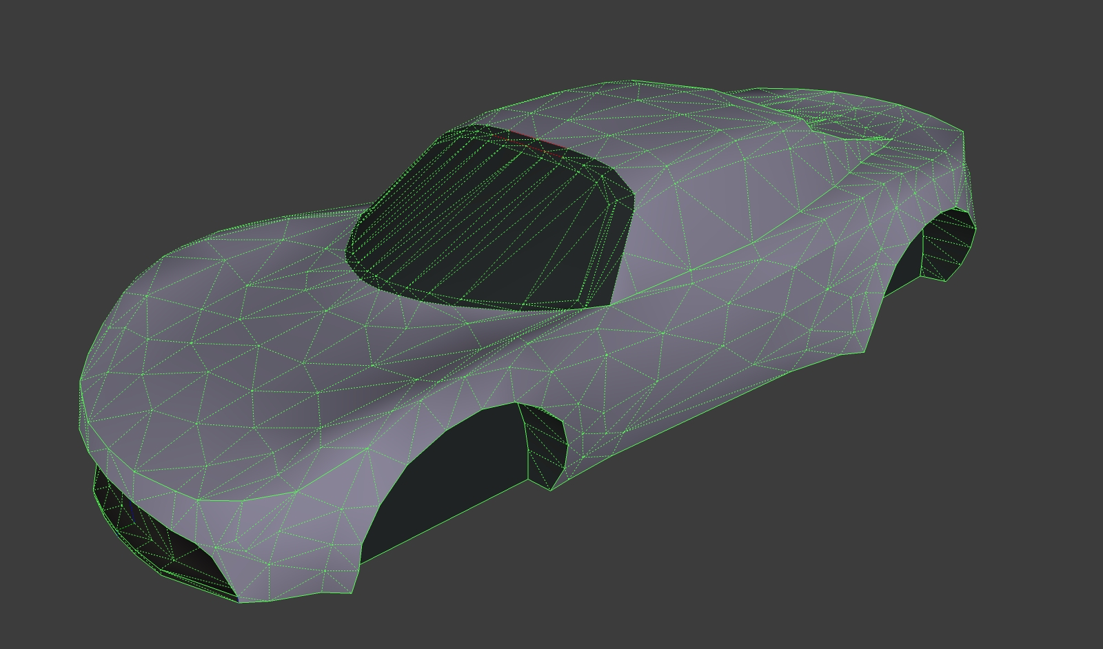
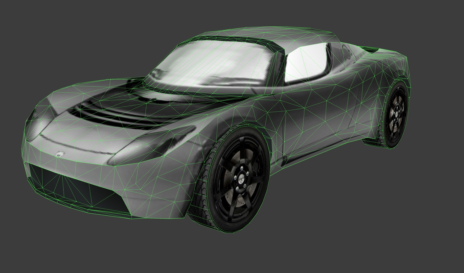
I agree that the poly count on your car's shell is way overkill. I've done some pretty smooth bodies with much less poly density. You have to choose your high detail areas, and then see where you can get away with larger "panels". SketchUp can handle a pretty high poly count, but at some point your hurting yourself for very little gain. Mind you, I've had to do some extensive poly reduction to get cars Google Earth ready and have really ridden the edge between high detail and "acceptable" low poly modeling.
Cheers,
- Craig


Hi harnstein!
The request is for people with local knowledge of the region to jump onto Map Maker and start filling in details like roads, road names, important features such as hospitals, police stations, water service, etc.
Many of these regions to NOT have paper/analog maps (this would be much easier if these maps did exist) so we are asking for help from the world.
I'm also very interested in getting information on organizations of Sudanese diaspora, or folks who've been displaced from the region, to help join the call to action.
I hope that helps explain more, and very shortly I will have a link to a guide with more detailed information.
Talk to you all again soon!
Cheers,
- CraigD
Hi folks! I am back from some travels and wanted to ask if anyone has been able to jump in and do any editing. I also am very interested in finding out if you had any trouble with the Map Maker tool. Any feedback is appreciated and of course any mapping of the Sudan region is just stellar!
Thanks guys!
Cheers,
- CraigD
Got 'em! Thanks for the heads up!
- CraigD
Thanks guys! It's great to be back and to see all these familiar folks again! Tricia says hello by the way! We spoke today and as always she was all smiles. 
With Rich's help, I've created another post about updating maps for the Southern Sudan region using Map Maker. I encourage everyone to take a look at what it's all about, and lend a hand with mapping if you can. I'd also love to get any feedback from folks about the Map Maker tool, any issues you find and improvements you'd like to see.
Again, it's nice to be back in touch with everyone! Please say hi if you haven't.
Cheers,
- CraigD
Hi Folks,
As you may know, I am looking for help from anyone with local knowledge of the Southern Sudan region, or time to log on and pitch in, to help us update Google Maps online. Currently there is a focused effort to update the map data of Southern Sudan in the face of their historic elections, but help is needed right now. The help that I'd like, is to be informed of online communities that could assist in the effort to improve the accuracy of the map data using Google Map Maker. These would be folks that are familiar with, or have local knowledge of the Sudan region, and have web access. Also anyone interested in adding to the effort is encouraged to use the links below to become familiar with the region and start adding map data with Google Map Maker.
Here's why this is important: As stated here, (http://www.satsentinel.org/blog/lets-build-better-map-southern-sudan), "Without basic geospatial information, it’s difficult for humanitarian agencies and first responders to monitor and evaluate the risks and current needs, target their efforts, and mobilize proper resources. At times like these, it is critical to have good maps on roads, settlements, voting stations, hospitals, buildings and other services - with both local and official names - to generate better, faster responses."
The United Nations, Harvard University, Google, and the NGO Enough (co-founded by actor George Clooney) have just launched a project using imagery, field reports, and Map Maker to conduct human rights monitoring along the border between North and South Sudan.
The Project site is live at: http://www.satsentinel.org/
Here's what we need: your local knowledge and mapping contributions on schools, hospitals, and landmarks, along with their local names, will be extremely useful to support human rights monitoring and reporting. More specifically, over these areas of interest (see attached kmz), provided by our colleagues from the Sudan Sentinel project -- let’s map extensively:
towns and town names (multiple names especially)
roads (in-town roads as well) and trails
displaced persons camps
cultural landmarks
geographic landmarks
schools
orphanages / shelters etc
hospitals
community centers
border crossing points
nomadic camps,
markets and large gatherings of cattle
Here is a link to up-to-date map imagery:
http://www.satsentinel.org/maps
Here is some basic information about using Google Map Maker:
http://maps.google.com/support/bin/static.py?page=guide.cs&guide=30028
Begin mapping Sudan here:
http://www.google.com/mapmaker?hl=en&q=Sudan&gw=30&ll=13.325485,30.19043&spn=27.624482,32.167969&z=5
If you have any questions, or would like to contact me personally, please use the Private Message system of this forum and I'll get back to you as soon as possible.
I thank you for any help!
Cheers,
If you're interested in becoming part of the online Map Maker community, here's where!
http://sites.google.com/site/mapyourworldcommunity/
Many times I come across models that need to have the file size reduced for use in Google Earth. Often a large texture is used numerous times only for a small portion of the image (or a line/edge exists that essentially creates another face). What I do is I make sure that I context-click on all of the photo textures and "Make Unique". Make sure to do this to all faces using that same large texture, and then watch the Materials Browser when you Purge Unused from your model. You should see the large image material disappear from the browser. If it doesn't, that means the large texture is still in use somewhere in the model. Sometimes I'll delete it from the Materials Browser (replace with default color) to find the face. Then I'll undo, select the face and make the texture unique.
Also make sure to use the default back-side color for all of the inside, or back-side faces.
Remove any/all geometry that is not essential, or will not be seen. Then you can start playing with the amount of edges on your curved objects.
And finally, if you've added location (imported Google Earth location) then you'll want to unlock and delete the Google Earth Terrain and Image entities (along with the layers) to make sure you're not carrying that extra weight in your model.
Hope that helps.
Cheers,
- CraigD
Let's also not forget about the ability to import .dae/.kmz files now. The improvements to texture position editing. The ability to import Photo Textures using Street View. I use all of these features on a regular basis, making SketchUp 8 a necessity for me. 
Cheers,
- CraigD