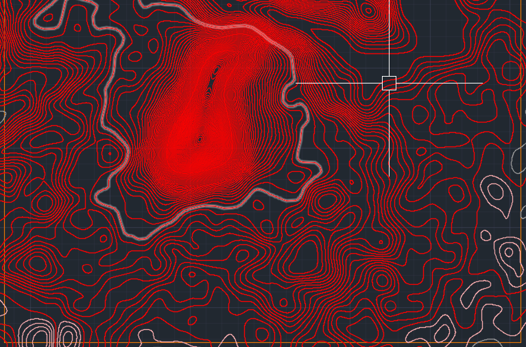
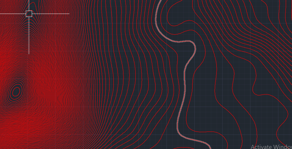
2D contour lines to 3D contour lines
-
Hi,
I wanted to know if there was any tool or plugin to move contour lines, in the y direction automatically without having to select each one and move them individually ? -
I think you mean Z - which is the Blue Up/Down axis ?
Please post an example of the 2d lines you have.
How are they getting made etc...I think it'll need at least some work on your part - extensions can be pretty smart, but being able to 'guess' the height of your separate contours, is likely to be expecting too much.
There are techniques to assist your manual fixes, but unless we know where we are starting from, who knows what to advise ?
-
Sorry yes, i meant the z axis -
 silly me. They are polylines and extracted from AutoCAD. So basically, what I need is that by single click the lines move up/down as prefixed by a constant number which is input initially(something like how push/pull command works for surfaces), instead of having to select one contour line and putting in its elevation one by one. The site I am dealing with has contour interval of 1 m and as it is a detailed design of a large area, I can not make the intervals larger.


-
Is this actually a flat 2d CAD drawing ?
Most CAD drawings would now give an elevation to each contour...
If so them importing a 3d version would be easy.
If it's really all flat, then how do 'you' know what contour has what elevation ?
If there are text-tags associated with each contour then there are AutoLisp routines to read the 2d text and use it to elevate related geometry in 3d...I don't know of any simple SketchUp plugin that does what you want 'out-of-the-box'...
Anyone else want to chip in ??
-
You will probably find a CAD tool that can help. I could do it with the dwg. That looks incredibly detailed. If you are hoping to work with it in SketchUp some simplification may need to be done, especially if this is a detail of the whole.
Oops, yeah without tags it would be guess work but probably "guessable" with some more info.
-
Well I got this contour site drawing from someone else and had a reference image which had the elevations written, but no tags were present in the drawing.
I am done with it now though, I raised the contour lines manually in AutoCAD and then imported the 3D into SketchUP.
Though I would still like to know the lisp for doing it via text tags in AutoCAD.
Here the contours were brought in from rhino. I otherwise usually use global mapper to get conotur maps.
Advertisement


