Aerial photo on Topography Issues
-
Can you import the image as a texture and scale it to match the sandox terrain then set it as projected?
Then paint the sandbox with the sample image.
-
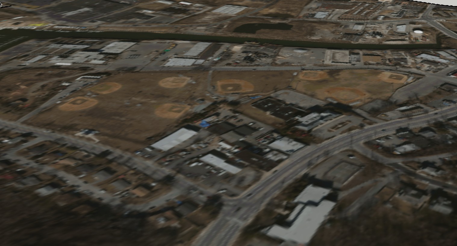
Yes, that's sort of what I did. However the image is much larger than the sandbox which is a strange shape based on the area of the survey. About 3/4 of the image is placed correctly...it's just the random triangles. It looks fine on the google terrain I imported and placed the same image on (see attached). Just less accurate.
-
Can you share an area with the funky texture?
No need to add the text just the mesh
-
Here ya go!
Thanks!
-
Here I go!
-
Hmm...too big to attach.
Here's the CAD file I imported to create the topo. Maybe There's another way to bring it in? I used simplify contours with a 30 degree factor.

-
Did you try TopoShaper?
It could take several minutes to process that terrain but the output would be superior and easier to project the texture to.
Maybe work in isolated area then combine.
-
I couldn't get that to load on SKP2016.
I uploaded the topo - figured you or someone else could make sense of it. -
I tried Toposhaper on an area and it worked fine.
Trying it on the whole mesh didn't work as well and it bug splatted.
Toposhaper does work on 2016 as that's what I ran it on. Hi
-
If your terrain is clean and connected, and softened-smoothed to one surface, With hidden geometry showing project image onto one face (or set the current face material to projected). Sample that face. Then with hidden geometry off, paint the whole surface. Or did you try this?
Hello! It looks like you're interested in this conversation, but you don't have an account yet.
Getting fed up of having to scroll through the same posts each visit? When you register for an account, you'll always come back to exactly where you were before, and choose to be notified of new replies (either via email, or push notification). You'll also be able to save bookmarks and upvote posts to show your appreciation to other community members.
With your input, this post could be even better 💗
Register Login


Advertisement