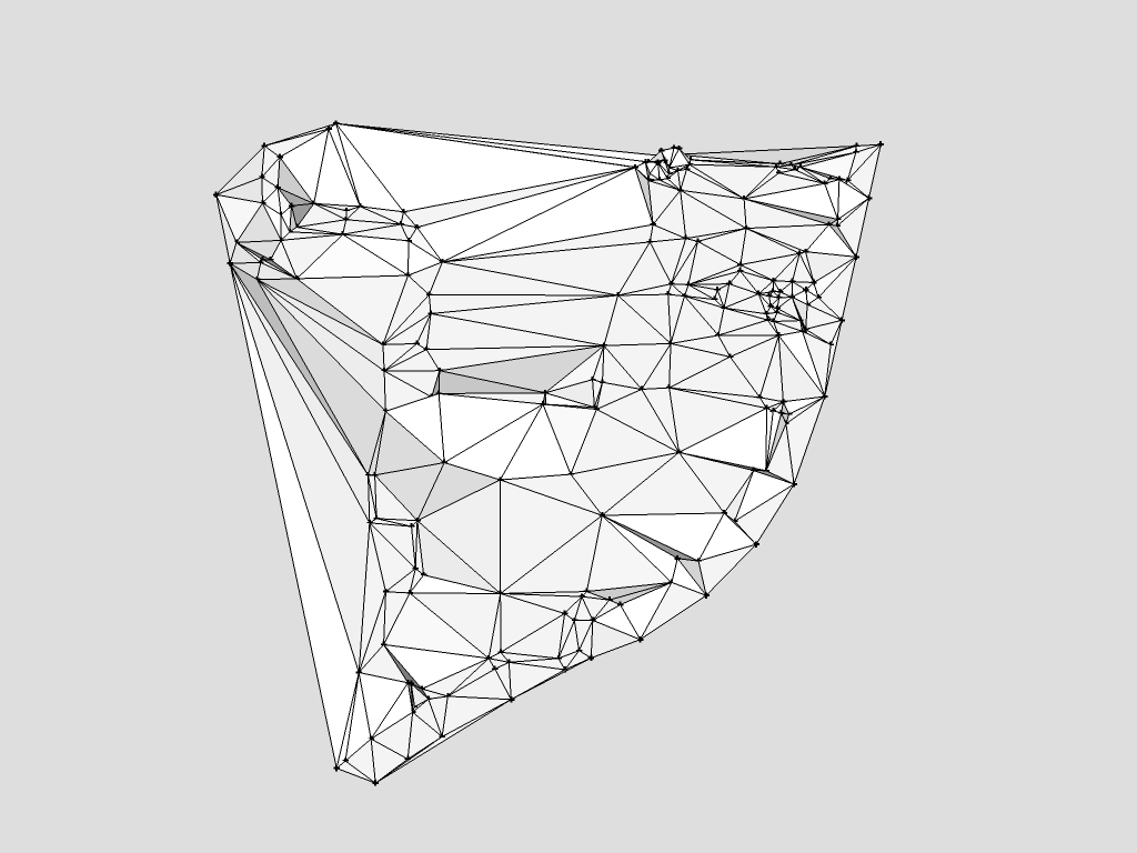
3d Terrain from 2d spot heights
-
PM got and replied...
-
I have a similar problem, I have an autocad file that has a series of spot heights with the heights in text next to them.
I have run the autolisp program on them and now have them at their spot heights. But then when I export them into sketchup and click the contour button on sand box. It says that you must first select the contours to use.
Any Ideas what I am doing wrong?
Thanks
-
Do you select them first? Are they not components or groups (in which case, explode first)?
(Welcome to SCF by the way - Will, isn't it?)

-
Thank you!
yeah I have selected them and they aren't in a group or component.
-
But are they not individual ("small") groups/components either?
How about sharing the file here? (How big is it?) -
I currently have this in Autocad, but when I transfer it to sketchup to use contours it doesn't work.
I have also tried to used point cloud and it doesn't work either.
Anyone have any ideas.
-
It my answer to you here as "version 2" - i.e. if you have guide points (which are not geometry so the sandbox tools cannot handle them), use this plugin to triangulate the points
(Select all > Plugins menu > Triangulate points).(I did not know your units to import so imported in feet as far as I remember but it took a couple of seconds to triangulate only so you can redo)

-
I've tried really hard to sort a similar problem by searching the forums for answers but still can't do it. I have Auto CAD 3D spot heigh data and need to convert it into a 3d landscape terrain. I can't find any plugins that work on my Mac with Sketchup Pro 2016. Any help would be greatly appreciated.
-
If the CAD file's points are located in 3d you simply make copy of the DWG file and delete everything that isn't a 3d point - or perhaps save them as an external DWG.
Then import that DWG into an empty SKP file.
You now have a 3d cloud of guide-points...
Use one of the available extensions to make the mesh from the preselected points, e.g.
https://sketchucation.com/pluginstore?pln=TIG_points_cloud_triangulation
https://sketchucation.com/pluginstore?pln=TopoShaper
note that needs LibFredo too:
https://sketchucation.com/pluginstore?pln=LibFredo6 -
Hello everyone,
any one can help me please in reflecting my topography CAD drawing into sketchup showing the real shape of the landscape based on the point levels supplied from the surveyor.
Thanks in advance.
Regards,
-
@hkarakion said:
any one can help me please...
We can probably help you. You'd need to give us more information. What kind of file did you get from the surveyor? What version of SketchUp are you really using? Your profile says you are using 2020 Free/Make but there is no such version. If we know the correct version we can help you sort out what tools you have available to get the job done.
Advertisement


