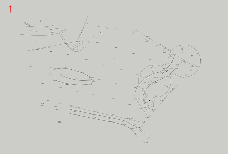
Hello everyone
I have been around for a long time and not able to create ruby which I take advantage of and thought I would try and give something back.
Terrain on Sketchup can be very difficult to achieve accurate results but this is the best way I have managed to do it, that suits planners and clients.
-
Cad drawings need to be exploded on a normal survey you will have points e.g
+93.43
because this is text Sketchup will not import so exploding these will import into sketchup. -
(Image 1) Click File Import select DWG (Sketchup 7 Pro only) click options make sure its set the the correct scale in my case its metric MM click OK you have imported the DWG.
-
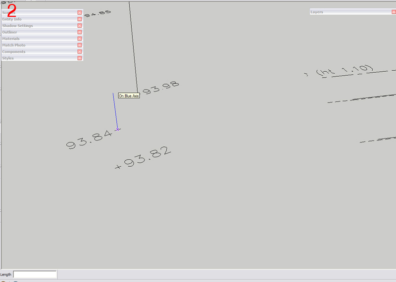
(Image 2) Select the line tool and in the centre of the crosses click to draw a vertical line on the blue axis normally the values are shown as my survey +93.84 ignore the first number and add a 0 to the end so 93.84 becomes 3840 (metric) this will give you the correct levels around the site.
-
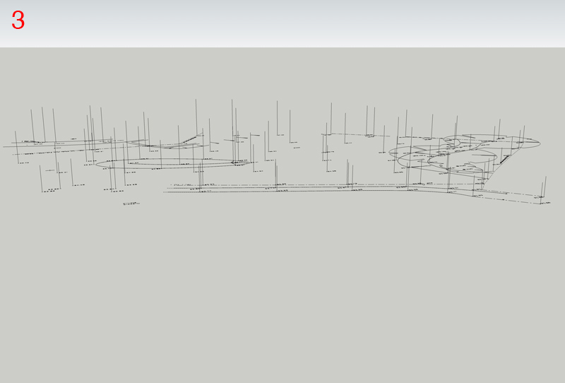
(Image 3) shows the whole site with vertical lines
-
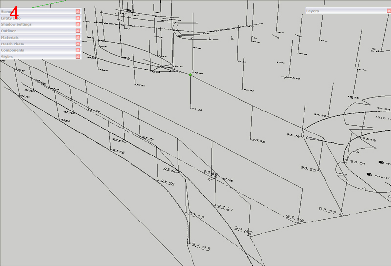
(Image 4) Start to draw lines around the tops of the vertical lines creating the skeleton for the mesh
-
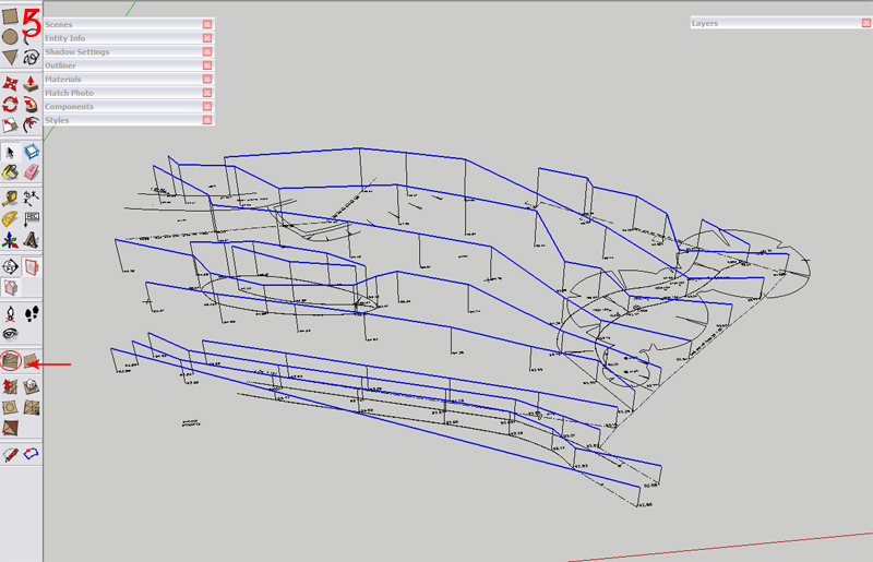
(Image 5) Once you have completed select all the lines and press the From Contours button from the sandbox tools, shown by the circle and arrow you may have to enable sandbox from Sketchup's advanced features.
-
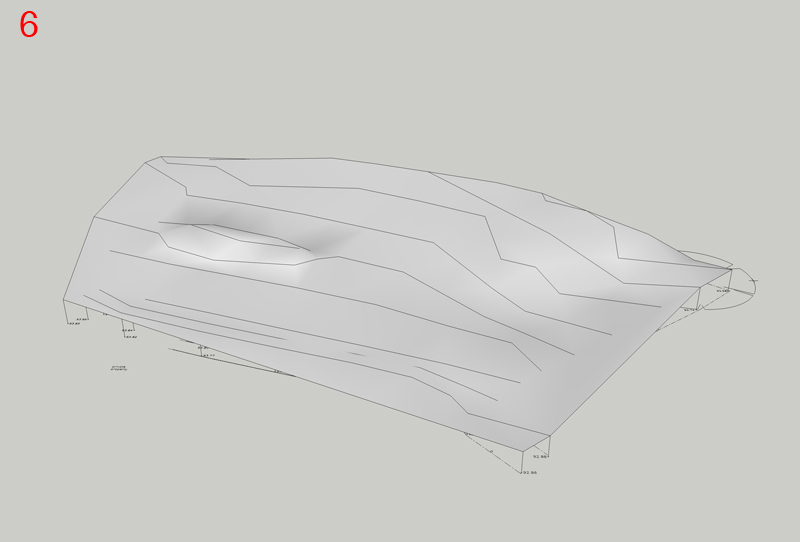
(image 6) you have a completed accurate landscape (as long as the land surveyors did there job properly

Thats it I hope this is of help to some people.
Best Wishes
Andy
