How to Outline Geolocation's Terrain?
-
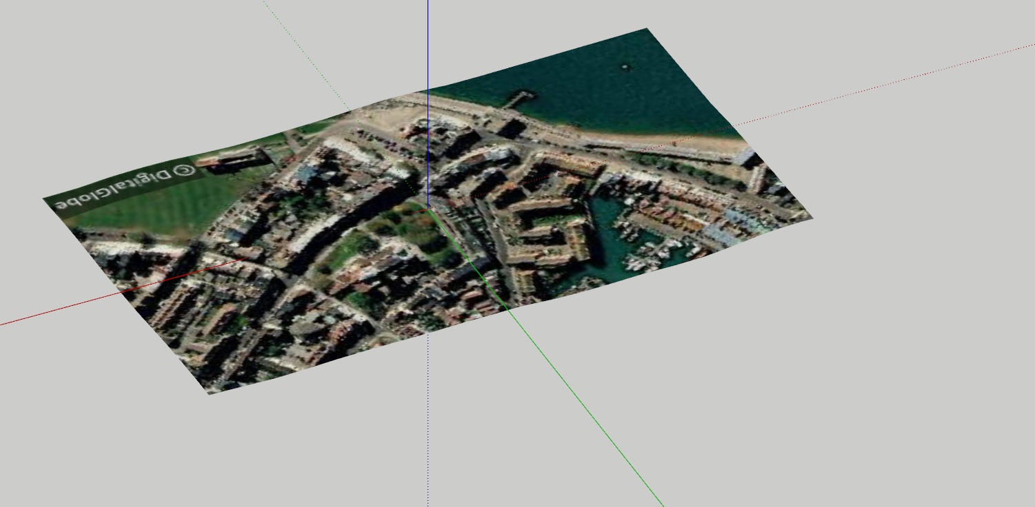
Hi all, I just realised I have absolutely no idea how to outline the terrain I gotten from Geolocation in SketchUp Pro 2019...
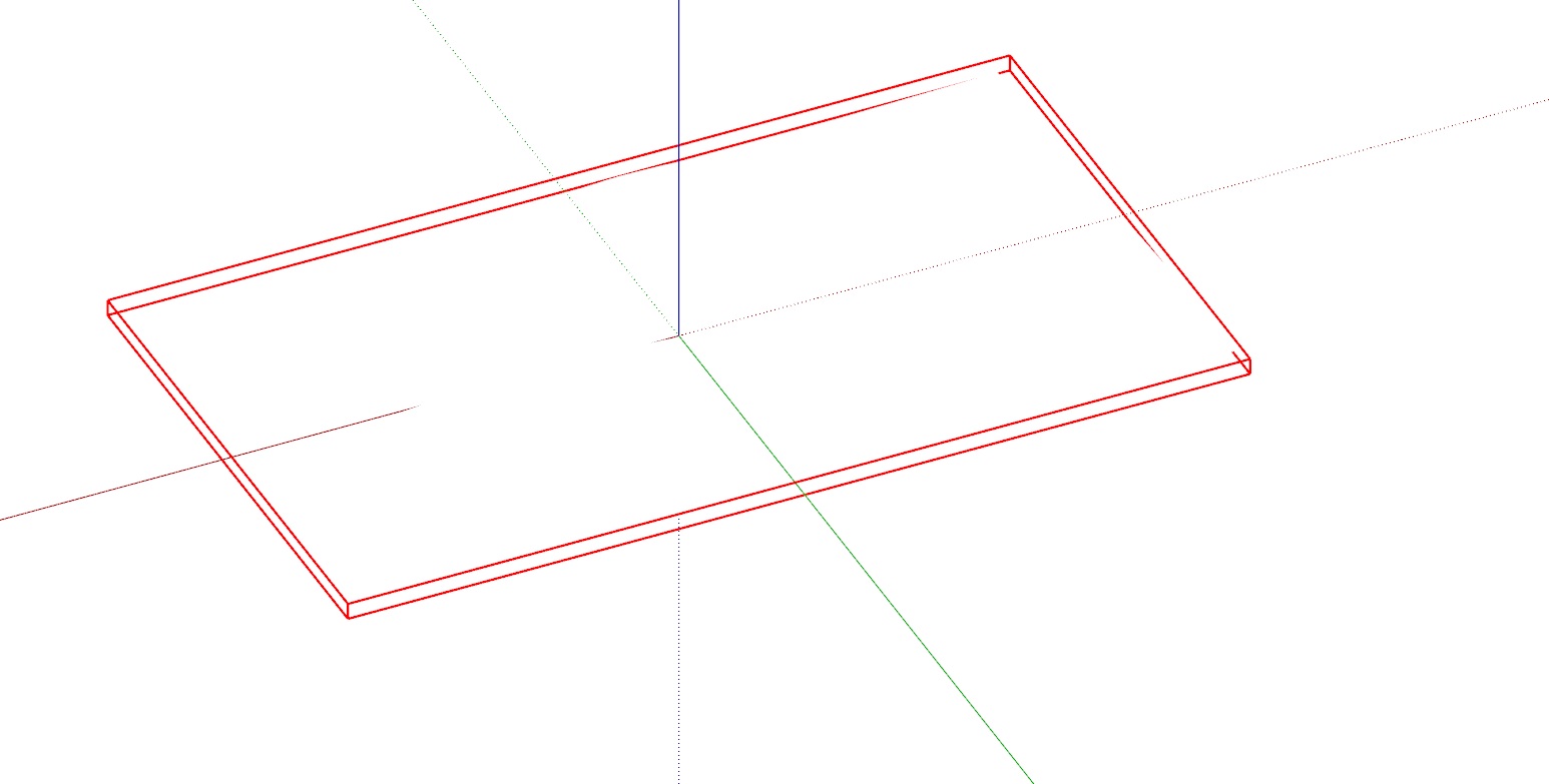
The reason I need it outlined is because I want to work with Hidden Line Style... Without the outline it's entirely just blank without anything... Anyone knows how? Thank u!


-
Right click on it and choose Unlock. Then open the group for editing, select the geometry and click on Edit>Unhide>All. Also make sure Profiles are turned on in the Hidden Line style. The default Hidden Line style does not include Profiles.
-
@dave r said:
Right click on it and choose Unlock. Then open the group for editing, select the geometry and click on Edit>Unhide>All. Also make sure Profiles are turned on in the Hidden Line style. The default Hidden Line style does not include Profiles.
OMG it works! Thank u!!

-
You sound surprised.
While you're at it, click on the style's large thumbnail to update it with the changes.
-
@dave r said:
You sound surprised.
While you're at it, click on the style's large thumbnail to update it with the changes.
yes indeed I was. Haha, Because I always thought turning on Profiles when inside HiddenLine Style is good enough. Didnt know I have to open the group and Edit>Unhide>ALL just to show the outline. I was stuck for HOURS! Haha
-
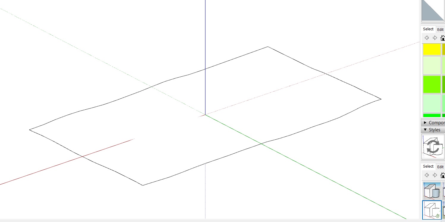
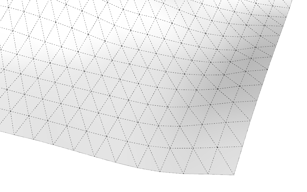
If you set the face style to Monochrome so the image isn't getting in the way and turn on Hidden Geometry, you can see that all the edges bordering the terrain are hidden (dotted lines) and the edges bordering the triangular faces are softened/smoothed (dashed lines).

-
@dave r said:
If you set the face style to Monochrome so the image isn't getting in the way and turn on Hidden Geometry, you can see that all the edges bordering the terrain are hidden (dotted lines) and the edges bordering the triangular faces are softened/smoothed (dashed lines).
[attachment=0:3nf8v0jf]<!-- ia0 -->Screenshot - 2_21_2020 , 7_59_36 AM.png<!-- ia0 -->[/attachment:3nf8v0jf]Ahhh! I see! It makes absolute sense!
Advertisement


