Create and export closed polyhedron on Earth's surfaces
-
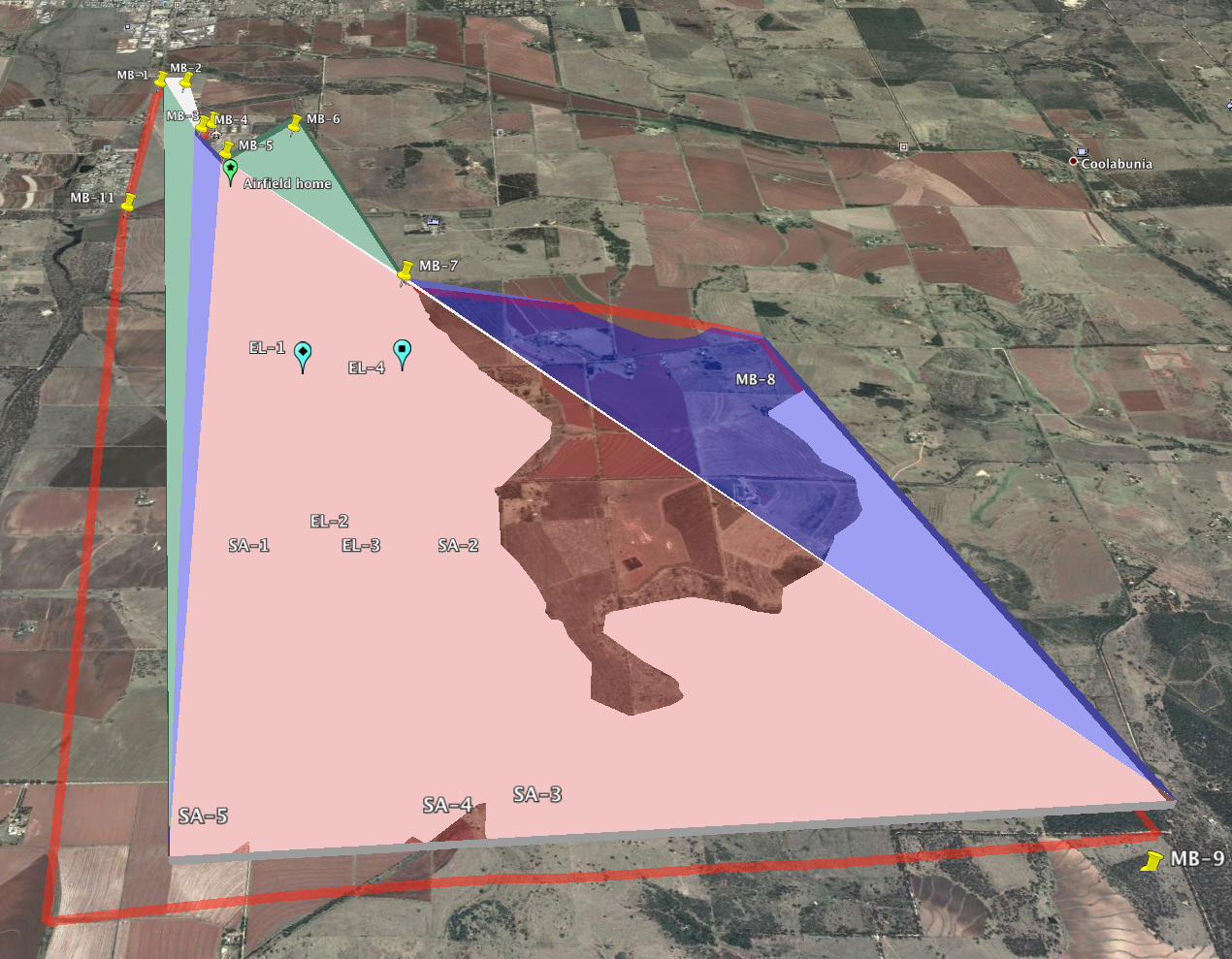
Using posts on these forums, as well as plugins such as TriangulateFaces, I have been able to generate simple polyhedra and visualize them in Google Earth.
This is almost what I need. I have two remaining steps for which I'm hoping to find convenient answers:
- I would like to be able to set the base of my polygon to follow terrain contour, so that the base is a constant height about the ground.
- I want to export the model model as a group of faces with vertex coordinates in lat-lon-alt tuples, ideally as a KML file. Currently, the model that is exported to Google Earth is a KML file containing only a placemark anchor, with the faces and vertices being placed into a secondary DAE file using machine coordinates.
Anyone have tips for accomplishing (1) and (2)?
EDIT: http://sketchucation.com/forums/viewtopic.php?f=323&t=38009 seems to solve #2.
Hello! It looks like you're interested in this conversation, but you don't have an account yet.
Getting fed up of having to scroll through the same posts each visit? When you register for an account, you'll always come back to exactly where you were before, and choose to be notified of new replies (either via email, or push notification). You'll also be able to save bookmarks and upvote posts to show your appreciation to other community members.
With your input, this post could be even better 💗
Register Login


Advertisement