Importing large Google eath area
-
Hi all,
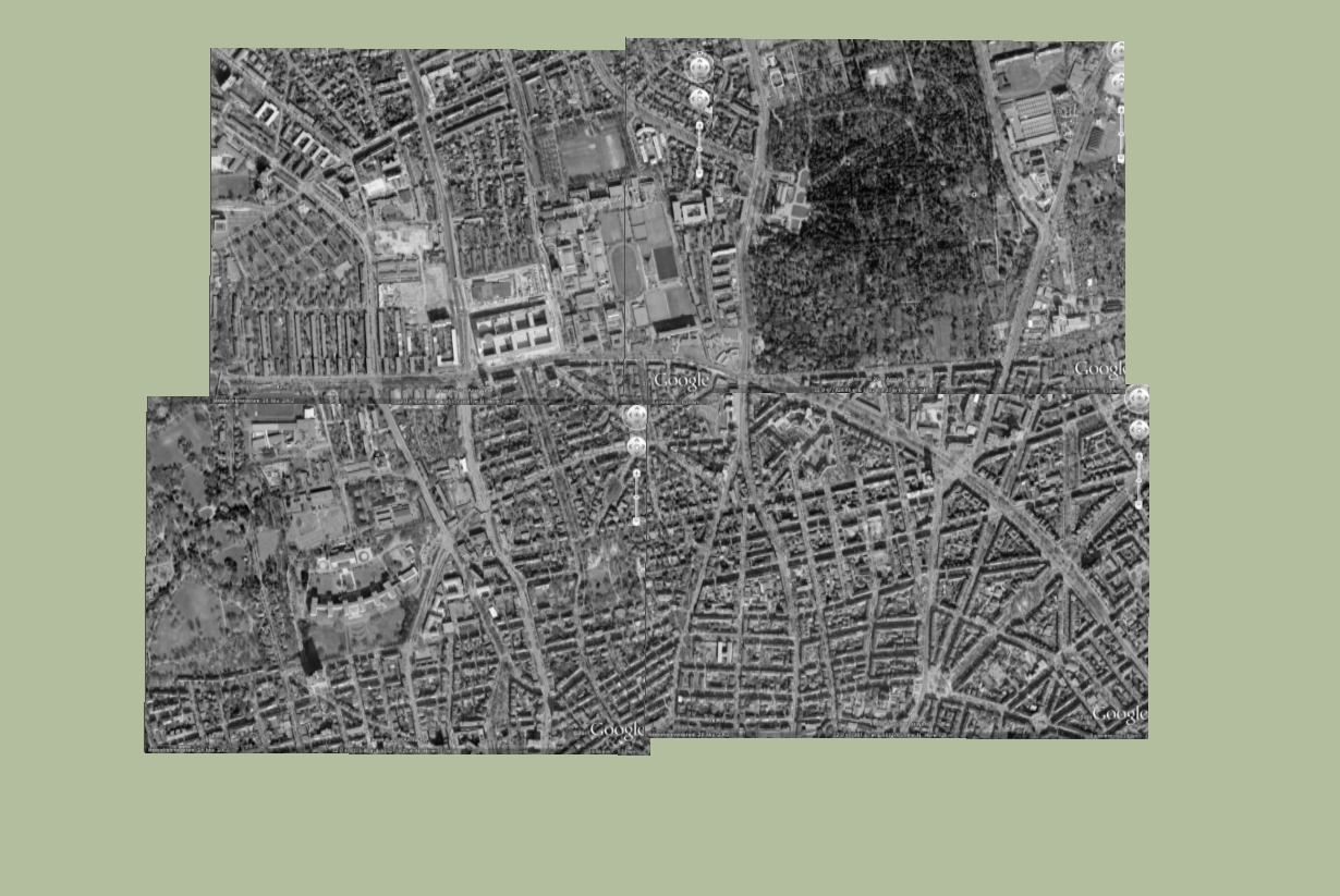
I'm starting a new landcape project on a large scale and I want to import the view from Google earth in Sketchup, but i'm confronted to a little problem. When I have a large view in google earth, Skecthup tells me that I have to zoom in a little in GE in order to import the view (snapshot and terrain).
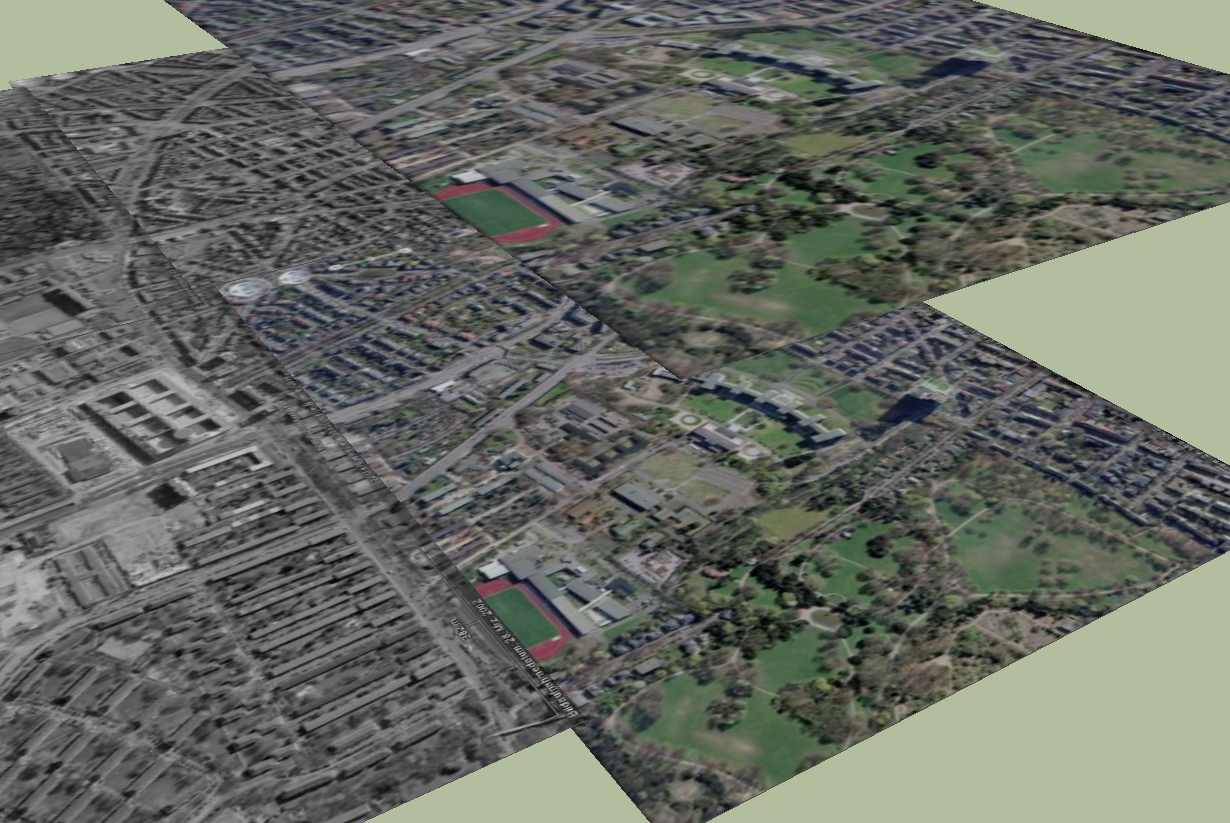
Because I need a large space, I tried to import it in several times, but It seems that google earth is not really accurate, and at the end, each imported part are not continuous in skecthup.
Another thing, is that the google earth snapshot is in Black and White, and I want oolors...
I did not find a tutorial on the use of google earth with skecthup on SCF, if somone knows a workaround or something that can help.
Hope, I'm clear enough...
Thanks.
EDIT : After some tests and reflexions...I am working the wrong way since I can import my models in google earth for large views...forget it.
Panga.
-
Hi Panga,
The only way I know is as follows. You have to get more tiles from Google Earth. The tiles should overlap. And for every tile you have to export the color picture from Google Earth. The color images You can then project onto the individual tiles later. Depending on the number of tiles it is much work.
Karlheinz


-
Thanks for your answer Karlheinz, I tried this solution before, and if the different tiles overlap well in the top view, in other view the junctions are not so good. But anyway, it's better to export just a part of the area, modeling in sketchup and finally import it in google earth.
Now I have to figure out how to model all the woods and forests that appear in my area...Working in skecthup is like climbing a mountain...you always discover another challenge after resolving what you thought being the hardest part of the job !!!

Cheers.
-
Panga,
@unknownuser said:
Working in skecthup is like climbing a mountain...you always discover another challenge after resolving what you thought being the hardest part of the job
I agree with you. I do not want to appear curious but may i ask you if this is a commercial project you're working on. If not, what exactly are you planning?
Karlheinz
-
Hi,
Yes it's a commercial project. I'm working on a solar farm project and I have to check the covisibility of solar panels in landscape at large scale, in order to evaluate the impact of the project. I'll post some pictures as soon as i'll be able to do, for obvious commercial reasons

-
Hi Panga,
Be very careful with such very large areas (especially in case you wish to re-export your models to GE). As you know, the co-ordinate system of GE is spherical while that of SU is orthogonal and this can make your objects float in GE - the farther they are from the SU origin, the more they are likely to float.
-
Thanks to remind me this Gaieus...I was just asking myself if it's possible to move objects after they've been imported in GE because I noticed some errors certainly because of co-ordinate system differences.
I'll try to import my whole model piece by piece, in order to limit the deformation.
-
Hi,
I'm restarting this thread because I have an issue in google earth : after importing my final model in GE it only appears in wireframe. My model is quite big, could it be the reason ? or is there any options to have my textured model appears correctly in GE ?
Thanks.
-
Hi Panga,
Is there any chance you are using colours to texture your model and not images?
Also, in any case, could you upload a small example file?
And what version of SU are you using (and if SU 7.1, the latest maintenance release or the "first edition" - where there was a similar bug I was lucky to spot and report back then)?
-
Hi Gaeius,
Thanks for your answer. In fact, the model was not displayed in wireframe : the numerous edges gave the impression of wireframe. So I just re-exported the model without the edges (in collada options) and everything is ok now. I'll post some pictures of my model as soon as I'll be authorized to do.
And by the way, happy new year to you and everyone on this forum !!
Panga.

-
Hi Panga,
Well, that's the "naked" Collada (what is called *.dae in the export box), isn't it?
The kmz exporter would not export any but standalone edges. I didn't even think about the dae exporter above!
And a happy new year to you as well!
-
I've got a similar project to Panga's that I need to give a quote on. Solar, 250 acres (120 hectares say). I know there have been examples of large scale projects posted on SCF in the past. I'd like to take a look at them to get some ideas and possibly use as examples to show the client.
Does anybody have any idea how to access them. I've tried some key word searches but with no luck.
Thanks
Jeremy
-
Hi Jeremy,
Soon I'll be able to put my work online, stay tuned !!

Advertisement


