Import of DXF Terrain fails Need Help
-
Hi to All,
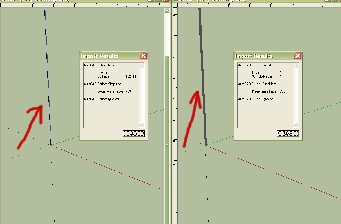
the last time when i imported DXF terrain files from Global Mapper it worked fine in Sketchup. Now i tried again to import such a terrain the result was as shown below. All Data are oriented to the z-direction i don't know why. When i tried to import the same terrain as a DEM file i got a Bug Splat. Can somebody help and try the attached file.
Karlheinz
-
Karlheinz,
See attached. (*.dwg)
.........
Data Converted to Contour Lines for you.
Contour Interval 10.
I don't know your units of Z so it could be either Metres or Feet depending upon the exact data source.
..........
Your X and Y Units are in Decimal Degrees.
Commonly used for Geographic data like Terrain Tiles / Map Tiles.
Z unknown probably Feet (if data originated by USA) or Metres.
You'll probably know this best if you are familiar with the area.
.............
You should be able to work with these lines much easier
(will need to be elevated in steps of 10 feet or 10 metres)
.............
Hope this helpsHoward L'
-
Hi Howard,
Thank you for the efforts you made for me. How did you get the contour lines out of the dxf? Did you use a 3D-CAD software? Because i tried to open the File in a dwg/dxf viewer and in DoubleCad and it was not successful.
The Data downloaded into Global Mapper were from the USGS Server and the dimensions were in Meters.
So at present i'm not shure what the problem depends on. Is it a Sketchup import problem or a GM export problem.
Regards
Karlheinz

-
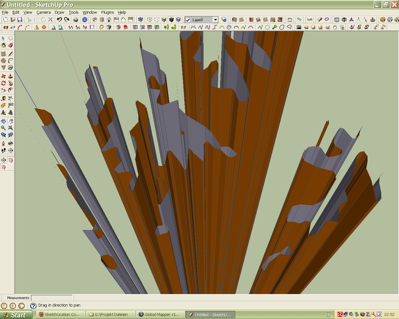
Hi,
I had a closer look to the imported DXF 3D-Mesh and below the result, it looks nice but useless.
Karlheinz
Hello! It looks like you're interested in this conversation, but you don't have an account yet.
Getting fed up of having to scroll through the same posts each visit? When you register for an account, you'll always come back to exactly where you were before, and choose to be notified of new replies (either via email, or push notification). You'll also be able to save bookmarks and upvote posts to show your appreciation to other community members.
With your input, this post could be even better 💗
Register Login


Advertisement