Create point clouds for terrain based on 2D raster drawing?
-
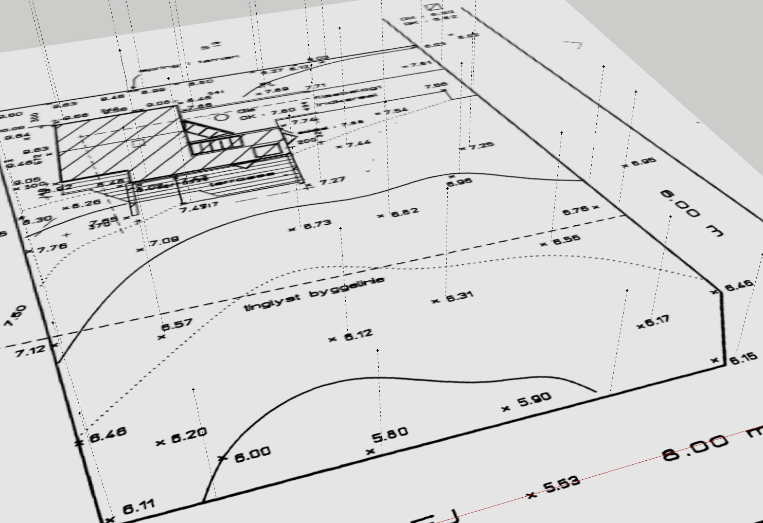
I'm working with raster site plans that I import into SU as image, these plans have the elevations written on them based on old surveys then based on these drawings I try to use the ruler tool to set the points to use with TopoShaper to build the terrain, it takes a long time to do as I'm not able to create the points with the ruler tool directly from the plane so I need to first draw a small line from the start point for each measurement and then use the ruler tool.
then i end up with something like the attached image. Is there a better/faster way to do this?
-
If the terrain is not yet existing seems there is not more elegant method than your...
...except this following is without ruler tool! So a little more speedy!
-
@pilou said:
If the terrain is not yet existing seems there is not more elegant method than your...
...except this following is without ruler tool! So a little more speedy!
Thank you very much, it was a great informative video

Advertisement


