Model of earth with cities
-
Hello All,
I am looking for a sketchup model (component, I guess) of the earth. While I've found a number of earth images from the 3d warehouse that include photographic textures, or models of globes, what I am looking for just is the shapes of the landforms, national borders and major cities. Oh, and I guess latitude and longitudinal lines.
Does anyone know where I can find such a model?
Thanks for considering the question. -
Can you find a flat image of such a thing? If so, you should be able to make a globe.
-
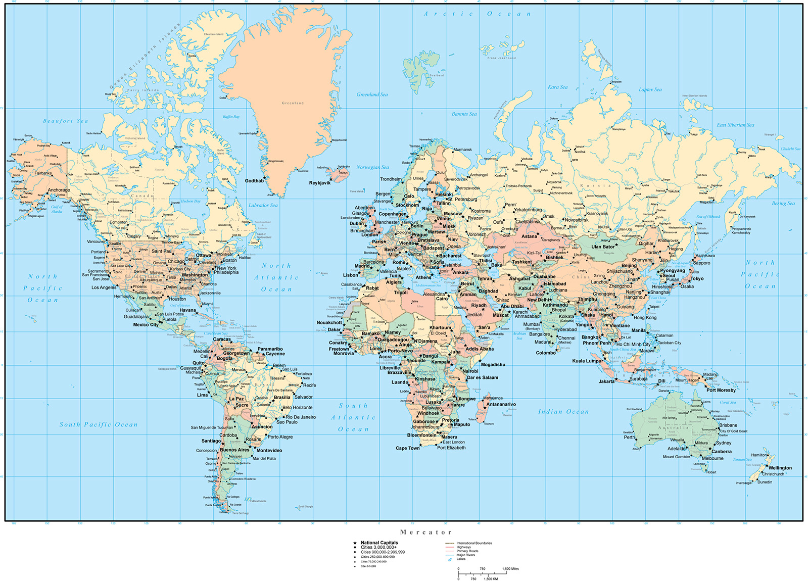
Thanks for the response. Most flat map projections of the earth are unusual projections. Such as mercator or divided near the poles at the latitude lines. But, yes global maps with cities are pretty easy to come by. I've attached a good one for the use. Can you point me in the direction of wrapping it on a sphere?
Funny thing is that I would think that this is quite common - such as news bureaus would need a global 3d map with cities. But I guess most of those use google earth now.
Sorry for the size of the map!
Thanks
Hello! It looks like you're interested in this conversation, but you don't have an account yet.
Getting fed up of having to scroll through the same posts each visit? When you register for an account, you'll always come back to exactly where you were before, and choose to be notified of new replies (either via email, or push notification). You'll also be able to save bookmarks and upvote posts to show your appreciation to other community members.
With your input, this post could be even better 💗
Register Login


Advertisement