Import of SRMT90m DEM Files
-
Hi Community,
Yesterday I found the tutorial by Chris Fullmer, which describes the import of DEM files. From the USGS server, I got a SRMT 90m file for a part of Italy. I used the program 3DEM to open and convert the contained GEO-TIFF file into a USGS DEM file. All these worked fine.
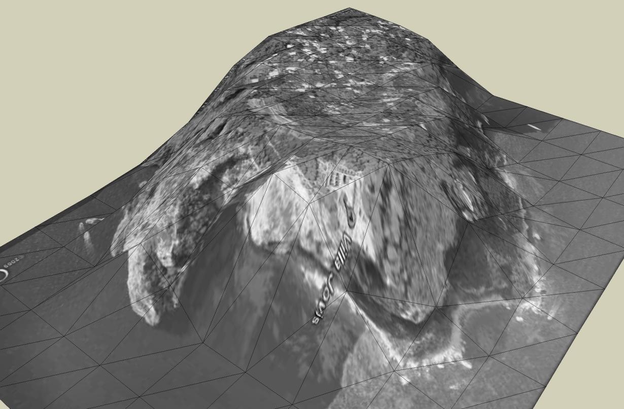
If I import this DEM into SketchUp I get an unexpected result. I do not know if I did something wrong. I attached the corresponding file in this post. Perhaps someone in the community is so kind to test this File to verify that the same happens with him.
A general question about the 90m SRTM files, i have too. Is the resolution of the SRTM 90m files better than a imported Google Earth terrain?
For any help I would be grateful.


-
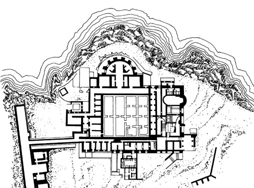
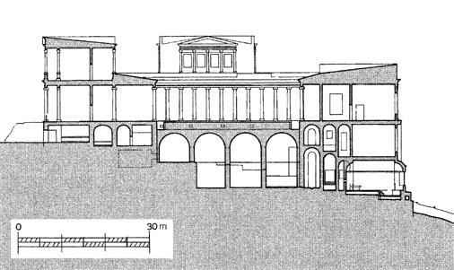
The reason for my previous post is that I'd like to try a reconstruction of the Roman villa Jovis. Because the location is not a flat surface I need a height profile of this site. The terrain from Google Earth is too distorted what affects also the coastlines.
Does someone know a solution to a terrain which corresponds more to the original site or how i should process it.
Karlheinz


-
That is unfortunately common with dem imports. I don't have to do many of them any more (when I wrote the tutorial I was using dems in school projects). What appears to happen though is that SU is misreading the water height compared to the land height. You could probably select all the land and just move it upwards to the height of the flat area (water) and it might fit in nicely. I'll go play with it right now too.
Chris
EDIT: I do not know if it is an issue with how SU imports .dems, or if it is an issue with how 3dem makes the dem file. That software could very well be the culprit.
And playing with it I decided that selecting the flat plan and moving it dowards to the ground level will clean it all up nicely. I'll see if I can make a video.
-
Here's a video. I can't embed it right now, maybe later. For now just download it and play it in your favorite Internet Client (Internet Explorer, Chrome, Firefox, etc).
-
I think the Earth DEM files from the USGS (made by the shuttle) are exactly the same data google uses for most of it's terrain, except for some areas where they have a greater detail from data given by the local authorities.
-
Dear Chris,
thank you for the effort you made for me. That helps me a lot.
Thanks Elysium for your answer.
Karlheinz
Advertisement


