(New York) Real Photographs VS. Google Earth models
-
Hi guys,
Haven't used Google Earth in a couple of weeks...
When I went in to take a closer look at New York, I noticed almost all buildings are now modelled in 3D!I've used some of my New York photographs and tried to find the exact same location in Google Earth.
Please take a look at the enclosed GIF file.

I think Google Earth did a great job!

Regards,
Ward -
Indeed it is impressive! And you did a good job matching your photos. I've watched the sequence over & over -- always something different to see. When you were in NY you must have taken one of the helicopter rides - it looks like you had a great tour.
Regards, Ross
-
Wow, it takes hours until all the Buildings appear

-
@ Ross M.
Yeah, most images are from a heli tour.
I'm impressed Google has modeled Manhattan!
-
Great Shots of New York
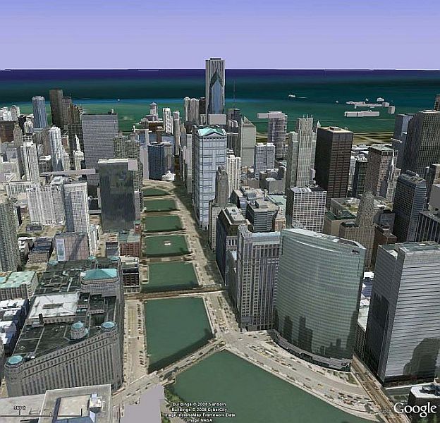
However it looks like Chicago is not too far behind. Attached is an aerial shot of Chicago in article by Philip Greenspun on photo.net(http://photo.net/learn/aerial/primer)Cheers
alpmeadow


-
Nice one Alpmeadow!
Chicago looks realistic, I'll have to take a look in GE.
Advertisement


