Is there a way to locate a marker that shows Long/Lat
-
I have a concept site, large 300 ac. I started with a geolocated topography and image. Now I need to know where 5-proposed gas wells will be relative to my buildings. I have the longitude/ Latitude of the proposed wells.
Is there a way to locate a marker in SU that is referenced to longitude/ Latitude address?
Thank you in advance
-
You could geolocate the markers as components on their own then add them to your original model and they should stick to the location you gave them. We often find people struggling with a component they can't move because it has been geolocated.
-
Illustrating what Box described.
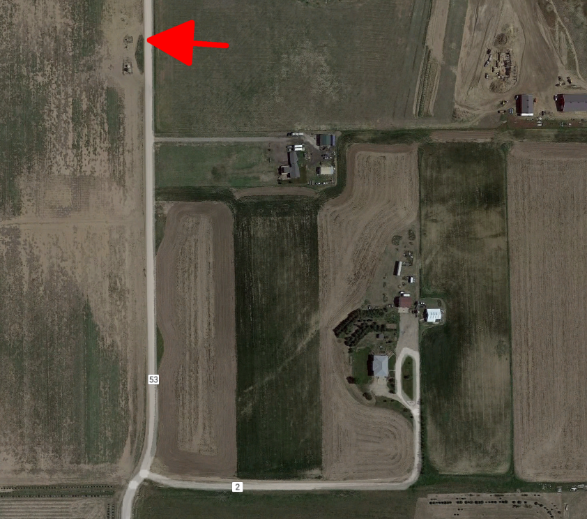
In this case I know there's a well at the location marked with the red arrow. I didn't have the the lat./long. so I got it from Google Earth.

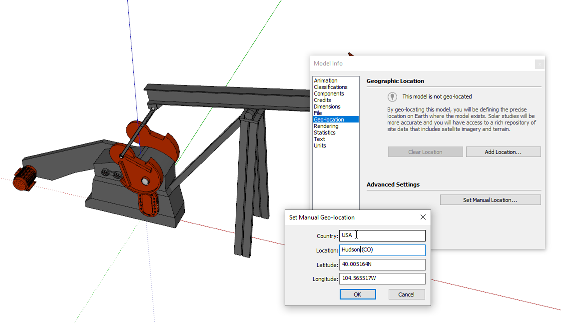
I found a model of an oil pump on the 3D Warehouse and opened it. Then I manually geo-located it via Window>Model Info>Geo-Location.

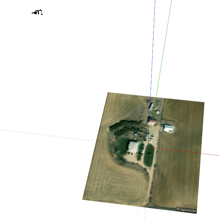
And here I have a site nearby but which I intentionally made small enough to not include the pump. I used File Import to import the saved geo-located pump into the model. You can see it off in the upper left hand corner.

Of course if you can see the location of the well in your geolocation image you could just bring in the pump and place it where you need it.
Advertisement


