Creating clean site plans
-
hi!
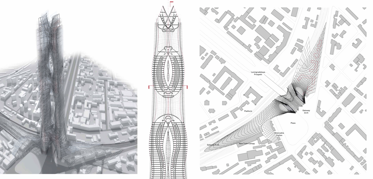
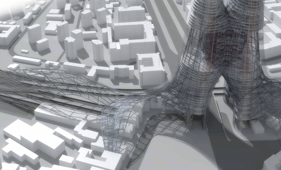
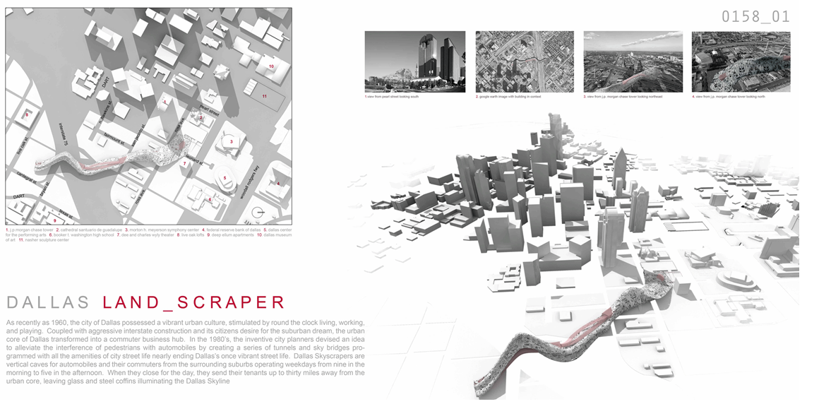
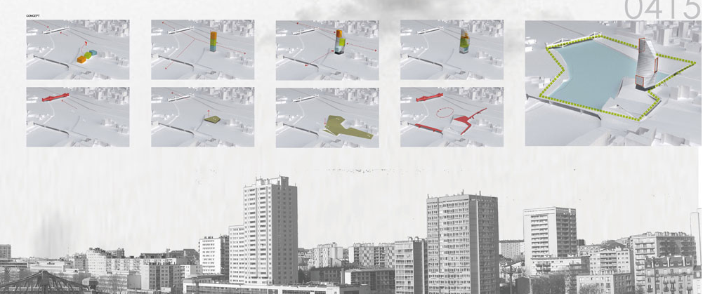
i've been looking at a several architectural competition entries and have noticed that a lot of them have these really clean 3-d site plans. i've attached some examples. are these done in sketchup? is there an easy way to get building elevation data for this? or is this more of a photoshop thing? i'm trying to figure out the best way to generate similar looking site plans, because just having snapshots from google earth doesn't look quite as nice.
thanks!
-
When I make large cities like that, I almost always have all the data from the city in GIS format. So it comes with street curb lines, building footprints. Then its super easy to take those layers into SU and make a city footprint, and extrude all the buildings to approximate heights.
There have been times where I didn't have the GIS data though and I've copied in G.E. terrain data, and traced all the buildings as fast as possible and then deleted the G.E. terrain imagery and just used a nice clean flat plane.
That is how I tend to do it at least,
Chris
Advertisement


