[Tutorial] Merging terrain meshes from Google Earth
-
UPDATE: Unless you are a fanatic of squares, forget this method, and use Didier Bur's "Terrain Reshaper" instead. Just follow the link Gaieus posted. (Thanks for the heads up, Gaieus! I'm always looking for ways to make things in less time)
Most of you already know this trick, but I couldn't find it in the Tutorials section, so here we go...
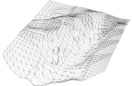
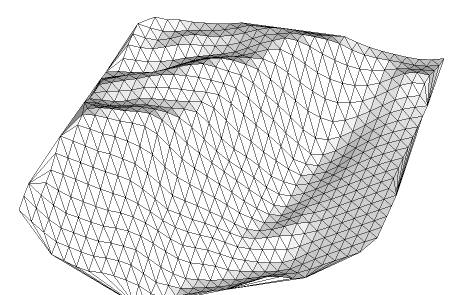
To go from this mess of several overlapping terrain meshes imported from Google Earth (there are about 7-10 different meshes here)...
To this single, regular mesh:
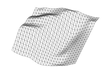
All you need is a construction point inside a component. Make an array of those points above the terrain, and "Drop" them.
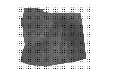
Explode the components to release the points...
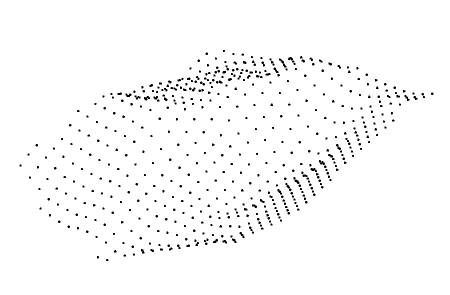
and use "Triangulate points" to make the new mesh. You can then trim the sides of the mesh as you wish, and end up with a clean, good-looking mesh you'll be proud to show .
.
You can find both the "Drop to intersection" tool by Octavian 'TBD' Chis and the "Triangulate points" tool by Didier Bur and C. Fale, in CADFather's compillation, the SCF Power Toolbar, which hopefully is still online:
http://www.sketchucation.com/forums/scf/viewtopic.php?f=180&t=14770&st=0&sk=t&sd=a&hilit=powertoolbarFor the "Drop" tool to work, all the meshes need to be above the origin. If they refuse to move, just right click > unlock.
UPDATE: Ignore the following part of the original post, as "Terrain Reshaper" handles this two cases flawlessly.
This trick is also a "clean" way to reduce the poly count of any terrain mesh. With "clean" I mean that it looks regular from above.
If you created your terrain mesh from contour lines, you can also use this trick to eliminate elongated triangles, which can be problematic when rendering, particularly with a radiosity engine.This trick was inspired by Kwistenbiebel's surrealistic rows of bunnies:
http://www.sketchucation.com/forums/scf/viewtopic.php?f=81&t=6908&p=44716&hilit=bunnies#p44716If you don't have a construction point to work with, download this one:
-
Hi Miguel,
With Didier's "Terrain Reshaper", you can achieve a similar result. It was actually a result of somekind of "hunting" for a nice solution and yours add another coolone to that "collection".

-
I knew it! A ruby Master has already automatized this process!
The results are indeed similar, although not identical:
Original overlapping meshes imported from Google Earth, perspective view and top view. It is about 8 Km wide.
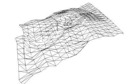
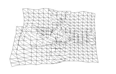
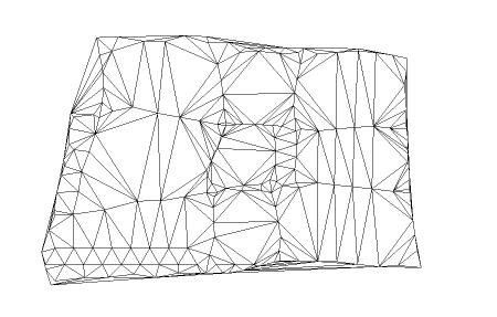
After applying "Terrain Reshaper" with a grid size of 450m, perspective and top view (no cleanup done):
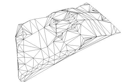
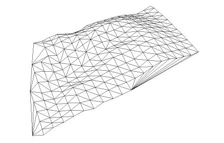
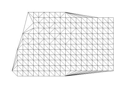
After following the "drop points" method with the same grid size. Perspective and top view, again with no cleanup:
So, unless you're a complete fanatic of regularity, "Terrain Reshaper" is the way to go for a quick solution... Thank you again, Gaieus!
BTW, after reviewing the link you gave me, it seems that Plot-Paris was the first to come up with an idea to regularize a terrain, and TaffGoch was the first to think about using "Drop" to do it. So I'm beating a dead horse here...
-
Never mind; it won't hurt that dead horse anyway.

-
Hello Miquel,
i'm very interested in creating terrains from the real world. I read that in GE a DEM is existing. A few days ago i posted in the German Gallery some tutorial steps to get Height lines from GE, a method i found in the Internet.
My Question : How did you get this terrain mesh from GE.
best regards
Karlheinz -
The question has been settled. I have found the solution myself.
Regards
Karlheinz
Advertisement


