DEM file help?
-
The Norwegian mapping authorities just released DEM data for free use of the entire country a few days ago. I wanted to try it in SU, but am having big problems.
SU crashes every time I try to import a DEM file.
Maybe not so strange, given the quite massive amount of data it contains. Each part/file covers 50x50km at 10m resolutionm which would be a 5000x5000 grid? I haven't really used any DEMs before, but I was thinking that the DEM import options in SU allows you to reduce the mesh to the number of points given in that dialog - but maybe not?I can load those DEM files into Okino Nugraf, but i only have an old version which isn't that very stable on Win8.
I have also downloaded 3DEM, which loads/shows them, but doesn't really help much in getting them into SU.Any tips about loading/using such DEM files in SU?
Edit: Guess I should've added that the DEM files are in UTM32 USGS DEM format, and could be found here: http://data.kartverket.no/download/content/geodataprodukter?korttype=3595&aktualitet=All&datastruktur=All&dataskema=All
-
Can you share the dem file so I can see if I can convert it for you?
-
@solo said:
Can you share the dem file so I can see if I can convert it for you?
Most of those DEM files are ~45MB zipped (151 MB raw), but here is one with mostly water, which zipped to 1.6MB.
Looks like it is small enough for attachements
What programs would you use for converting?
Edit:
Here's how it renders in 3DEM: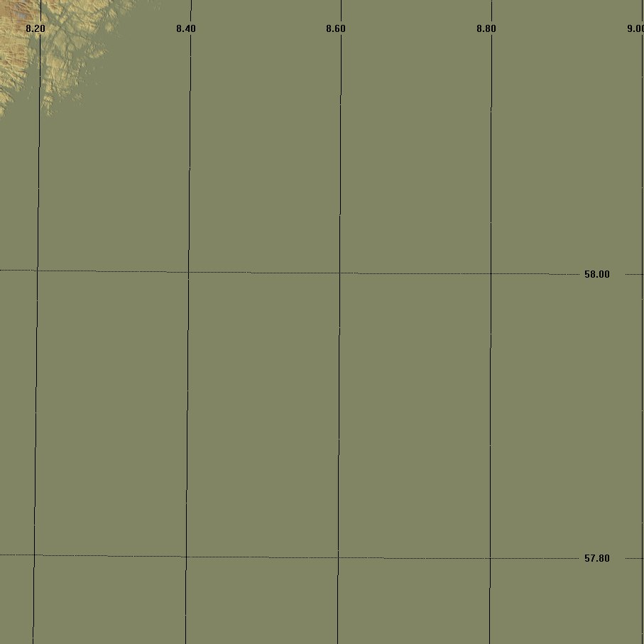
-
The easiest way is to open in Vue and export as .3ds model or .obj, that way you can set the level of detail.
This file is 48MB
 I can reduce it much more if needed.
 -
Hi,
I'm working with Global Mapper (I'm no expert!). I have only one part of the terrain selected and exported as DXF 3D Face file since the whole terrain (appox. 50 x 50km) is very difficult to handle in Sketchup. Global Mapper is also available as a trial version.
-
@solo said:
The easiest way is to open in Vue and export as .3ds model or .obj, that way you can set the level of detail.
This file is 48MB
I can reduce it much more if needed.Thanks for testing it
Could you get it loaded into SU as well?
I have an old license of Vue 5 Infinite (not currently installed). Do you think that could handle such files as well?
When reducing size, what exactly does it do? Is it just like when scaling down a bitmap, that you lose a lot of detail, or is it more intelligent, and able to make a TIN with details only where needed?
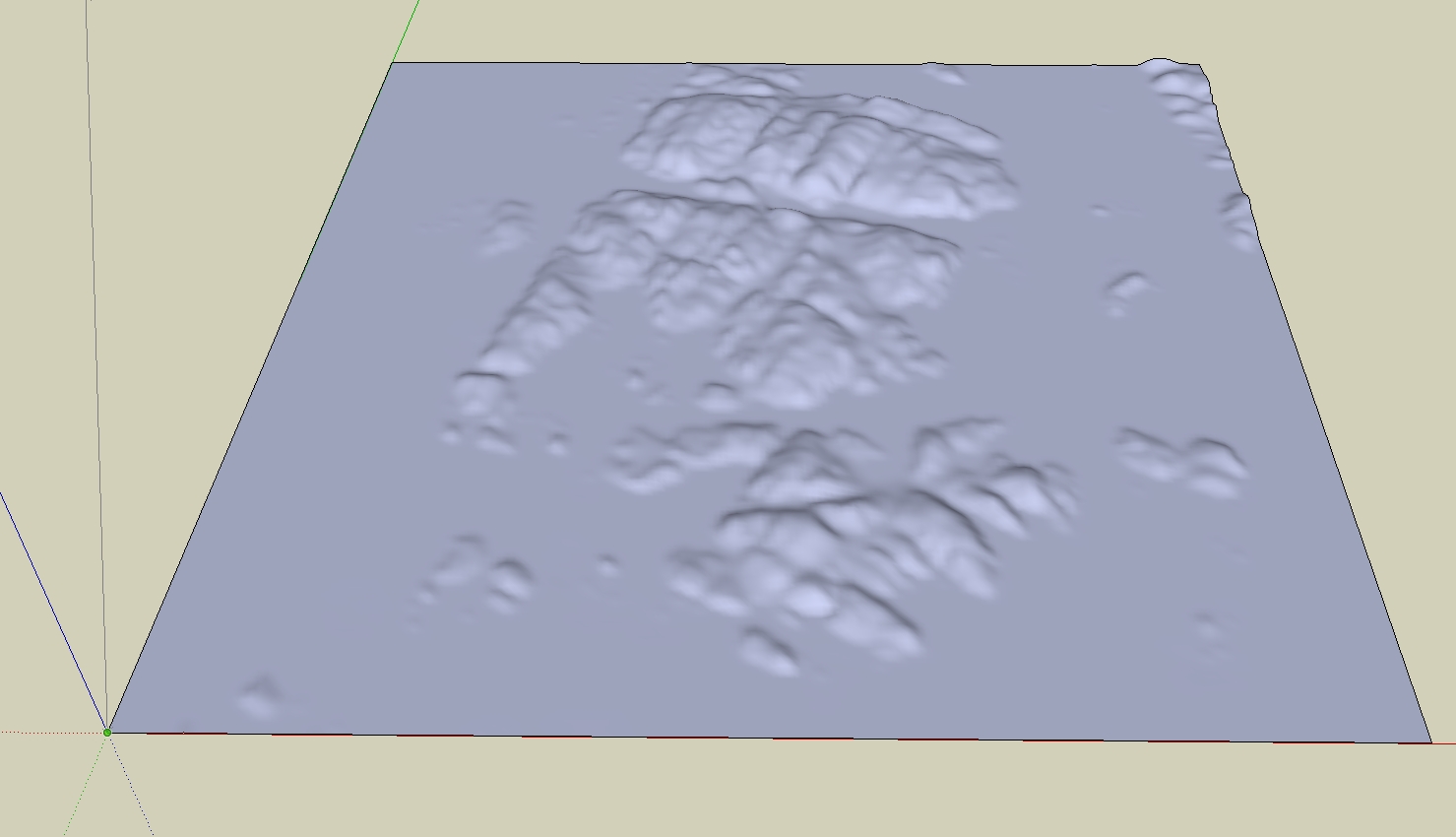
I like the Polygon Cruncher from Mootools a lot. It does a very good job in most cases.Like this terrain that was 560,000 faces, crunched down to 5900. Compared to the real topo/photo it's easy to see why terrain with lots of details isn't really that necessary most of the time - trees cover most of it anyway

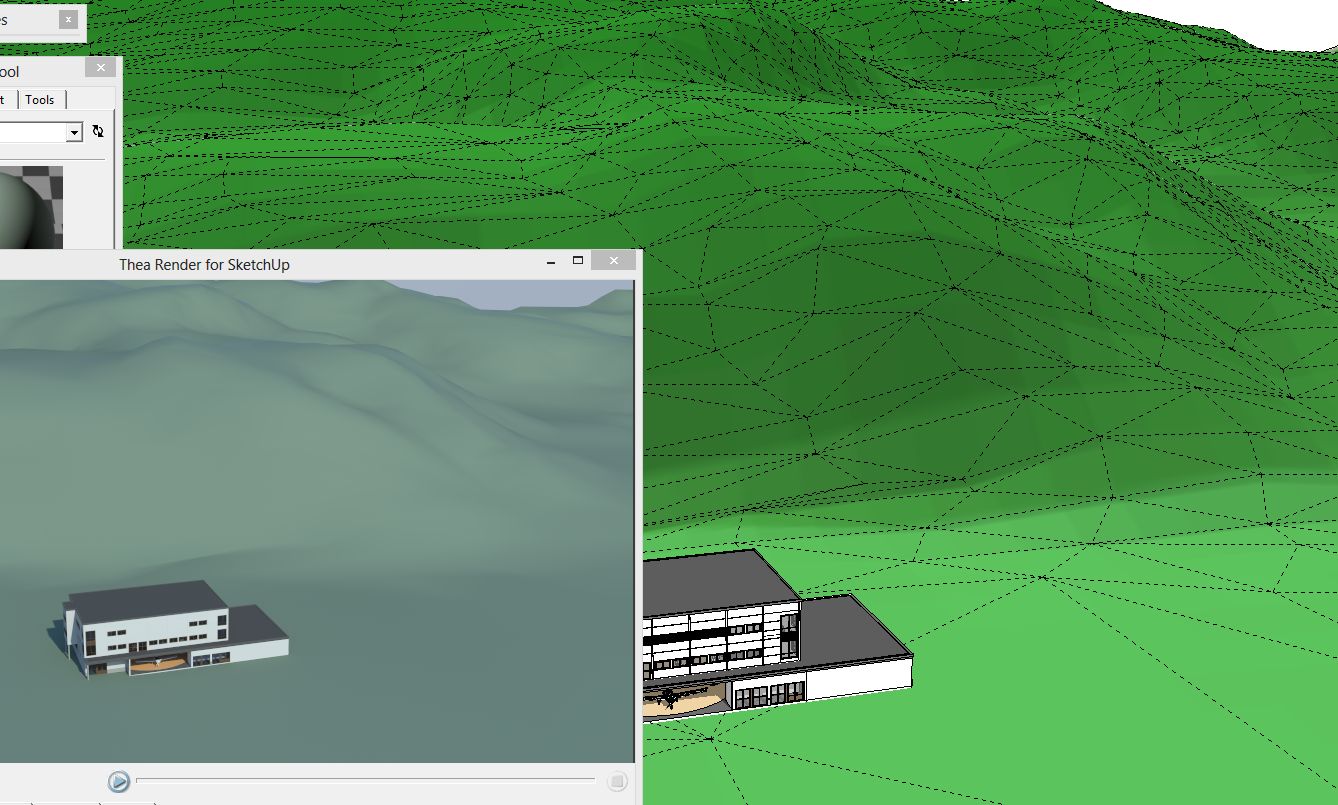
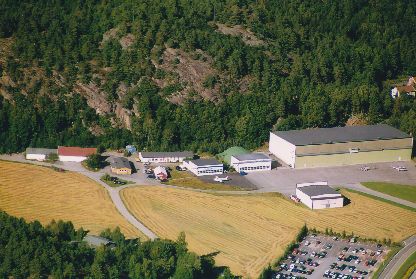
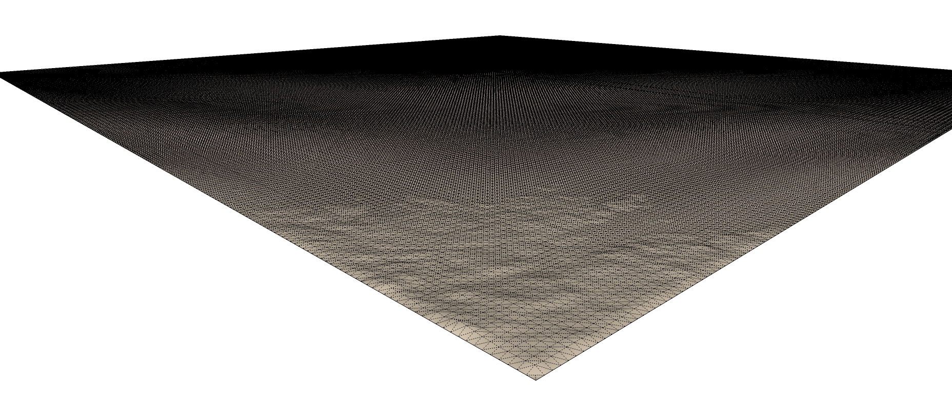
This terrain was grabbed from this site: http://bengler.no/terrafab who is using the same source of DEMs to 3D print landscapes. It was in x3d, and very ugly "striped". It actually looked like a coarse model that had been subdivided without any smoothing.
That particular project will be composited with a low-altitude aerial photo, so it's just for testing the DEM..But I really would like to be able to use that free source with DEMs instead of having to buy DXF files with contour lines and roof edges at pretty high prices. But they have to be manageable inside SU too. There has to be a convenient pipeline..
-
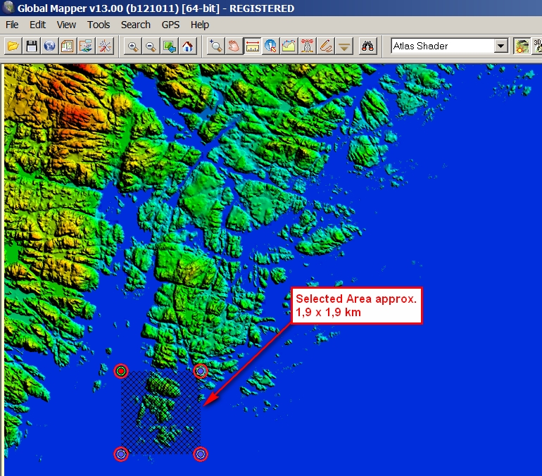
@charly2008 said:
Hi,
I'm working with Global Mapper (I'm no expert!). I have only one part of the terrain selected and exported as DXF 3D Face file since the whole terrain (appox. 50 x 50km) is very difficult to handle in Sketchup. Global Mapper is also available as a trial version.
Nice
I downloaded v13 and managed to load a DEM file. But to save/export required registration, which was not available now (website down/gone?)I've also found some programs that will make contour lines from your DEM, like this one: http://freegeographytools.com/2007/converting-digital-elevation-models-to-shapefiledxf-contours
I have not tested it (yet), and it doesn't really say anything about creating contour lines in 3D... ? -
Hello,
I am trying to import a DEM into SU Pro 2015 (MacBook Pro, OS Yosemite) and am having difficulties. I downloaded elevation data from web-site (search for "Mntopo' web site) in the form of a DEM. The resulting files were of extensions .bil, .hdr, .xml,.....I had no luck importing. I tried downloading from the same web site in a different format , the extensions were different (and many). Still, I had no luck importing. Any suggestions? I am trying to create a 3D model of a wetland mitigation site. Thank you! Best, Jeff
Hello! It looks like you're interested in this conversation, but you don't have an account yet.
Getting fed up of having to scroll through the same posts each visit? When you register for an account, you'll always come back to exactly where you were before, and choose to be notified of new replies (either via email, or push notification). You'll also be able to save bookmarks and upvote posts to show your appreciation to other community members.
With your input, this post could be even better 💗
Register Login


Advertisement