Topo thingie
-
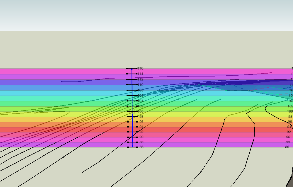
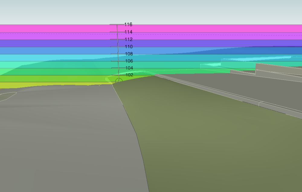
I made these components to visualize contours and terrain models while working. It helps get visual reference to level and quick elevation check when you have a lot terrain modeling. I've yet to see if I'll continue to use it.
They are face-me components. You place them in your view and orbit to visually check elevations. There are edges at the center grid to snap to known elevations. After that restrict movement to horizontal using the arrow keys.
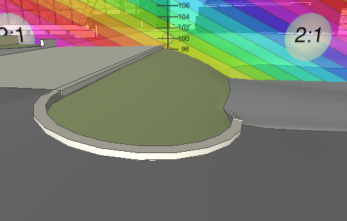
The elevation of the 2:1 slope component isn't important. You can use that component for visual reference while adjusting the model or draw lines on the image face and leave in place for later reference. Or you can use the protractor tool on the image face to show other slopes in that plane.
Sorry it's fixed for units and slope, but one can make other versions easily with an image editor like GIMP or PS. There's a transparent rainbow image attached if you want it.
They are components so use the import command to put them in the model.
-
Hi, Peter:
I would like to acknowledge what a potentially useful tool this can be. Perhaps those who have downloaded can provide some good feedback. -
Thanks. It took more to post this than make those. I was trying to fix a contour layout that started with an unmarked plan with a missing contour in a new version. So I was tired of staring at the model and puzzling which contour was that again?-- are they all in position now? and having to count over from the one I was sure of and orbiting to see the stacking.
-
I'd done something similar in the past but nowhere as elegantly simple as that.
Good idea


-
totally sweet... thanks.
-
Thanks for the comments, hope it's helpful or the concept can be used for something.
-
Using your idea, I've done something similar for UK bricks, forum post here.
Thanks for the insperation.
Advertisement


