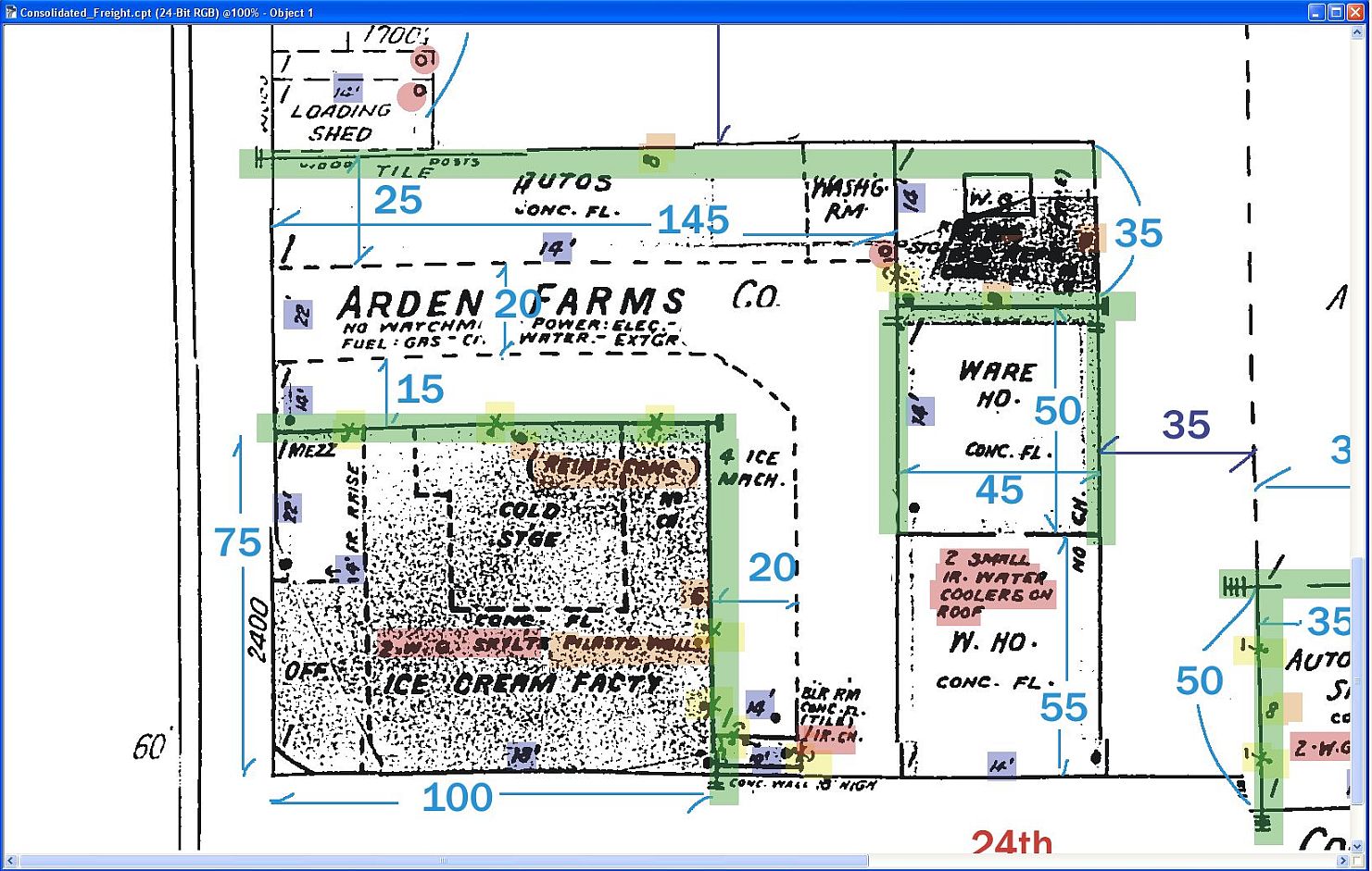
Sanborn Fire Insurance Maps
-
Does anyone know where one could find a free resource for the above mentioned map format?
San Jose Public Library has them, but you need to have a library card account to access the database, and you can't get a card online. You have to show up in person. So I thought I would ask if anyone else has a local library that has these maps available online in digital format?
Appreciate the help folks.
-
I know Cal Berkeley has a great Map resource library, but it might also only be accessible in person.
Why not drive up to San Jose? Its not all that far. It would be a fun trip.
Chris
-
Has anyone else used this type of resource to model from? It would be interesting to see if any history has been modeled from this type of information, don't you think?
-
@jaxcoffee said:
Has anyone else used this type of resource to model from? It would be interesting to see if any history has been modeled from this type of information, don't you think?
Modeling from Sanborn maps is pretty much what I do. I have a San Jose library card which gives me access to the California maps and at various times I've had access to NC, UT, MT, and NY maps as well.
I've found that it helps a whole lot if the building is still extant and can be seen in birdeye's view in MS Bing. Sometimes Google street view is clear enough to also be useful but a lot of times the Bing images is good enough.
Do you have any question's in particular?

-
@genma saotome said:
@jaxcoffee said:
Has anyone else used this type of resource to model from? It would be interesting to see if any history has been modeled from this type of information, don't you think?
Modeling from Sanborn maps is pretty much what I do. I have a San Jose library card which gives me access to the California maps and at various times I've had access to NC, UT, MT, and NY maps as well.
I've found that it helps a whole lot if the building is still extant and can be seen in birdeye's view in MS Bing. Sometimes Google street view is clear enough to also be useful but a lot of times the Bing images is good enough.
Do you have any question's in particular?
Thanks so much for your input Dave. I have sent a PM to you with a question.
Thanks again.
Advertisement


