Google Earth Mars
-
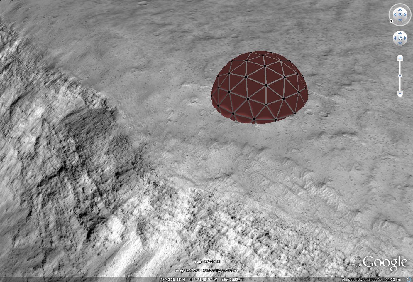
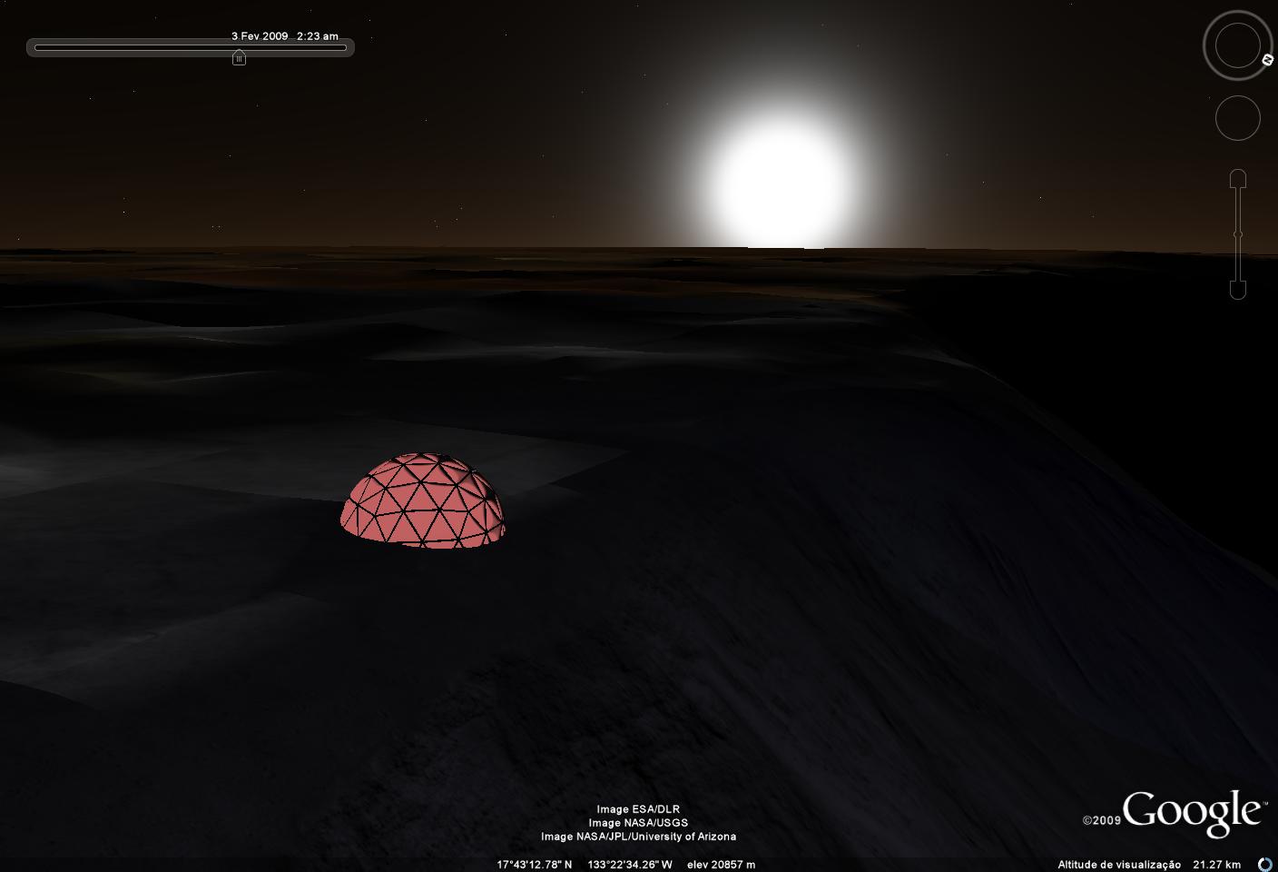
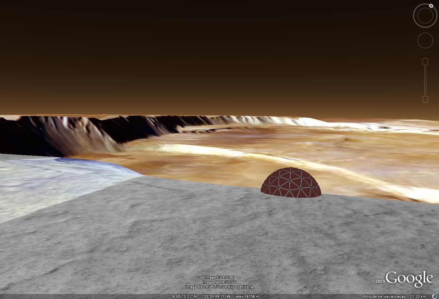
Have you seen this new feature of google earth??
We can start placing our models on the martian surface.
I did't have time to make a model, but i did something that i had imagined some time ago, the best place for one of TaffGoch Geodesic Domes, the edge of the Olympus Mons Caldera lol, i think it looks nice, what do you think?
-
That's a Darn Big Vulcano - watch what you are playing there!
-
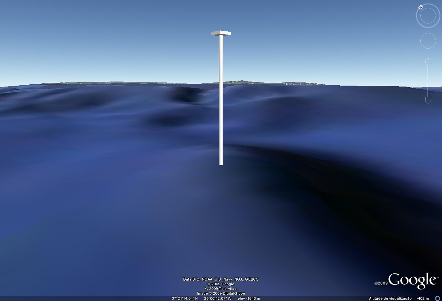
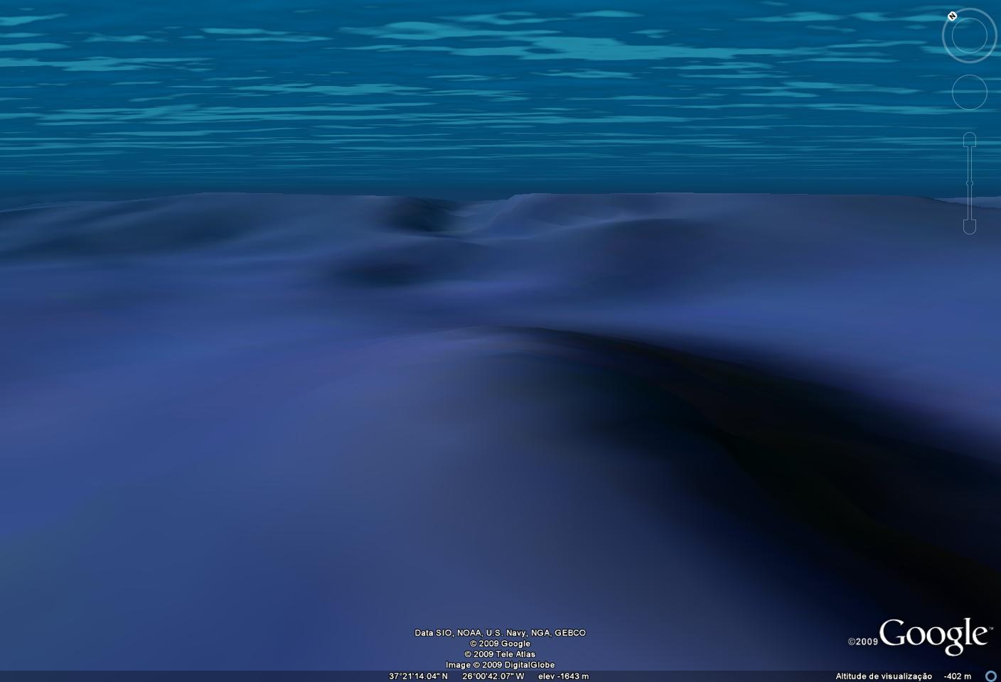
I've just tried placing a simple model under the water, and it worked with some problems.
First you have to place the model in sketchup well under the coordinates of the map you get from GE, it seems that the highest point in any underwater topography you import will always be 0 in sketchup.
And to view the model in GE from an underwater perspective you have to turn the water surface off, so no cool pictures from below the seas for the sketchup fans, wich is disapointing.
Hello! It looks like you're interested in this conversation, but you don't have an account yet.
Getting fed up of having to scroll through the same posts each visit? When you register for an account, you'll always come back to exactly where you were before, and choose to be notified of new replies (either via email, or push notification). You'll also be able to save bookmarks and upvote posts to show your appreciation to other community members.
With your input, this post could be even better 💗
Register Login


Advertisement