Google Earth into Sketchup?
-
If 7.1 you can import when GE is open
if 8 just choose add location
Which version Oli?
-
Actually in 7.1 you can use Tools>Google Earth>Get current view....
In 8 it's View>Toolbar>Google and in the toolbar 'Add Location'
-
Im using 7.1 because I can still import dwg files for free!
Shame how they removed this feature from 8, an incentive to buy I guess.
right i'll give it a go now. cheers
-
@olishea said:
Im using 7.1 because I can still import dwg files for free!
Shame how they removed this feature from 8, an incentive to buy I guess.
right i'll give it a go now. cheersA weak marketing ploy as you can still keep 7.1 just to do your dwg imports and then import that file into a v8 skp... however, v8 does offer several other new features as well as various format import, like Layout and boolean ops...
-
BINGO!! Is this one of those 'duh' moments?
how come the actual satellite photo texture is in black and white?
TIG. yeah i really liked the bool style tools but I just didn't think they were worth the money. Also, photomatch is now crap!! I have to use 7.1 because there are less features in the new one!! WHY?!!
-
Well with 8 it imports in colour then save as 7...voila
-
besides 8 being in color, it also has more detailed and precise terrain elevations.
edit- and you don't have to also use google earth with su8
-
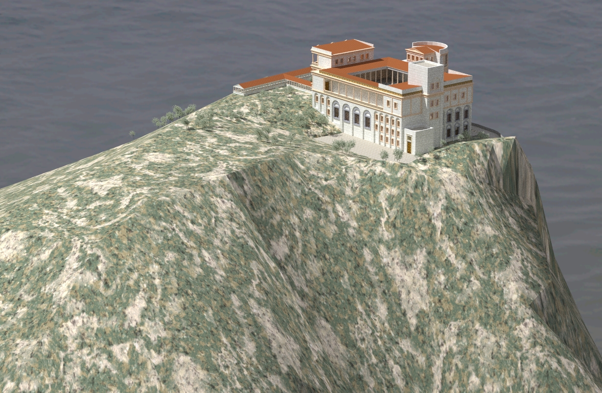
cheers guys massive help!! its for a university project, im designing a shrine of all things.
i just deleted sketchup 8 out of frustration! time to reinstall.....
-
Hi,
Please, can you help me with this problem i asked in the post below.
http://forums.sketchucation.com/viewtopic.php?f=15&t=31427&p=276692#p276692
Charly
-
can i just ask why you still want to import into sketchup 7? you get a colour texture in sketchup 8....
-
You asking charly or the world?
-
Too bad that the image resolution is still pretty weak in version 8, I believe that bing 3d maps may be better.
-
Hi Olishea,
I have also ver.8 but mainly I still work with 7.1. And I can not stop if something is not working properly.
Charly
-
@solo said:
Too bad that the image resolution is still pretty weak in version 8, I believe that bing 3d maps may be better.
Pete, is there a way to get Bing data into Sketchup?
-
same here charly, i'm still with 7.1 for most work.
is there a way of saving the spherical image from google street views? i can see the preview in google earth (see screengrab) but i cant save the whole image.....any suggestions? (besides stitching)
-
@solo said:
Too bad that the image resolution is still pretty weak in version 8, I believe that bing 3d maps may be better.
Some places, yes. My city's just a barely coloured blob in Bing. The new SU 8 import brings in the best available resolution both for the imagery and the terrain (when zoomed in properly).
-
Csaba,
I agree with you. Also the terrain overlap in SKP 8 has been clearly improved. Yesterday I bought a 24 "widescreen monitor and I'm thrilled that I can now import huge pieces. It is a pity that the selection window, only in height but not can change in width.
Charly
-
I would still like a safe and precise way to merge those terrains (hopefully not completely manually).
-
I would like also. The other would be a better projection of the image. But I do not know if such a thing were possible. That would probably require a more accurate DTM.
-
Hehe. That's a neat, slanting shoreline!
Advertisement