Real time shadow behavior world map
-
Hi.
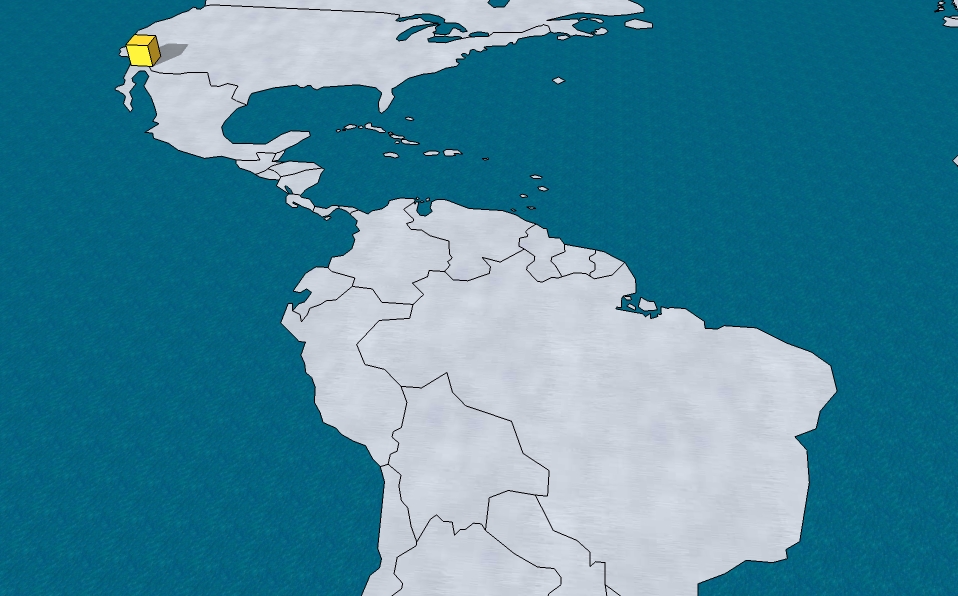
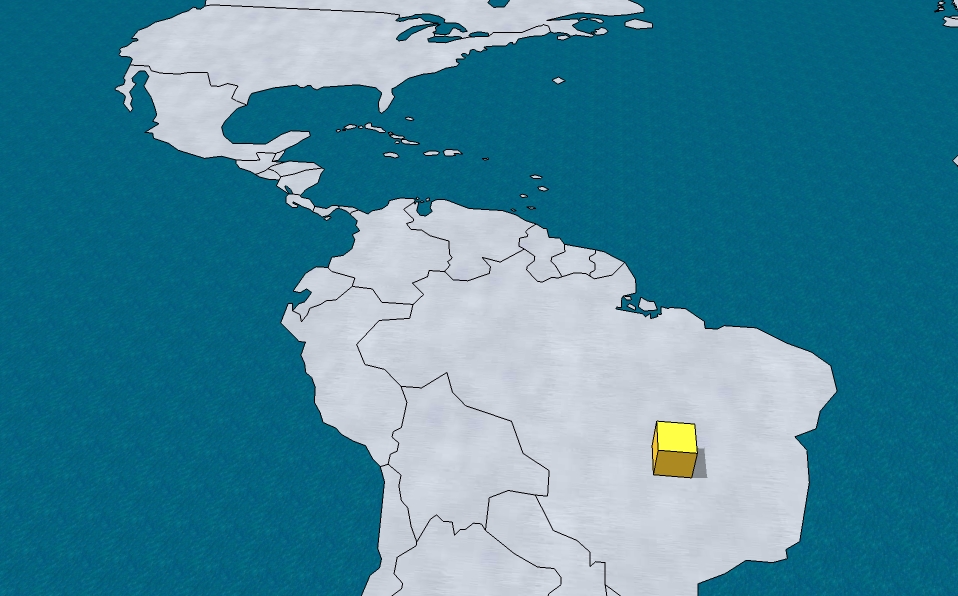
I’m interested on making a tool in Sketchup that can show in a very graphical manner how the behavior of shadows is determined by location, this is for academic purposes. The idea is that, instead of inputting the location coordinates on a dialog box and see the shadow output on a fixed 3D shape, I would like to move that shape over a map and see how it’s shadow changes as it’s been moved around the world (see pictures). Have this been done before or is it possible? Thanks for any help.


-
Hi again.
Well, it has been 5 days without a single reply, so I will take it as a "No, it can't be done". Still, I'm wondering if it can be done in a different way. Let's forget about moving the object, lets say it stays put. Knowing that there are sliders that can change the date and time and see in real time how shadows change, can a "slider" be done that changes the location coordinates? BUT, instead of having sliders, can the coordinates be inputed by sliding a cursor over an image of a world map and, as the cursor moves over the world, see how shadows change depending on the cursor coordinates? Thanks for any info anyone can provide.
-
Sure, it might be able to be done. Changing the shadows when the cursor moves is probably do-able. Mapping the coordinates of the map to the altitude/latitude and timezone is another matter, and probably rather time consuming. It could be an interesting project though if someone really wanted to tackle it.
And actually I think that your first example might be able to work. Do you have a nice model with a map built into like the one in your images? It might be easier to play around with if the map was supplied.
Chris
-
Hi Chris.
The map in the image is a model I downloaded from the Sketchup warehouse. I'm attaching it to this post. By the way, you have some great video tutorials at youtube, I was watching them before reading your reply.
@chris fullmer said:
Sure, it might be able to be done. Changing the shadows when the cursor moves is probably do-able. Mapping the coordinates of the map to the altitude/latitude and timezone is another matter, and probably rather time consuming. It could be an interesting project though if someone really wanted to tackle it.
And actually I think that your first example might be able to work. Do you have a nice model with a map built into like the one in your images? It might be easier to play around with if the map was supplied.
Chris
Advertisement


