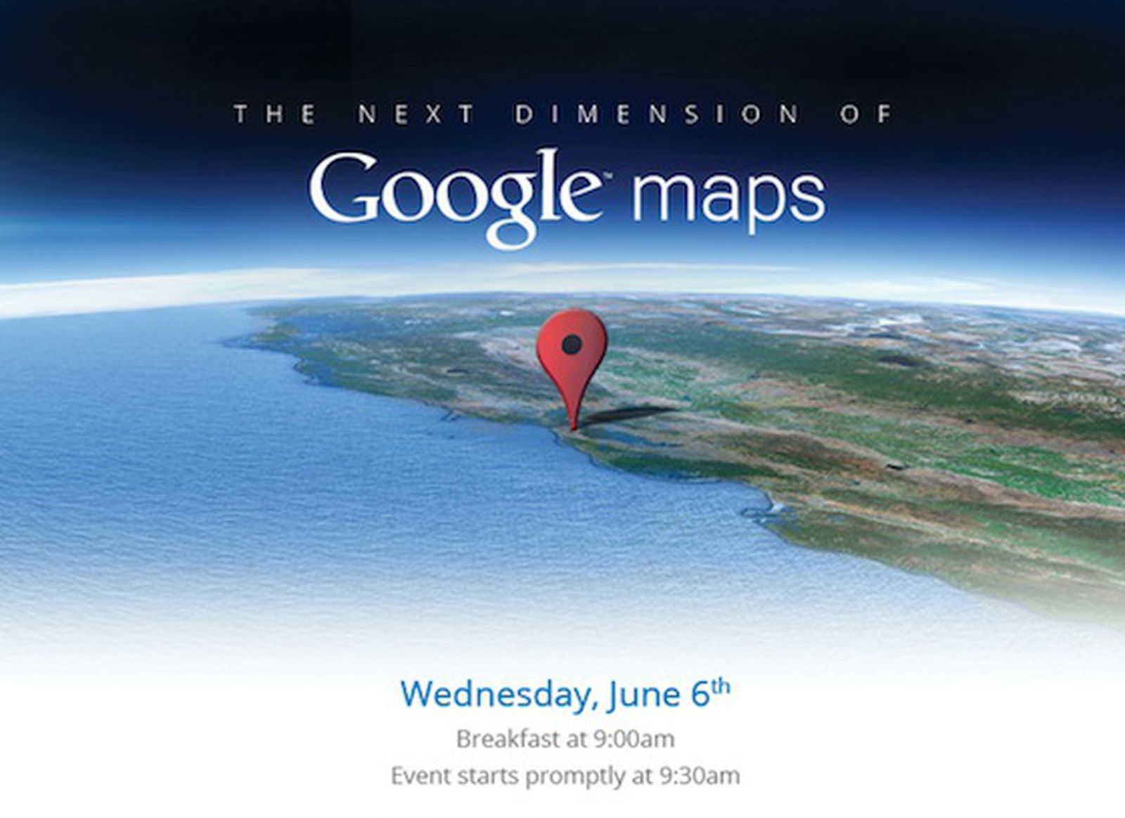
Is this the reason Google sold SketchUp?
-
Could be, I don't know...
http://www.theverge.com/2012/6/6/3068231/google-maps -
Personally I think the reason that they sold SU was the reason that they said they sold SU - that it wasn't a core business and they are better off using their resources on the most important and lucrative projects.
IMO SU is an already perfectly suitable tool for GE models. They don't any more development and they are keeping ties so that SU and the 3DW is used by GE.
While this new development will hopefully provide awesome 3D maps and buildings to see, the fact is that initially it will only be a dozen or so major cities, and will probably only cover the major areas for years to come. For the small towns and cities, user generated models will be the only source for 3D in GE.
-
I wonder why they announced it exactly now (ok, because the fruit isn't ripe yet). I mean it was obvious that at some time it would become feasible to scan the world instead of reproducing it by hand. Whether they announced the technology earlier or later in some months/years, there won't be much change soon for most parts of the world.
So it could be just a co-incidence.
Anyway, it's also conclusive that Larry and Sergey did clean up and put focus on the core business (they just had too many beta projects with lack of developers to get serious progress).
-
@aerilius said:
I wonder why they announced it exactly now (ok, because the fruit isn't ripe yet).
because in a couple of days, apple is announcing they are dropping google maps from iOS..

Google to Show Off 'Next Dimension' of Maps on June 6
With Apple reportedly abandoning Google in favor of its own mapping solution for iOS 6, 9to5Google reports that Google will be holding an event on June 6 to show off "The Next Dimension of Google Maps". The event comes just five days before Apple is expected to show off details of iOS 6 at its Worldwide Developers Conference keynote.

MacRumors (www.macrumors.com)
-
This technology looks like something that Trimble owns, coincidence?
-
interesting...
-
Looks like you guys are joining up all the dots
 They say a 'plane' in the article, but so is the X100. Did anyone read my article on the X110 in last month's CATCHUP
-
Didn't I mention this in another post, it is very like what Trimble provide, 3D scanning, my theory is Trimble have a plan where SU and their 3D scanning capabilities become combined, we have seen the IOS maps soon to be released, the screen shot above of googles new maps is very similar to the IOS maps, in fact they are extremely similar, I believe Trimble and google are working together on this project and SU was required by Trimble as a bargening chip, it's just a theory

-
@mike lucey said:
Looks like you guys are joining up all the dots
 They say a 'plane' in the article, but so is the X100. Did anyone read my article on the X110 in last month's CATCHUP
Yes of course, trimbles x100 is exactly which they are mentioning as the plane in the post above, I don't know if you agree with me but I'm convinced
-
An X100... I want one!!!
-
-
@johnsenior1973 said:
...While this new development will hopefully provide awesome 3D maps and buildings to see, the fact is that initially it will only be a dozen or so major cities, and will probably only cover the major areas for years to come. For the small towns and cities, user generated models will be the only source for 3D in GE.
That's very true. True for "simple" aerial images, too (much of the globe is so blurry on the maps that you can hardly see individual buildings). It was also true for Building Maker imagery (in my country, only the capital has them for instance - leaving out cities with 100,000+ inhabitants completely) or even Street View. So what I expect is that this technology, no matter how fast and accurate it is, will only progress very slowly.
Google can now "impress" their investors and will probably make big progress in the US in the coming years but the "rest of the world" will be covered much slower. Yeah, some major tourist destinations (for US tourists) like Paris, London etc. may come earlier but I doubt that smaller places will have a chance to appear with this technology any time soon.
-
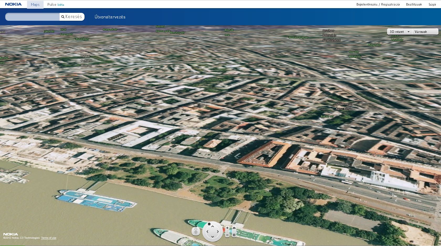
I guess the G.Earth will look similar to this one:
http://maps.nokia.com/webgl/
(check the main European cities, Madrid for instance)
Tere's no need in manual (SU) labor (may be only for the buildings to be erected). -
@rv1974 said:
(check the main European cities, Madrid for instance)
Yes, this is what I mean. Here is our capital with 2million+ inhabitants in "3D".

So what can smaller places hope for? -
That's because you Hungarians don't buy enough Nokias. No money no honey

-
Well, incidentally I have a Nokia (true that it's "screen" only has some 164 pixel resolution and good only for phoning)

-
Some heads-up:
http://googleblog.blogspot.hu/2012/06/never-ending-quest-for-perfect-map.html
and the "what happens to my GE models" announcement:
https://groups.google.com/forum/#!topic/3dwh/-GQj7OlZshA/discussion
Advertisement


