Aerialod
-
Aerialod (free)
By Ephtracy the Autor of MagicaVoxel (so same ergonomy for the render!
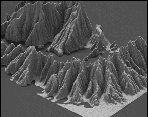
An interactive path tracing renderer for height maps.
support rendering height maps of size up to 16384^2.
support importing and exporting 8-bit and 16-bit png imagesHeight Bit Depth: 1, 2, 4 for 8-bit, 16-bit and 32-bit internal texture formats.
ASC format: Defra Data Services Platform
DTM format: HiRISE (NASA)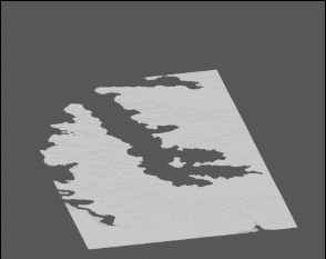
-
I am waiting the Stereographic projection (buttons are existing)

Hello! It looks like you're interested in this conversation, but you don't have an account yet.
Getting fed up of having to scroll through the same posts each visit? When you register for an account, you'll always come back to exactly where you were before, and choose to be notified of new replies (either via email, or push notification). You'll also be able to save bookmarks and upvote posts to show your appreciation to other community members.
With your input, this post could be even better 💗
Register Login


Advertisement