Local hillock
-
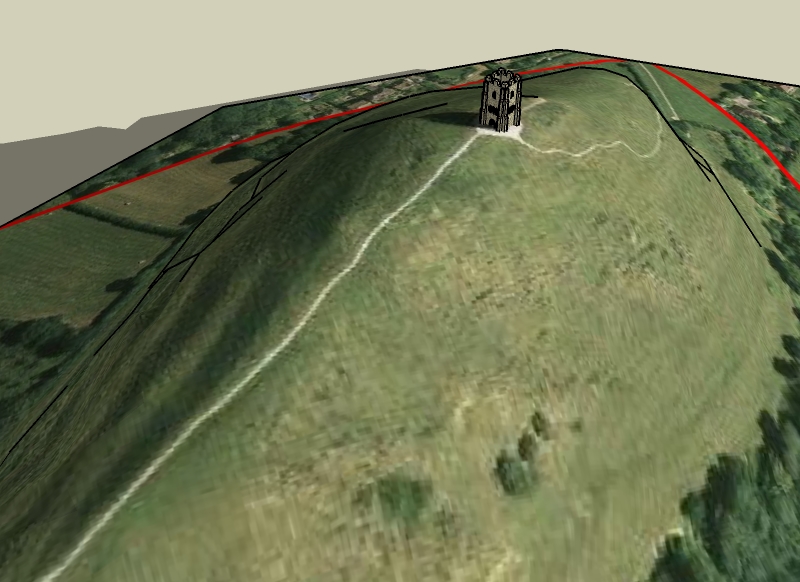
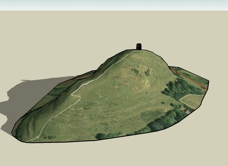
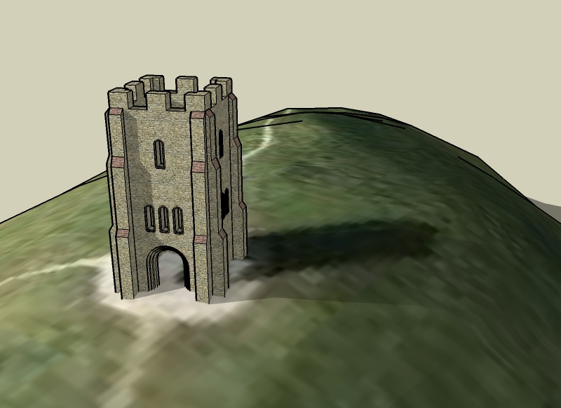
I wanted to mess aorund trying to model some terrain to a reasonable degree of accuracy, os i chose a local hill with a church on top. Turned out doing th church was the hardest part! all those bllody windows took forever to cut.
-
Remus,
Looks great. Very effective model. Conveys the feeling of the place.
Fred
-
Cool. That is some serious elevational change. Any chance you get snow there... sledding???
-
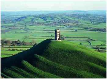
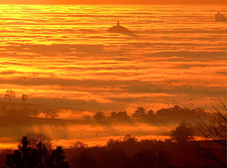
Is that Glastonbury Tor? I was up there once with a very bad hangover after Glastonbury festival contemplating how to get home. Cool model remus.
-
Indeed it is jon, good knowledge
 not uite sure why youd want to go up there with a hangover though, wouldnt be a pleasant experience
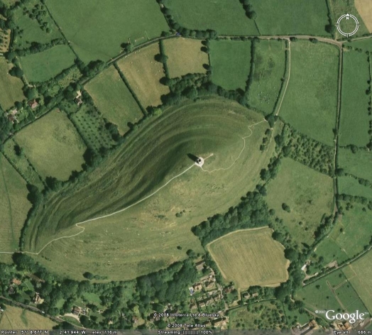
Boo, indded it is quite an elevation change, its next to an area caled 'the levels' which as it suggess is quite flat, kinda accentuates the size of the thing.
-
Remus am I right in thinking that area is called the Isles of Avalon because the levels used to flood so the hills looked like islands? The hangover wasn't pleasant, it must have been at least 10 years ago. I was young then, I couldn't cope with Glasto now.
-
Yeah, i ont know any specific details but it was called the isle of avalon and it was an island.
-
Wow. Impressive place. Where is this structure located actually? I like the model too.
-
It's Glastonbury Tor in the South West of England.
Bob
51°8.677'N 2°41.944'W
Hello! It looks like you're interested in this conversation, but you don't have an account yet.
Getting fed up of having to scroll through the same posts each visit? When you register for an account, you'll always come back to exactly where you were before, and choose to be notified of new replies (either via email, or push notification). You'll also be able to save bookmarks and upvote posts to show your appreciation to other community members.
With your input, this post could be even better 💗
Register Login


Advertisement